Curated OER
People and Places
Fifth graders investigate how the geography of the land effected the human experience of the Lewis and Clark Expedition. They research using primary and secondary sources, design a map.
Curated OER
You Can Do It, Mr. And Mrs. Mallard!
Students watch the video "Make Way for Ducklings" by Robert Mc Closkey. They write letters to Mr. and Mrs. Mallard and make a map for the mallards. They talk about the importance of animal habitats.
Curated OER
Whole Language Approach to Map Making
Fifth graders, after reading Island of the Blue Dolphins, explore map making using the Whole Language Approach.
Curated OER
On the Road with Marco Polo: Marco Polo in China
Students investigate who the Mongols were and where their empire was located. They research Kublai Khan and the region he ruled. They study the major products of 13th Century China.
Curated OER
Geography: Analyzing the Local Environment
Students, in groups, explore the school grounds and organize their findings according to the five themes of geography. They take notes and sketch the grounds. Students divide the school and grounds into regions based on use.
Curated OER
In Celebration of the Silk Road
Sixth graders explore the ancient trade routes of the Silk Road with a focus on a province in China to identify artifacts and research how these items arrived in the city of Turpan.
Curated OER
Polar Day: Living in the Canadian North
Pupils study the Canadian North. In this Canadian North lesson, students study the physical characteristics and the lifestyles of people in that region. Pupils complete map making and creative activities that help them learn about...
Curated OER
Back-to-school ESL Ideas
Pupils share their countries and languages, flags, cultural identity, and pride in home culture.
Curated OER
Connections Between World Events, Geography and the Human Quest for Knowledge
Students examine the relationship between innovations in geography and world events. Using maps, they report different information from a spatial perspective. They develop hypothesis about how man's quest for knowledge has impacted the...
Curated OER
Context for Exploration
Young scholars examine watershed maps from the Columbia River. They practice using maps and create their own watershed map. They share their map with the class.
Curated OER
the Bronze Bow By Elizabeth George Speare
Sixth graders learn about how Rome occupied ancient Palestine around 35 BC to 35 AD through cartography mathematics, creative writing and art.
Curated OER
Boundaries
Young scholars are introduced to the term of mental mapping. Individually, they develop their own mental map of Washington state and discuss as a class what makes a boundary. They draw their mental map on paper and compare it with...
Curated OER
Geography and World History
Students build off of their current knowledge of geography and world history, while being introduced to new concepts and ideas.
Curated OER
Design Your Own Building
Pupils explore the use of design principles in the real world. They evaluate how problems can be solved using design principles. In groups, students design the floor plan for a building of their choice.
Curated OER
My Own Private Idaho; Using Social Studies to Explore Idaho
Students engage in several activities to explore Idaho and Social Studies themes. Using an variety of media, students become familiar with Idaho's geography and geology.
Curated OER
GEOGRAPHY: SPACE CENTERS
Students examine the descriptive science dealing with the surface of Earth, its division into continents and countries, climate, natural resources, inhabitants and industries of the various divisions and analyze the political geography...
Curated OER
What's Its Slope
Students identify the slope of a lines.In this algebra lesson, students define the meaning of slope and write an equation given the slope. They graph linear functions using the slope and y-intercept.
Curated OER
Language Arts: Novel Guides
Students discuss the Revolution and consider the causes of the war, the attitudes of the colonists, and the position of the British. Then students explore American involvement in wars since the country's inception.
Curated OER
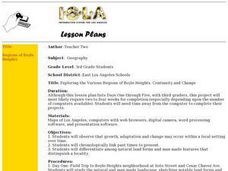
Exploring the Various Regions of Boyle Heights: Continuity and Change
Student study the local landscape of Boyle Heights, California and draw a sketch of the area. Students use map making skills in this activity. Studient make a portfolio of information and photographs they accumulate over time on the area.
Annenberg Foundation
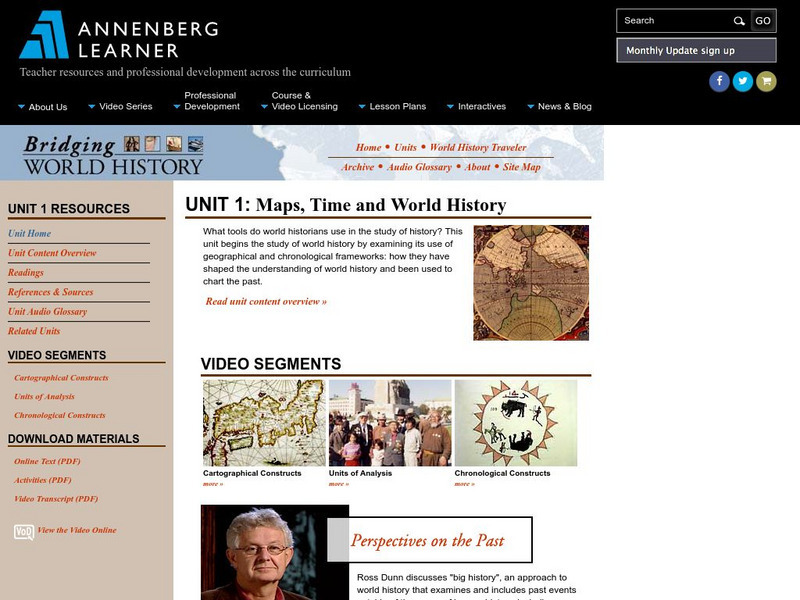
Annenberg Learner: Bridging World History: Maps, Time, and World History
Learn how map projections and chronological constructs are used in the study of world history and help us to understand and interpret the past. Part of a larger site on world history, this unit on maps offers complete reading,...
Library of Virginia
Virginia Memory: Blank Space: Mapping the Unknown
How did early maps show the mapmakers' perception of the known world? Early mapmakers used maps drawn from coastal explorations, land travels, and even information heard word of mouth from American Indians or from colonists or traders....
American Geosciences Institute
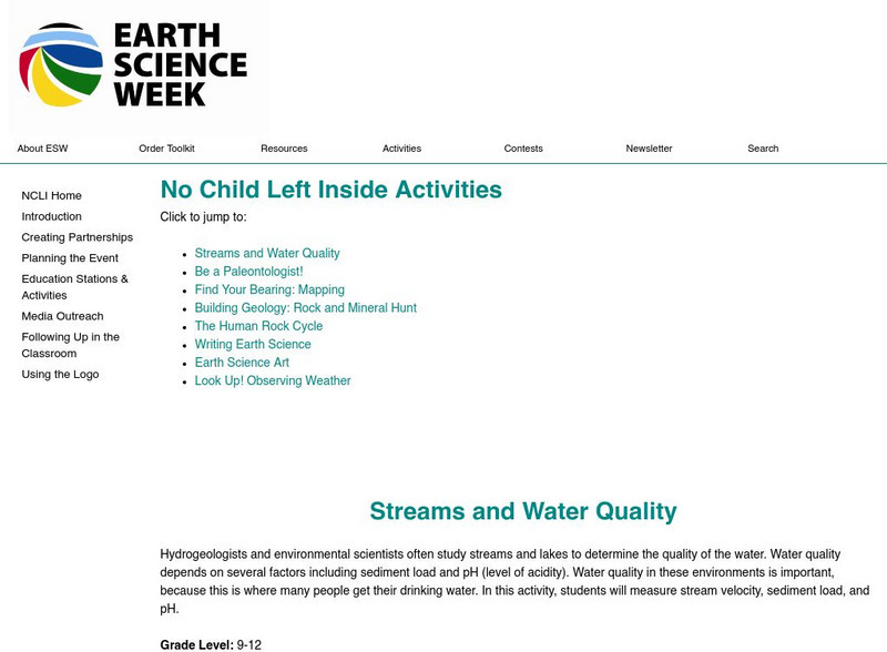
American Geosciences Institute: Earth Science Week: Find Your Bearing: Mapping
In this exercise, students use compasses to make a map of the school's campus.
Science Education Resource Center at Carleton College
Serc: Topographical Maps, Contour Lines and Profiles
In this mapping field lab middle schoolers determine the elevation of a given object in a designated area on the school campus using cartography tools. Then they use of these tools to create a contour map of the area.
TeachEngineering
Teach Engineering: What Is Gis?
Geographic information systems (GIS) are important technology that allows rapid study and use of spatial information. GIS have become increasingly prevalent in industry and the consumer/internet world in the last 20 years. Historically,...


