Curated OER
Mathematics of Cartography
Students practice their math skills as they explore maps. In this cartography lesson, students calculate distance, scale, coordinate systems, and projection as they work independently reading online maps.
Curated OER
Mapping the News
Young scholars explore cartography. In this map skills and map making lesson, Students work in groups to create wall size world maps including legends, compass roses, latitude and longitude, and physical features. Young scholars...
Curated OER
Cartography
Students research about cartography and how to be a cartographer. In this math lesson plan, students draw a map of their classroom. They use a robot to explore navigation using a compass rose.
Curated OER
Geo-Class Mapping My Neighborhood
Students create a map of the school and surrounding neighborhood. For this mapping lesson, students discover their school's location and learn about its past. Students use math skills and the steps in the design process to complete the...
Curated OER
Cartography
Learners follow directions to draw a map of an island. They complete the island map adding their own details using symbols and a legend.
Curated OER
Cartography Project
A instructional activity involving mapping, the use of a compass, writing and following directions, and exploring the first two themes of geography is here for you. Learners create original maps that show the routes they take through...
Curated OER
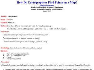
How Do Cartographers Find Points on a Map?
Ninth graders describe latitude and longitude and how they may be useful to find things on a map. In this cartography lesson students divide into groups and devise a coordinate system that can be used to communicate a position.
Curated OER
the Bronze Bow By Elizabeth George Speare
Sixth graders learn about how Rome occupied ancient Palestine around 35 BC to 35 AD through cartography mathematics, creative writing and art.
Curated OER
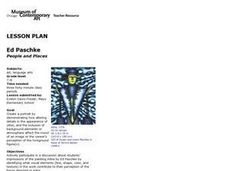
People and Places
Fifth graders investigate how the geography of the land effected the human experience of the Lewis and Clark Expedition. They research using primary and secondary sources, design a map.
Curated OER
A Contouring We Go
High schoolers examine the built environment and infrastructures of their community by constructing contour equipment, using the equipment, and comparing their results to current topographical maps of the same area
Curated OER
Da Vinci's Renaissance
Students study the Renaissance through an examination of the life and accomplishments of Leonardo Da Vinci.


