Other
Bscs: Earth's Changing Surface Lesson 3: Grand Canyon Explorers
Students will learn that landforms can change over time in this lesson. Included are a minute-by-minute lesson plan, activities, and teacher discussion points and questions.
Other
Bringing History Home: Children Long Ago
This Kindergarten unit introduces learners to the concept of change over time by examining the historic counterparts of objects in children's daily lives, e.g., toys, food, cars, music, telephones, and toothbrushes. This develops an...
Stanford University
Sheg: Document Based History: Reading Like a Historian: Mapping the New World
[Free Registration/Login Required] Students read primary source documents to solve a problem surrounding a historical question. This document-based inquiry lesson allows students study two 17th-century maps of Virginia and think...
National Geographic
National Geographic: European Borders Through History
Lesson in which students use maps to explore how European political borders have changed over time. Maps after WWI, WWII and European Union provided for comparison.
American Geosciences Institute
American Geosciences Institute: Earth Science Week: Exploring Color Maps
An activity where students study the Ozone Hole poster used that brings together colorful images of over 30 years of satellite observations of the ozone hole. Students interpret the color on the globes to see how the ozone hole has...
Curated OER
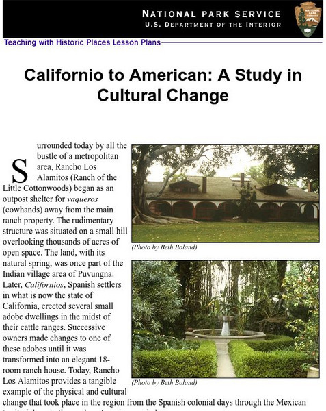
National Park Service: Californio to American: A Study in Cultural Change
This site has a lesson about the ranching industry, creation of California towns and the changes over time. Contains information, inquiry question, historical context, maps, readings, and images.
Other
Ancient Maps: Frames of the Greek World
Understanding that perceptions of the Greek world changed over time is important to reading Greek literature. The perceptions of Homer, Hecateus, Eratosthenes, and Ptolemy are presented as map frames at this site. Consider how Homer's...
Geographypods
Geographypods: Global Interactions: Changing Space the Shrinking World
This learning module examines how the world has become smaller as time and space have converged. Transportation is much faster, making places more accessible, goods can be more quickly and easily transported, and the Internet connects...
Library of Congress
Loc: Primary Sources by State
An interactive map to search for extensive collections of primary sources for each of the United States.
Other
Matthew White: Historical Atlas of the Twentieth Century
An interactive atlas of the world, The different maps show how the governments, populations, socio-economic trends, and religions have changed over time throughout the world.
Burke Museum
Burke Museum: Waterlines: Discover & Explore Seattle's Past Landscapes
Seattle is one of the most dramatically engineered cities in the USA. This rich interactive website enables people to see how Seattle's various landscapes have changed over time. The site starts out with an interactive map of the Puget...
Khan Academy
Khan Academy: American Indian Culture of the Plains
The Plains Indians had a dynamic society that changed over time. See how the introduction of the horse changed their way of life. Read about their religion, societal structure, housing, and tools. Included are pictures, maps, critical...
Other
Illinois State Museum: At Home in the Heartland Online
Exhibit about family life in Illinois from 1700 to the present lets visitors experience the kinds of changes that an environment can undergo over several hundred years. Uses historical narratives, images of objects, timelines, maps, and...
University of Calgary
University of Calgary: Alberta Airphoto Collection, 1922 1956
The Alberta Airphoto Collection consists of around 30,000 public domain images from the University of Calgary Library's collection of airphotos. The images cover urban areas at various scales and years between 1924 and 1952. These...
Other
Bucks County Community College: Visual Organizers
This site walks you through the benefits of visual organizers, and focuses on a variety of types: tables, charts, graphs, timelines, flowcharts, diagrams, and webs.
Digital Public Library of America
Dpla: Manifest Destiny
From twentieth-century posters, monuments, and letters to nineteenth-century maps, biographies, and paintings, this set allows students to gain a greater understanding of how perceptions of manifest destiny have changed over time.
Geographypods
Geographypods: Renaissance Day: Discovering the 'Lost World'
Gain knowledge of how exploration, mapping, and voyages of the Renaissance period shaped and changed our understanding of the modern world.
Curated OER
Educational Technology Clearinghouse: Maps Etc: Summer Monsoon in India, 1910
A map from 1910 of the Indian subcontinent and the Central Asia region showing the typical rainfall distribution patterns during the summer monsoons, keyed to show areas of rainfall ranging from very light to, according to this text, the...
Curated OER
Cbc: The Great Human Odyssey: Homo Sapiens: Child of the Ice Age
A fascinating look at where humans came from. The interactive journey begins in Ethiopia over four million years ago with our ancestor, Ardipithecus ramidus. It continues at intervals along a timeline up to the present. The journey is...


