Science Buddies
Science Buddies: Get Down and Dirty: How Does Soil Change With Depth?
What covers less than 10% of the Earth's surface, yet is a vital natural resource for terrestrial life? What filters ground water and supports most of our food production, not to mention the production of building materials and paper?...
CK-12 Foundation
Ck 12: Earth Science: Earth's Tectonic Plates
[Free Registration/Login may be required to access all resource tools.] Earth's tectonic plates and how they move.
CK-12 Foundation
Ck 12: Earth Science: Earthquake Zones
[Free Registration/Login may be required to access all resource tools.] Covers earthquake zones, causes, and conditions.
CK-12 Foundation
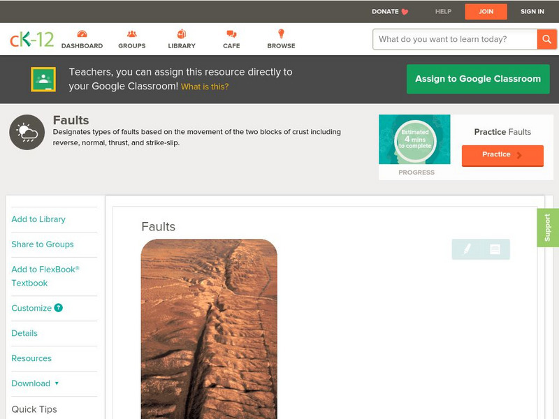
Ck 12: Earth Science: Faults
[Free Registration/Login may be required to access all resource tools.] Covers rock stress, fractures, and types of faults.
CK-12 Foundation
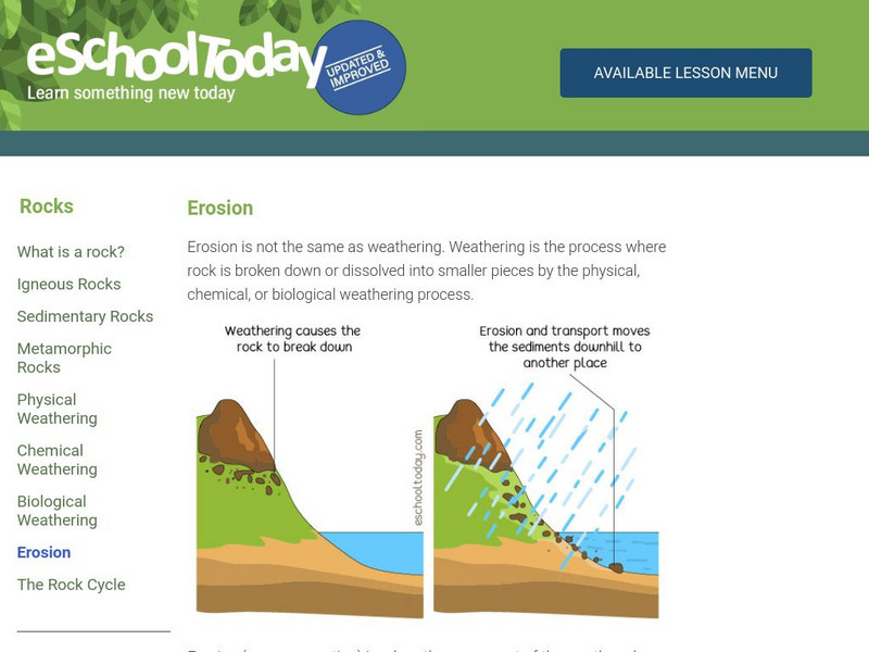
Ck 12: Fourth Grade: Earth Science: Erosion and Deposition by Flowing Water
[Free Registration/Login may be required to access all resource tools.] Discusses how flowing water causes erosion; describes how runoff, streams, and rivers change Earth's surface; and identifies features caused by groundwater erosion.
Other
Bscs: Earth's Changing Surface Lesson 2: Landform Detectives
Using relief maps, students will learn that landforms can be different from one place to another. Included are a minute-by-minute lesson plan, activities, and teacher discussion points and questions.
TeachEngineering
Teach Engineering: The Earth Is a Changin'
This lesson introduces and describes the main types of erosion (i.e., chemical, water, wind, glacier and temperature). Students learn examples of each type of erosion and discuss how erosion changes the surface of the Earth. Students...
PBS
Pbs Learning Media: Global Warming: Graphs Tell the Story
Examine these graphs from the NOVA/ FRONTLINE Web site to see dramatic increases in the temperature of Earth's surface and greenhouse gases in the atmosphere.
Incorporated Research Institutions for Seismology
Iris: Station Monitor
Students can type in their zip code to find and explore the nearest live earthquake station data.
Incorporated Research Institutions for Seismology
Iris: Seismic Monitor
Seismic Monitor allows you to monitor global earthquakes in near real-time, visit seismic stations around the world, and search the web for earthquake or region-related information.
Exploratorium
Exploratorium: Global Climate Change: Atmosphere
Use this site to explore real scientific data relating to the atmosphere. With this information you can gather evidence, test theories, and come to conclusions. Click on the data examples to view a full scale version.
Exploratorium
Exploratorium: Global Climate Change: Hydrosphere
Use this site to explore real scientific data relating to the hydrosphere. With this information you can gather evidence, test theories, and come to conclusions. Click on the data examples to view a full scale version.
Science Struck
Science Struck: What Are Ocean Trenches and How Are They Formed?
Around 72 percent of the Earth's surface is found under the oceans. It has always been contributing to the dynamically changing face of the Earth through the tectonic phenomenon occurring at its depths. Such a naturally occurring...
University of Colorado
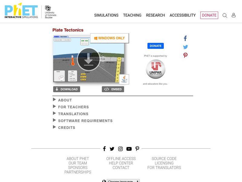
University of Colorado: Ph Et Interactive Simulations: Ph Et: Interactive Simulations: Plate Tectonics
Students studying plate tectonics will better understand its concepts with this virtual experiment that tests how plates move on the surface of the earth. Temperature, composition, and thickness of plates can be changed to create new...
University of Colorado
University of Colorado: Ph Et Interactive Simulations: Plate Tectonics
Explore how plates move on the surface of the earth. Change temperature, composition, and thickness of plates. Discover how to create new mountains, volcanoes, or oceans! Java is required.


