Curated OER
Border History
High schoolers research primary sources to construct an outline of a border city's history.
Scholastic
Teaching with Aesop's Fables
Bring the applicable morals of Aesop's Fables to your classroom with a series of reading comprehension activities. With 12 different fables with activities and exercises, the packet focuses on the ways learners can apply the fables and...
Curated OER
Cecilia's Year
Students read the novel "Cecilia's Year". They answer questions to test for reading comprehension. They also relate the story to their own life.
Curated OER
Mixing Up the Melting Pot
Students examine the cultures of indigenous peoples and how they have or have not assimilated into modern society. They create reports with recommendations on how the Nukak of Columbia could be assimilated into society.
Curated OER
Predicting Severe Weather
Students recognize the range and variety of severe weather. They plan for severe weather conditions that they may experience on an immediate and long-term scale and use climate information to make personal choices about where to live and...
Scholastic
The Rise of Railroads: California
Railways are an integral part of the history of California. Using a timeline format, class members connect major historical events to the rise of the railroads and their impact on the state. Activities include a mix of independent and...
Curated OER
Mapping the Border
Students create maps of the borderland region. They decorate their maps with colors, pictures, icons, scenes, words that reflect their understanding of the character and history of the borderland.
Curated OER
Big Apple, Here We Come
Students role play the role of immigrants coming to America for the first time. They complete an imaginary trip with their family and must rent a car and make seven stops along the way. They calculate distances and use maps to...
Curated OER
GET THE POINT!
The student will measure the width of the horns on drawings of longhorn cattle and then convert the measurements from inches to centimeters and from inches to feet.1. Review with students the steps required to measure an item and to...
Curated OER
The Fugitive Slave Law and Migration
Students examine the Fugitive Slave Law as a motivating factor for slaves to emigrate outside the United States. After discussing the relationships between fugitive slaves and North American and Caribbean countries, they write essays...
Khan Academy
Khan Academy: Biombo With the Conquest of Mexico and View of Mexico City
The influence of Asian art on colonial Latin America is particularly evident in viceregal textiles, ceramics, and furniture. Some examples are the resplendent biombos, or folding screens, made in Mexico beginning in the seventeenth...
PBS
Pbs: The Conquistadors
A huge website that provides a virtual field trip exploring the Spanish adventurers who quested for gold and land in the New World. The site has information on Pizarro, Orellana, Cabeza de Vaca, Cortes as well as extensive information...
A&E Television
History.com: The States
Learn unique facts about each American state. You can also read a more in-depth history of each state, watch videos and play a game about all the states.
CNN
Cnn: World
The Cable News Network (CNN) provides the latest news, issues, and events occurring in the world today. Content includes the top international headlines, including specialized focus on Africa, the Americas, the Asia-Pacific region,...
Curated OER
Etc: Maps Etc: Mexico and Western North America, 1845
A map of Mexico in 1845, prior to the ceding of the northern territories to the United States in 1846. The map shows the territories of Oregon, Texas, and Central America under Mexican control, and the frontiers of the Missouri and...
Curated OER
Unesco: Mexico: Pre Hispanic City of Chichen Itza
This sacred site was one of the greatest Mayan centres of the Yucatan peninsula. Throughout its nearly 1,000-year history, different peoples have left their mark on the city. The Maya and Toltec vision of the world and the universe is...
Curated OER
Educational Technology Clearinghouse: Maps Etc: Mexico, 1920
A map from 1920 of Mexico showing major cities and ports, railroads with connections to the railroad network in the United States, shipping routes from New Orleans and San Francisco with distances given in nautical miles, rivers with...
Curated OER
Educational Technology Clearinghouse: Maps Etc: Mexico and West Indies, 1855
A map of Mexico, Central America, and the West Indies showing the foreign territorial possessions and independent countries in the region in 1855. The map is color-coded to show the territorial and island possessions at the time of Spain...
Digital History
Digital History: The Clinton Presidency
Short, but comprehensive, synopsis of Clinton's two terms as president. Included in the article is the 1992 campaign, successful and controversial legislation, and the scandals that would eventually become part of his presidential legacy.
Walled Lake Consolidated Schools
Loon Lake Elementary School: Francisco Vasquez De Coronado
A biography of Francisco Vasquez de Coronado (1510-1554), a Spanish explorer. In 1535, Coronado sailed to Mexico with Antonio de Mendoza, the viceroy of Mexico. Coronado became governor of New Galicia province, northwest of Mexico City...
Smithsonian Institution
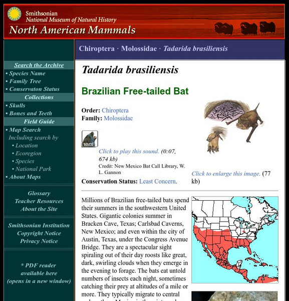
National Museum of Natural History: American Mammals: Brazilian Free Tailed Bat
Millions of Brazilian free-tailed bats spend their summers in the southwestern United States. Gigantic colonies summer in Bracken Cave, Texas; Carlsbad Caverns, New Mexico; and even within the city of Austin, Texas, under the Congress...
Curated OER
Educational Technology Clearinghouse: Clip Art Etc: General Benjamin F. Butler
General Butler was born in Deerfield, N. H., November 6th, 1818. At the time of President Lincoln's call for troops in April, 1861, he held the commission of brigadier general of militia. On the 17th of that month he marched to Annapolis...
Curated OER
Educational Technology Clearinghouse: Maps Etc: North America, 1858
A map from 1858 of North America showing the boundaries at the time for Russian America (Alaska), Greenland, British America or New Britain, Canada East and Canada West, the United States, Mexico, Central America, and the West Indies...
Curated OER
Educational Technology Clearinghouse: Maps Etc: South America, 1921
A map from 1921 of South America showing the political boundaries of the time, major cities, railroads, terrain, rivers, and coastal features, and includes an insert map of the Galapagos Islands. " South America, the fourth largest grand...


