Curated OER
Does Conflict Shape Nations? The Middle East
Students locate settlements and observe patterns in the size and distribution of cities using maps, graphics, and other information. They explain the processes that have caused cities to grow.
Curated OER
Ancient Mediterranean Lands: Greece
Middle schoolers study maps and structures of Ancient Greece and realize how these structures impact times. In this structures lesson plan, students view the structures of how Ancient Greece was put together and discuss how these...
Curated OER
Sydney
For this Sydney, Australia worksheet, students read a text about the history of this city. Students then answer 5 multiple choice questions.
Curated OER
Breakdown
Students read reports and watch a video about World War I. In this World War I lesson plan, students discuss how the government has to take charge on many levels including the oil shortage during World War I.
Curated OER
Using Logos and Mission Statements to Communicate Sustainable Forestry Information
Young scholars survey forestry foundations to see how they represent important information into their logos and mission statements. In this forestry lesson plan, students use the information to better understand visual representations...
Curated OER
Sociology: What is life like for Gulf Coast rice farmers
Students read 1 page about Gulf Coast rice farmers and then describe what rice farming in the U.S. is like in the United States. In this rice farming lesson plan, students tell why they would or would not want to be a rice farmer.
Curated OER
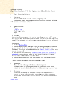
Comparing Distances
Students practice estimating distances by analyzing a map. In this length measurement instructional activity, students view a map with a distance key and use their measurement skills to estimate the distance between two cities. Students...
Curated OER
Discovering New Mexico
Seventh graders discuss the elements of maps and using basic linear measurement. They calculate the distance between the cities and create a simulated journey around New Mexico using a road map. They write out the directions for their...
Curated OER
Alike and Different
Second graders listen to a book about how farms feed the world. They discuss elements of rural life. They listen to a story about the suburbs and discuss elements specific to a suburban community. They listen to a story about city...
Curated OER
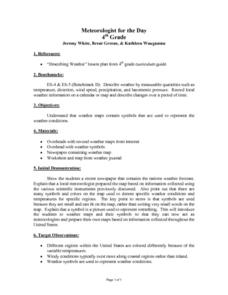
Meteorologist for the Day
Fourth graders examine the symbols used on weather maps. They analyze a newspaper weather forecast and identify and discuss the various symbols used on the map. Next, they prepare a weather map for their own city using the symbols...
Curated OER
Galveston 1900: Storm of the Century
Seventh graders comprehend the effect the 1900 Hurricane, the deadliest natural disaster in United States history, had on Galveston by examining period accounts and photographs. They comprehend how the devastation of the hurricane lead...
Curated OER
A-Scripting We Will Go
Students write script for a puppet show. In this writing lesson, students write a puppet show script using facts from a previous lesson. They listen to DyAnne DiSalvo Ryan's, City Green before discussing the characters and which ones...
Curated OER
Travel to Mesoamerica
Students research books, watch movies, and look on the internet to find information on ancient America, Mexico, and Central America. In this Mesoamerica lesson plan, students participate in a social studies unit on North America of the...
Curated OER
Sunrise, Sunset: Quickly Go the Days
Students explore the concept of daylight. In this daylight lesson, students compare the amount of daylight on a particular day in Anchorage compared with daylight where they live. Students color maps of the US according to amount of...
Curated OER
Where in the world is...
Pupils identify locations around the world. For this mapping lesson, students place tag board pieces with names of locations on a wall map of the world. Initially, pupils identify states, then cities, then continents, eventually adding...
Curated OER
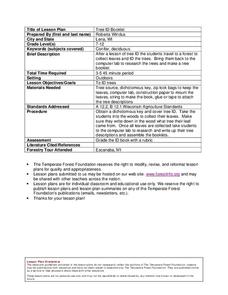
Tree ID Booklet
Young scholars make a booklet of leaves they find and identify the tree they came from. In this tree identification lesson plan, students research the leaves on the internet to determine the tree they come from.
Curated OER
Reading distance on maps
Eighth graders complete worksheets on reading the distance on maps in miles or kilometers. In this maps lesson plan, 8th graders use a calculator and ruler.
Curated OER
Through Time: Change in Sedona
Learners locate events on a timeline of Sedona, Arizona and describe human and physical characteristics of the city. In this Sedona lesson plan, students locate the city on a map and listen to stories about Sedona.
Curated OER
International Business Travel Project
High schoolers research and develop a plan for an international business trip. They conduct Internet research, prepare a structured itinerary, and develop an oral presentation that includes a pie chart itemizing the trip's expenses.
Curated OER
Creek Restoration Project
Students gather and analyze scientific data from a local creek. Over weeks or months, students observe their local environment, collect water samples, and evaluate test results. Extension activities are suggested for evaluating...
Curated OER
To Clear or Not To Clear, That Is the Question
Pupils plan how to manage a fictional timber resource. In this earth science lesson plan, young scholars research the options and repercussions of logging a forested plot of land. Pupils consider the implications of logging to the...
Curated OER
Pandemics
Students develop an awareness of the effect of pandemics and acquire knowledge to prevent a pandemic from spreading. In this pandemics lesson plan, students build research skills using a variety of sources. Students investigate...
Curated OER
This Way with Hemingway
Students work as travel agents to plan an around-the-world trip to all of Hemingway's favorite world locations. They plan an itinerary which includes facets of the trip and record the information in their journals.
Curated OER
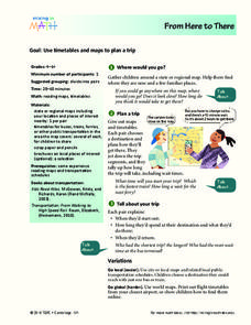
From Here To There
Students plan a trip while using maps and times tables. In this trip planning lesson plan, students work in pairs, and complete problems about gas, travel time, and more.
Other popular searches
- Urban City Planning
- City Planning Geometry
- Middle School City Planning
- City Planning Future Tense
- Esl Lessons City Planning
- Land Use City Planning
- City Planning Portland
- City Planning Is Colorful
- City Planning Jamestown
- City Planning Development
- City Planning Activities


