Curated OER
National Park Service: The Death Knell of the Confederacy
Part of the website for the Appomattox Court House National Historical Park, this site details the final battles at Appomattox Station and Appomattox Court House. Pictures and a map included.
Civil War Home
Home of the American Civil War: Gettysburg Battle Maps
This site provides three small maps depicting the troop alignments on the battlefield of Gettysburg on July 1-3, 1863.
Other
Antietam on the Web
A comprehensive resource from Antietam on the Web of the Battle of Antietam, including historical documents, battle maps and much more.
University of Georgia
University of Georgia: Hargrett Library Rare Map Collection: The Historical War Map, 1862
A large map of the U.S. in 1862 showing the roads and railways primarily in the Confederacy.
University of Georgia
University of Georgia: Hargrett Library Rare Map Collection: Topical War Map of the Southern States
A large detailed map of the central and southern U.S. from 1863. Difficult to read.
Other
Civil War Album: Fort Donelson, Fort Heiman, Fort Henry
This site contains photos taken currently at Fort Donelson and Fort Henry Civil War sites, with some drawings and historical photos. Use the pull-down menu to find a description of the Union victories at Ft. Henry and Donelson, as well...
Ohio State University
E History at Osu: Maps & Images: Antietam
Images of the Battle of Antietam. Shows the landscape of the battlefield as well as images during and the aftermath of the battle.
Library of Congress
Loc: Map Collections 1500 2002
This collection provides maps dating back to 1500 up to the present. The collection includes: cities, towns, discovery and exploration, conservation and environment, military battles, cultural landscapes, transportation, communication,...
Other
48th Ovvi Regiment: The Official Record of the 48th Ovi at Shiloh
This is truly an excellent study and recounting of the Battle of Shiloh. The strategy of the Battle and the importance of the outcome are discussed. Primary resources such as Capt. Posegate's personal account and John Richardson's...
Other
Pocantico Hills Central School: The Civil War for Kids
Written and published by an elementary school class in New York, this site offers lots of information on the Civil War. You'll find pictures, maps, a timeline, and graphs. Learn about battles, leaders, uniforms, flags, and much more....
Other
Virginia Family Research: The Battle of Gettysburg
This site provides a concise description of the Battle of Gettysburg. It discusses each day of the battle and gives an account of the movement of the Union and Confederate troops. Includes pictures of the battle sites and a map showing...
Other
The Battle of Champion Hill: Grant's March From Raymond to Champion Hill
A description from Grant's personal memoirs of the road from Raymond to Champion Hill along with a map showing Grant's march inland in May, 1863.
American Battlefield Trust
American Battlefield Trust: Working to Save America's Battlefields
This site is dedicated to saving American battlefields. It provides videos of Civil War battlefields including Bull Run and Manassas, animated Revolutionary War maps, and video of the life of Ulysses Grant.
University of Virginia
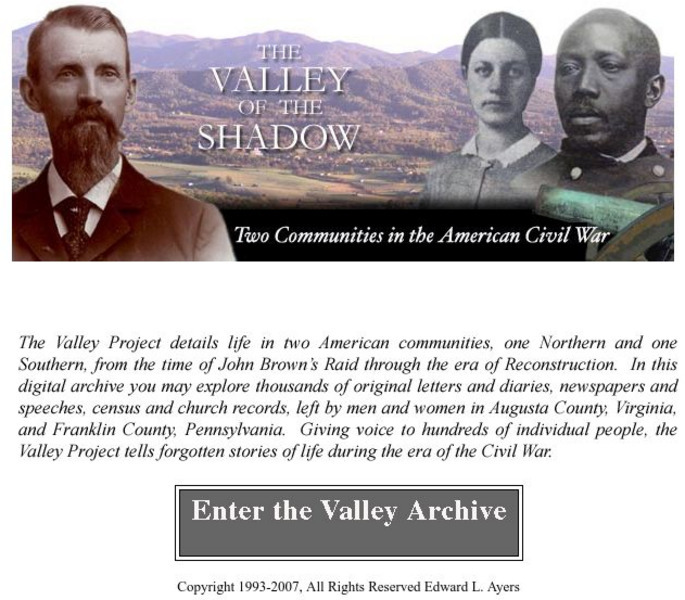
Virginia Center for Digital History: The Valley of the Shadow
This is a must-have site for the study of the Civil War. Students will have access to primary documents from many sources, including: census and veteran records, letters and diaries, newspapers, and church records. This Project explores...
University of Nebraska
University of Nebraska Lincoln: Railroads and the Making of Modern America
Jump aboard to examine the importance of railroads during the Civil War. Delve into primary source documents that show how the newly developed rail system played a strategic role in many battles and also examine the role of slave labor...
Curated OER
Educational Technology Clearinghouse: Maps Etc: The War in the East, 1863
A map showing the major battle sites in the east in 1862-1863 during the American Civil War. The map shows major cities, rivers, and the sites of Fredericksburg, Chancellorsville, Wilderness, Spottsylvania, Mount Cedar, Mechanicsville,...
Curated OER
Educational Technology Clearinghouse: Maps Etc: Vicinity of Charleston, 1861
The vicinity of Charleston, North Carolina in 1861, site of Fort Sumter and the opening battle of the American Civil War. The map shows the city of Charleston and railroads, the Union held Fort Sumter and light house at the mouth of the...
Texas State Library and Archives Commission
Texas State Library and Archives Commission: Texas Joins the Battle: Schedule of Houston and Texas Central Railway, 1879
See what cities were connected via the Houston and Central Texas Railway after the Civil War by looking at this railway schedule from November 7, 1879. This series of primary source documents details the growth of interconnectivity of...
Curated OER
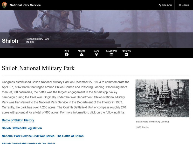
National Park Service: Shiloh National Military Park
This section of the National Park Service's site about Shiloh National Military Park gives information about the battle itself and maps of the troop movements.
Other
48th Ovvi: 48th Ohio Veteran Volunteer Infantry Regiment
A complete history of the 48th Ohio Veteran Volunteer Infantry Regiment. Find soldiers' letters, pictures of their training camp, information about the battles in which they fought, maps, and lots more. A very extensive, award-winning site.
Other
State Parks of Arkansas: Prairie Grove Battlefield State Park
Loaded with information on the Battle of Prairie Grove, this site includes a detailed description of the battle, as well as a slideshow and maps.
Library of Congress
Loc: Today in History: July 21: First Battle of Bull Run & Ernest Hemingway
Library of Congress presents historical material for the date July 21. Primary source documents including photos, letters, diaries and historical text. Looks at the First Battle of Bull Run and the author Ernest Hemingway.
Curated OER
Etc: The Civil War in the West, 1861 1865
A map of the Western seat of war during the American Civil War, showing state boundaries and capitals, major cities, forts, battle sites, mountain systems, and rivers in the area.


