Baylor College
People and Climate
Model how the sun's energy strikes the planet and help your class relate it to a climate map. Assign small groups an individual climate zone to discuss. They reflect on and research how humans survive in the assigned climate and write a...
California Academy of Science
California's Climate
The United States is a large country with many different climates. Graph and analyze temperature and rainfall data for Sacramento and Washington DC as you teach your class about the characteristics of Mediterranean climates. Discuss the...
US Environmental Protection Agency
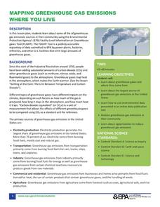
Mapping Greenhouse Gas Emissions Where You Live
After investigating the US Environmental Protection Agency's climate change website, your environmental studies students discuss greenhouse gas emissions. They use an online interactive tool to look at data from power production...
Curated OER
Exploring Biomes Lesson 1: Mapping Biomes
Environmental science learners examine satellite imagery of temperature, vegetation, precipitation, and productivity. They use these maps to understand how scientists divide the planet into major biomes. As part of a larger unit on...
Curated OER
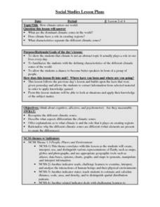
How climate enters our world
Students recognize the different climatic zones. They describe what aspects differentiate the climatic zones. Students offer explanations as to what climate is and the role that it plays on creating regions. They rationalize why the...
Space Awareness
Continental Climate and Oceanic Climate
There's nothing better than a cool breeze blowing in from the ocean. Scholars explore how water affects change in temperature using a hands-on experiment on climate. They use measurement tools to compare the continental and oceanic...
Curated OER
Exploring Arizona's Biotic Communities Lesson 1: Mapping Biotic Communities
As part of a unit on Arizona's biotic communities, young ecology learners create a map. They describe how humans and animals adapt in their habitat. They take notes and create graphic organizers from articles they read. Beautiful maps,...
Chicago Botanic Garden
Faces of Climate Change
You know global warming is real when your squirrel feeder is full of popped corn instead of kernels! Activity two in a series of five allows learners to explore climate change through the eyes of another. After briefly analyzing their...
Chicago Botanic Garden
Faces of Climate Change
How does climate change affect you? First in a three-part series, the activity focuses on how individuals living around the world are affected by climate change. Individuals take on the role of a given character and share their...
Curated OER
Water Cycle, Weather, and Climate
Eighth graders investigate the water cycle and its processes. They examine temperature and precipiation data to classify climate of ten cities. They then create a climate map of the world.
National Wildlife Federation
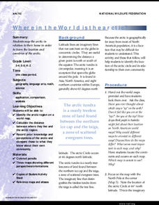
Where In the World Is the Arctic?
Exactly how far away is the Arctic? Learners use maps to orient themselves to their locations on the globe. They then make calculations to describe how their location relates to the location of the Arctic regions.
NASA
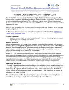
Climate Change Inquiry Lab
With global temperatures on the rise faster than ever recorded, the effects of a heating planet could be devastating. Allow learners to discover just what the world is in store for if the warming continues through a series of videos, a...
Curated OER
What in Our World Affects the Way People Live
Sixth graders study various maps that show geographical features and population. They compare the maps and make inferences about how various geographical features influence the population and human activities of an area.
Curated OER
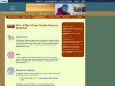
What Effect Does Climate Have on Wildlife?
Students explore the international scope of climate change. They identify variables that cause changes in the climate. Students examine how changes in climate affect the food chain.
California Academy of Science
Tropical Belt
Where in the world is the equator? Explore a world map with your class, coloring in oceans, continents, and rainforests while locating the three major lines of latitude: the equator, Tropic of Cancer, and Tropic of Capricorn. Discuss how...
Chicago Botanic Garden
Climate Change Around the World
Look at climate change around the world using graphical representations and a hands-on learning simulation specified to particular cities around the world. Using an interactive website, young scientists follow the provided directions to...
Chicago Botanic Garden
Faces of Climate Change
Sometimes, the best solution to a problem can be found by walking in someone else's shoes. Here, scholars use character cards to take on the roles of people around the world. They determine how their character's life affects our...
Curated OER
World Geography - Climate Notes
A challenging activity helps young geographers explore the temperatures around the world! They study how the Earth's land temperatures are affected by their proximity to an ocean, as well their latitude and their altitude. A very...
Center Science Education
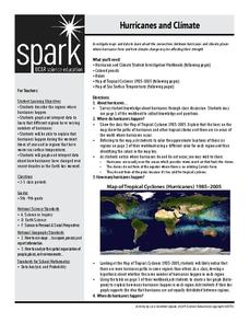
Hurricanes and Climate
Feeling under the weather? This lesson on hurricanes can whip things up! With professionally designed maps and handouts, teach your future weathermen (or women) where, when, and how hurricanes occur. They identify hurricane regions and...
NOAA
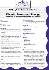
Climate, Corals and Change
Global warming isn't just an issue on land; deep ocean waters are also showing troubling signs. Young scientists learn more about deep water corals and the many recent discoveries researchers have made. Then they examine data related to...
Curated OER
Weather Versus Climate
Students research on the internet to understand the difference between weather and climate. In this weather versus climate lesson plan, students research the internet, read a climate zone map, look into the climate zones, and present...
Curated OER
Places in My World
Second graders explore where they are located on the globe. In this maps and globes lesson, 2nd graders use a map to show where they live and show the cardinal directions. Students identify characteristics of mountains, flat land,...
Curated OER
World Geography: Global Interdependence
Students are able to discuss the theory of climate change. They identify examples of how climate change impacts the earth's geo-spheres. Students are able to use the example of climate change to describe the interdependence of the...
Curated OER
Using Vegetation, Precipitation, and Surface Temperature to Study Climate Zones
Middle schoolers begin their examination of the climate zones found around the world. Using a software program, they identify the relationship between the vegetation, climate and temperatures of the different zones. They also plot...


