Other
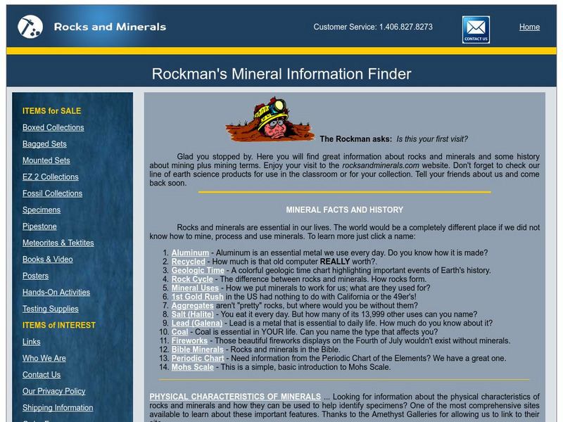
Rockmans Trading Post: Welcome to the Mineral Information Finder
During your lifetime, you will use more than a million pounds of rocks, minerals, and metals. Dig through this web site and find out how.
Curated OER
Educational Technology Clearinghouse: Maps Etc: Alaska, 1919
A map of Alaska from 1914 showing the State capital at Juneau, cities, towns, ports, railroads, submarine telegraph lines, major rivers and lakes, mountains, coastal features, and islands. The map is keyed to show gold placers, gold and...
Curated OER
Educational Technology Clearinghouse: Maps Etc: Northeast China, 1971
"Northeast China - the provinces of Heilungkiang, Kirin, and Liaoning - is the most important region of the country and a nationally significant and still-developing center of agricultural production. Most of the Northeast remained...
Curated OER
Unesco: United Kingdom: Blaenavon Industrial Landscape
The area around Blaenavon is evidence of the pre-eminence of South Wales as the world's major producer of iron and coal in the 19th century. All the necessary elements can still be seen - coal and ore mines, quarries, a primitive railway...
Curated OER
Educational Technology Clearinghouse: Maps Etc: North China, 1971
" North China includes the densely populated and intensively cultivated North China Plain, the loess-covered uplands of Shansi, northern Shensi, and eastern Kansu, and the sparsely populated, semiarid steppes of Inner Mongolia....
Curated OER
Etc: Maps Etc: Physical and Cultural Geography of the German Empire, 1915
Six maps of the German Empire showing the average rainfall, the major climate zones, metal industrial products and mining (iron, coal, silver, copper, and salt), textile industrial products (silk, wool, cotton, and linen) ethnic groups,...
Curated OER
Educational Technology Clearinghouse: Maps Etc: Industrial Sections, 1898
A map from 1898 of the United States showing the Industrial Sections of the contiguous 48 states at the time. "Owing largely to differences in surface structure, climate, and soil, the great productions of our country are confined more...
Curated OER
Etc: Maps Etc: United States Industrial Sections, 1901
A map from 1901 of the United States showing the product regions by separating the country into "(1) the Northeastern, or cloth-manufacturing section; (2) the Northern, or food-, iron-, and coal-producing, and manufacturing section; (4)...
Curated OER
Educational Technology Clearinghouse: Maps Etc: New Zealand, 1915
A map from 1915 of New Zealand showing main economic products, major cities and ports, principal railways, terrain, lakes, rivers, and coastal features. This map is color-coded to show the areas of livestock and vineyard production, and...
Curated OER
Etc: Maps Etc: Commercial Map: United States, Canada, Mexico, 1904
North American commercial activities including: major agricultural crops (barley, corn, wheat, coffee, tobacco, et cetera) and secondary agricultural crops (oranges, lumber, wine); primary mining extraction (coal, gold, silver,...
Other popular searches
- Coal Mines Pennsylvania
- West Virginia Coal Mines
- Coal Mines of Thurmond
- Pennsylvania Coal Mines
- Coal Mines in Kentucky
- Modern Marvels Coal Mines
- Modern Marvels, Coal Mines
- Coal Mines Closing
- Coal Mines Indiana


