Library of Virginia
Virginia Memory: Blank Space: Mapping the Unknown
How did early maps show the mapmakers' perception of the known world? Early mapmakers used maps drawn from coastal explorations, land travels, and even information heard word of mouth from American Indians or from colonists or traders....
BBC
Bbc News: Early Humans Followed the Coast
The theory of coastal migration of early Americans down the coast of California has been gaining much consideration. Read about some of the evidence supporting this theory.
National Humanities Center
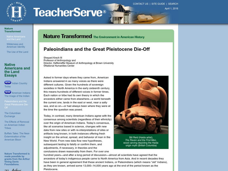
National Humanities Center: Teacher Serve: Paleoindians and the Great Pleistocene Die Off
Article discusses Paleoindian migration and animal extinction at the end of the Pleistocene era and explores what we can learn about conservation given what we know about Pleistocene climate and extinction.
Curated OER
Educational Technology Clearinghouse: Maps Etc: British Canada, 1791
A map of eastern Canada in 1791 after the American Revolution, during the formation of British North America and the division of Quebec into the largely French-speaking Lower Canada and the Loyalist Upper Canada. The map is color-coded...


