Curated OER
Quilt Squared
Learners study West Virginia quilts. In this mathematics lesson, students use symmetry, geometric shapes, and patterns to create their own quilt square.
Curated OER
Create a New Animal
Students understand what physical adaptations are and how they help an animal to survive. In this adaptations lesson, students research four animals and then make an original animal that has adaptations to make them survive.
Curated OER
They're Tilling that Field Behind the Mall
Unfortunately, the article for which this resource was written is not available. You can, however, find another current document on agriculture and urban development for your class to read together, and then still follow the suggested...
Discovery Education
Sonar & Echolocation
A well-designed, comprehensive, and attractive slide show supports direct instruction on how sonar and echolocation work. Contained within the slides are links to interactive websites and instructions for using apps on a mobile device to...
Curated OER
Places and Production
High schoolers calculate United States GDP and GDP per capita, use a choropleth map to acquire information, and create choropleth maps of GDP per capita in South America. They identify regions with high and low GDP per capita
Curated OER
Places and Production
Learners investigate the economy and the market value of goods. In this algebra lesson plan, students differentiate between domestic goods value and international good value. The define and identify the importance of GDP or Gross...
Curated OER
The Process Of Stable Growth And Development
Students investigate the economic growth of established and third world countries. They conduct research with compiling statistics taken from the OECD, The World Bank, and the IMF. The instructional activity includes notes to help the...
Curated OER
Grades 6-8 Lesson Plan - Cities as Transportation Centers
Students examine maps of the 1800's and 1900's. In this geography skills lesson, students collaborate to read core maps and identify transportation centers and travel networks.
Curated OER
Where Is Xinjinag?
Students geographically recognize the territory of Xinjiang Province by identifying the physical landscape and important cities. They see how human rights issues have affected the global, political, and economic arena in Xinjiang.
Curated OER
Critters in Your Own Backyard
Students identify various animals and their habitats, as well as their specific traits In this animal habitat lesson, students list animals they've seen in their backyard. Students select one animal and do research. Students then answer...
Curated OER
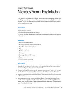
Microbes From a Hay Infusion
Students observe, over time, microbes such as amoebas, protozoa, rotifers and insect larva. They create a hay infusion culture using pond water then sample and record organisms found over a two week period.
Curated OER
Diatoms of Laboratory Indicators of Water Quality
In this science worksheet, students use the diatoms present in water in order to test water quality and perform data collection and interpretation.
Curated OER
Hurricanes
Students state and directly experience two laws of Physics (Law of Gravity, Law of Centrifugal Force) that affect weather. They explain the observations made when using the "hurricane machine" and relate them to other events and phenomenon.
Curated OER
Patterns of Settlement in Early Alabama
Fourth graders study the settlement of Alabama. They collect data from the U.S. census website and answer questions regarding settlement patterns in the counties of Alabama in 1820. They write a paagraph describing where they would have...
Curated OER
Making Sense of the Census
In this unit of lessons, students make sense of the census. They examine why a census is taken and participate in activities.
Curated OER
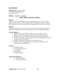
"Selling Seoul"
Students research the economy of Korea and work in a small group in order to reach decisions about aspects of the information found. They conduct class discussion about how people live in Korea and what is considered an acceptable...
Curated OER
Water Quality Monitoring
Young scholars comprehend the four parameters of water quality. They perform tests for salinity, dissolved oxygen, pH and clarity or turbidity. Students comprehend why scientists and environmental managers monitor water uality and...
Science Education Resource Center at Carleton College
Serc: Simple Population Space Usage
Using data on population, land area, and house size, young scholars will investigate how much space is used by people in Texas compared to the population of the world, and how much space would be required to give everyone in the world...
Biblioteca Virtual Miguel de Cervantes
Datos Estadisticos De Hispanoamerica
This resource has a comparison of statistical data on all Spanish-speaking countries. Countries are compared and ranked according to land mass, population, population density, annual population growth, life expectancy, infant mortality...
Curated OER
Etc: Maps Etc: Population Distribution of China, 1971
A map from 1971 showing comparative population distribution patterns of China and the United States. The map illustrates the terrain barriers to population development in China, and the trend to dense populations along the coast and...
Curated OER
Educational Technology Clearinghouse: Maps Etc: North America, Population, 1911
A map from 1911 of North America, Central America, Greenland, and the Caribbean to Puerto Rico showing the population distribution at the time. The map is color-coded to show population densities from under 2 persons per square mile to...


