Curated OER
Using a Compass
Students determine how to shoot a bearing. In this compass and orienteering lesson, students review the parts of a compass, practice how to find a bearing and work in groups to practice finding landmark bearings.
Curated OER
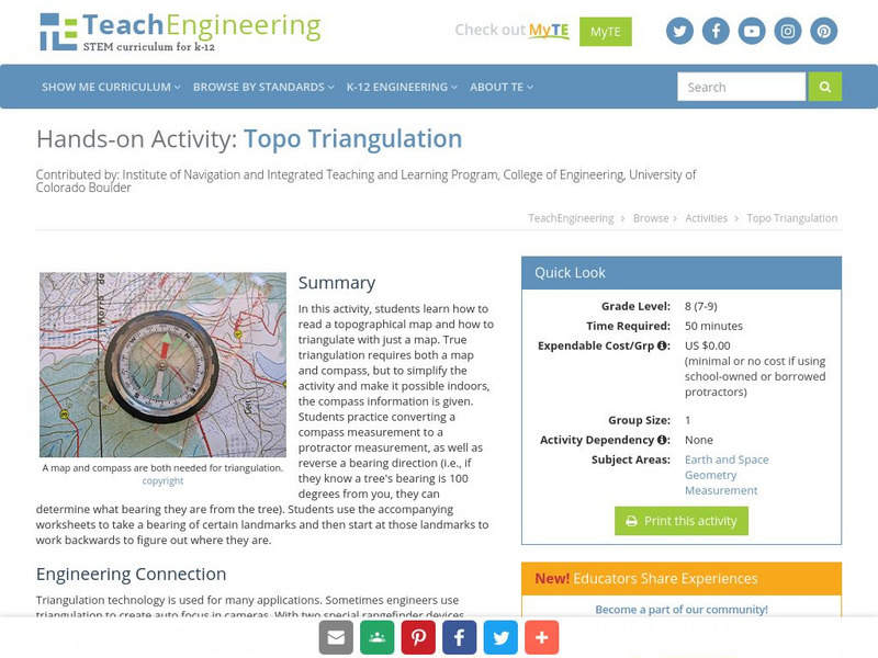
Topo Triangulation
Students investigate how to read a topographical map and triangulate with just a map. They convert a compass measurement to a protractor measurement, reverse a bearing direction, and using a worksheet take a bearing of certain landmarks...
Curated OER
Science: Reading a Compass
Students demonstrate how to take bearings using a compass. In pairs, they select objects in the classroom then write down its first initial and bearing. They exchange papers and try to disciver their partner's object.
Curated OER
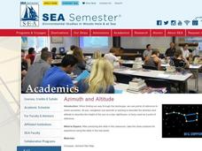
Azimuth and Altitude
Students use a compass and their hands to find positions of stars and planets in the night sky or of the sun during the day.
Curated OER
Shapes (Orienteering)
Young scholars explore the tools of navigation. In this shapes instructional activity, students navigate using direction cues to create a shape. Young scholars follow specific steps to create their shapes. Students use...
Curated OER
Orienteering
Students acquaint with co-participants and identify the practice basic compass functions and orienteering procedures. They also work together to solve a small challenge. Students then identify how the challenge of orienteering relates...
Curated OER
MAPPING THE SCHOOL FOREST
Students measure distances and directions using paces and a compass. They determine their own pace, explore how to read a compass bearing, and how to take bearings on given sites.
Curated OER
Basic Orienteering
Students study orienteering. In this science lesson, students study the parts of a compass and use the compass to set a bearing and follow the bearing on the compass.
Curated OER
The Earth's Magnetic Field
Students explain how the earth's magnetic field works and looks. They create
their own free-floating compass using the everyday materials. After constructing their compass, they test it and determine north.
Curated OER
A Sense of Location: The Mental Map
Students consider the ways a mental maps of geographic landmarks can help migrating animals stay on the correct course.
TeachEngineering
Teach Engineering: Topo Triangulation
In this activity, students will learn how to read a topographical map and how to triangulate with just a map. True triangulation requires both a map and compass, but to simplify the activity and make it possible indoors, the compass...


