Curated OER
Educational Technology Clearinghouse: Maps Etc: Cortes' March to Mexico, 1519
A map of Mexico showing the sites of the Spanish Conquistador expedition under Hernan Cortes in 1519. The map shows Juanna (Cuba), Tabasco, Vera Cruz, and Mexico City (Tenochtitlan). An inset map details the route taken by Cortez from...
Mariners' Museum and Park
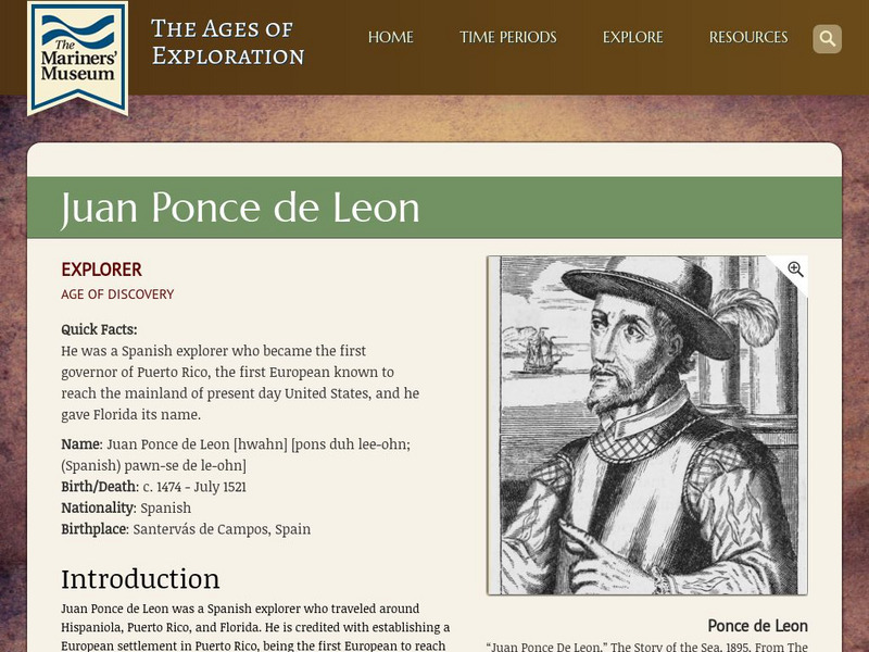
Mariners' Museum: Juan Ponce De Leon
Discover details of Ponce de Leon's expeditions in search of land for Spain in the new world. Follow the Spanish explorer's trips to present day Puerto Rico, St. Augustine, and Dry Tortugas, see a map of his journey, images featuring...
Curated OER
National Park Service: Coronado National Memorial: Coronado's Seven Cities
Read about Francisco Coronado's quest for the Seven Cities of Cibola that took him across the Southwest and into the Midwest. Included is a link to a map showing his route.
Other
World Statesman: Peru
This site is a complete encyclopedia of Peruvian leaders, beginning with the arrival of the Spanish conquistadors. Also provides detailed chronologies, flags, national anthems, maps and indexes.
Houghton Mifflin Harcourt
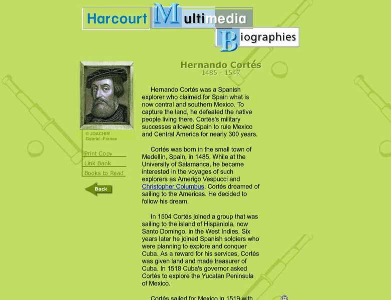
Harcourt: Biographies: Hernando Cortes 1485 1547
Furnished is a brief summary of the life and explorations of Spanish explorer, Hernando Cortes. Take a look at the photos and maps of his journey of what today is called Mexico.
National Humanities Center
National Humanities Center: Toolbox Library: The Spanish, American Beginnings: 1492 1690
Two maps and four accounts of the Spanish exploration of North America that reflect the goals of the conquistadors and fascination with the land they examined-and the brutality of their treatment of native peoples.
Walled Lake Consolidated Schools
Loon Lake Elementary School: Juan Ponce De Leon
A biography of Spanish conquistador, Juan Ponce de Leon, who sailed with Columbus, and landed on Florida. Find pictures and maps of his exploration.
Other
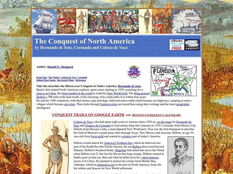
The Conquest of North America by Hernando De Soto, Coronado and Cabeza De Vaca
Describes the conquest of North America in the 1500s by the explorers Hernando de Soto, Vasquez de Coronado, and Cabeza de Vaca. The text has many embedded links to maps showing the routes they traveled as well as to additional information.
Other
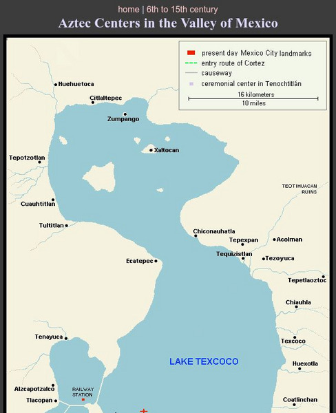
Aztec Centers in the Region of Lake Texcoco
A map of Lake Texcoco, showing the Aztec centers in the region at the time of the Spanish conquistadors. The entry route of Cortes into the city of Tenochtitlan, the Aztec capital, is designated along with causeways into the city. A few...
Curated OER
Inscription Rock, New Mexico
Two maps and four accounts of the Spanish exploration of North America that reflect the goals of the conquistadors and fascination with the land they examined-and the brutality of their treatment of native peoples.


