Other
Mama Lisa's World: Songs & Rhymes of All Nations
This resource was organized by a mother who wanted to give people a sense of the nursery rhymes and songs from around the world. Find rhymes and songs from every continent, in many languages--you can even listen to some online.
Other
Mama Lisa's World: Songs & Rhymes of All Nations
This resource was organized by a mother who wanted to give people a sense of the nursery rhymes and songs from around the world. Find rhymes and songs from every continent, in many languages; you can even listen to some online.
Curated OER
Etc: Maps Etc: Countries, Districts, and Provinces of Africa, 1914
A map of the African continent in 1914 showing the European possessions at the time.
ClassFlow
Class Flow: Continental Regions
[Free Registration/Login Required] A flipchart showing the different regions of the world: hot deserts, tundra, equatorial rainforest, Mediterranean, and also Irish landscapes. Some activities are included to present the vocabulary...
Houghton Mifflin Harcourt
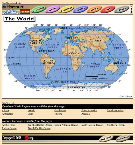
Harcourt: School Publishers: World Atlas: The World
Provides continent, country, and ocean floor maps from all over the world. Click on a continent's name to access the detailed maps which also include statistical facts on each available country.
Enchanted Learning
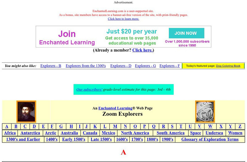
Enchanted Learning: Explorers
Do you know who Afonso de Albuquerque was? Do you know where Robert de LaSalle was from or where Jacques Cartier sailed? Enchanted Learning's A-to-Z list of explorers lets you browse through a large collection of biographical notes on...
Other
Reach the World: Geogames Build Planet Earth
Practice your mapping skills with Build Planet Earth! This animated 3D globe challenges players to locate the Poles, continents, countries, and cities. Colorful graphics and sound effects as well as a teacher's lesson plan are included.
Natural History Museum
Natural History Museum: Dino Directory
An excellent database of over three hundred dinosaurs from around the world. They are organized by country, continent, time period, and by alphabetical order, and each dinosaur has pictures and facts about it.
National Geographic
National Geographic: Places in the Park
Modeling the use of maps in and out of school can help students to recognize the value of maps and gain confidence with them. Using maps of places that are familiar to students will strengthen their spatial thinking skills before...
Curated OER
Educational Technology Clearinghouse: Maps Etc: Colonial Africa, 1904
A map of Africa shortly after the Berlin Conference of 1885, which established the European colonial territory claims on the continent. These European and independent boundaries include Algeria and the Saharan Sphere of French Influence,...
Curated OER
Etc: Maps Etc: European Possessions of Africa, 1906
A map of Africa after the Berlin Conference of 1885, which established the European colonial territory claims on the continent. This map shows the Belgian, British, French, German, Italian, Portuguese, and Spanish claims, and the Turkish...
United Nations
United Nations: Cartographic Section: The World Today [Pdf]
Here is an up-to-date political map of the world today. Very detailed with a good key.
Columbia University
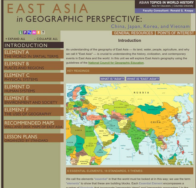
Columbia University: Asia for Educators: East Asia in Geographic Perspective
This teacher resource is devoted to teaching about the geographic history of East Asia. Includes standards information and links to related lesson plans. Also features a downloadable world map (PDF, requires Adobe Reader).
Enchanted Learning
Enchanted Learning: World Flags
Enchanted Learning features this website devoted to the study of the world's flags. There are fact sheets, illustrations, current and historical flags, and related links.
National Geographic
National Geographic: Political Borders
Lesson in which students explore the concept of borders and regions by examining culture and physical location and determine how and where borders should be placed. Lesson contains two activities with maps.
National Geographic
National Geographic: Conflict on the Danube
Lesson in which students use maps and text to explore physical and cultural boundaries and the disputes over control of them. Includes two activities with comprehensive and adaptable materials.
National Geographic
National Geographic: More Physical Geography and Borders
Lesson on the physical features that create borders and boundaries. Small group and whole class activities, background information, worksheets and assessment.
National Geographic
National Geographic: Languages and Religions of the United Kingdom and Ireland
Lesson in which students explore how language and religion have affected borders in the United Kingdom and Ireland.
National Geographic
National Geographic: More Human Geography and Borders
Lesson explores the ways in which human and cultural factors such as language and religion affect borders. Whole class and small group adaptable and interactive activities.
National Geographic
National Geographic: European Borders Through History
Lesson in which students use maps to explore how European political borders have changed over time. Maps after WWI, WWII and European Union provided for comparison.
National Geographic
National Geographic: Looking Back, Looking Forward
Lesson reviews what students have learned in the unit on European cultural and physical landscape. Students compare maps, questions and ideas from the beginning of the unit and identify new questions for research.
Georgia Department of Education
Ga Virtual Learning: Government & Politics: Comparative Citizens, Society, State
AP Government and Politics learning module explores political patterns and how they are influenced by the interactions between state and society. Comprehensive, multi-media resources.
Georgia Department of Education
Ga Virtual Learning: Ap Human Geography: Language and Religion
AP Human Geography course unit on Language and Religion compares world language, religion and looks at conflict within. Comprehensive resources, multi-media sources and interactive material.
The History Cat
The History Cat: Containing Communism
Describes how the Soviets under Stalin managed to infiltrate Eastern European countries and establish Communist governments, dividing the continent into East and West with a symbolic Iron Curtain separating the two. America scrambled to...


