Noyce Foundation
Snail Pace
Slow and steady wins the race? In the assessment task, scholars calculate the rates at which different snails travel in order to find the fastest snail. Hopefully, your class will move much more quickly in finishing the task!
Curated OER
Formulas Multiple Choice
In this formulas worksheet, students determine the distance between two points. They read story problems, identify needed information, write equations and solve them. Students find the midpoint of a line. This two-page...
Curated OER
Distance Formula
Students determine the distance between two points. For this distance formula lesson, groups of students determine the distance between points in real life situations. They calculate the distance from one point in the...
Curated OER
High and Low Tides
Students collect real world data from the Web regarding high and low tides at various locations in the United States. They find a function which models this data and make predictions on tide levels based on the information found.
Curated OER
Location, Location, Location: Using a Grid to Determine Context
Seventh graders are introduced to making inferences about artifacts. Using a grid system, they locate the artifacts and determine where they originated from. They use this information to make conclusions about the way people lived...
Curated OER
Arrays Hooray
Second graders write and solve story problems which involve whole numbers, using addition, subtraction, multiplication, or division. They solve multiplication problems by using strategies other than counting all. They interpret and solve...
Curated OER
Deer Tracks
Students use satellite images to track to movement patterns of deer and examine deer behavior. They write stories about a day in the life of a field scientist.
Curated OER
Understanding Hurricanes and the ER-2
Students study hurricanes; in particular, what they look like, how they are formed, how they are categorized, how they are named, and how they are tracked. They examine the science of hurricanes as well as the mathematics of hurricanes.
Curated OER
Graphing Ordered Pairs
In this math worksheet, students learn to graph ordered pairs. Students examine a graph with 3 labeled points and tell the ordered pairs for each. Students also plot 8 ordered pairs on a graph they draw themselves.
Curated OER
Heritage: Make a Model of a Typical Utah Settlement
Fourth graders examine the different types of settlements used in Utah. They take a community map of Utah past and present and compare the two. They create a model of the early types of settlements used by pioneers in Utah.
Curated OER
Vectors
Students use both magnitude and direction to locate a place. They use locating techniques to make a temperature field of their classroom.
PBS
Pbs Learning Media: Using a Coordinate Grid
In this Cyberchase video segment, the CyberSquad must locate each other using a map's grid to construct a coordinate system using letters and numbers.
Khan Academy
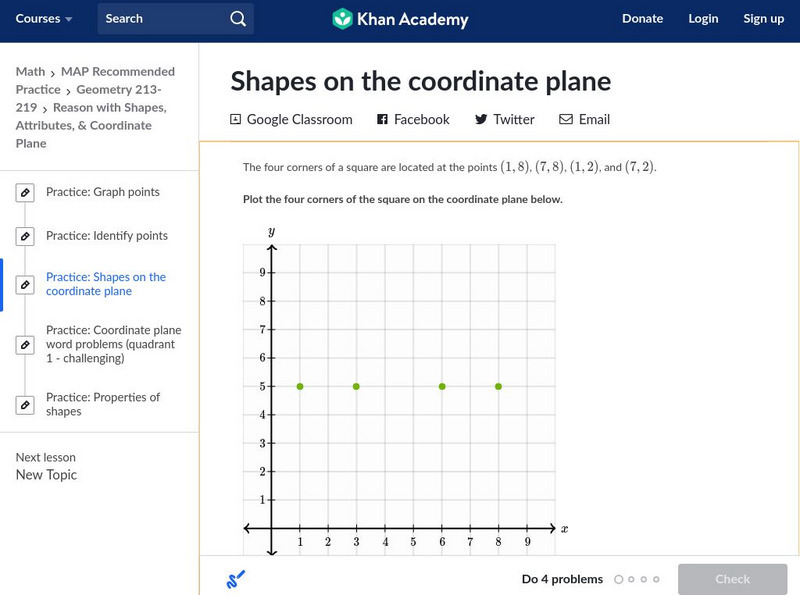
Khan Academy: Shapes on the Coordinate Plane
In this exercise, students practice identifying shapes on the coordinate plane. Students receive immediate feedback and have the opportunity to get hints and try questions repeatedly.
Alabama Learning Exchange
Alex: Introduction to the Cartesian Coordinate Plane
This lesson consists of two PowerPoint presentations that use animation (motion) to demonstrate how to obtain a 1-1 mapping between a plane and ordered pairs of Real numbers. These can be teacher presented or if you have enough PCs...
Texas Instruments
Texas Instruments: Navigating the Usa With the Coordinate Plane
The students will be plotting points on the United States Map. This background and activity could be used and/or modified to fit any social studies class. Students could explore topics ranging from graphing coordinates in pre-algebra to...
E-learning for Kids
E Learning for Kids: Math: World of Fish: Position on a Map
Students will play an interactive game to interpret simple maps by describing position, plotting points with coordinates, and drawing and following a path.
E-learning for Kids
E Learning for Kids: Math: Dinosaurs: Angles and Position on a Map
Students will play learning games to practice moving on a coodinate plane.
Texas Instruments
Texas Instruments: Mapping a Leaf
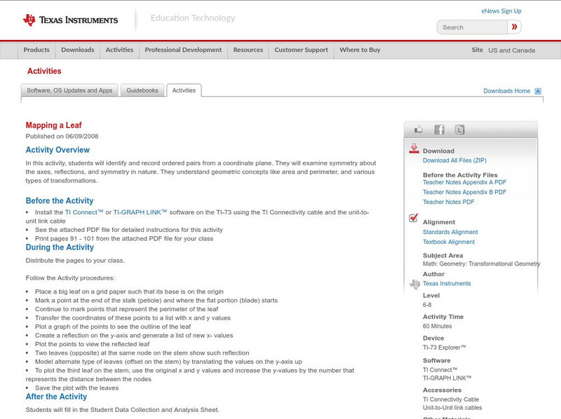
In this activity, students will identify and record ordered pairs from a coordinate plane. They will examine symmetry about the axes, reflections, and symmetry in nature. They understand geometric concepts like area and perimeter, and...
Rice University
Rice University: Cynthia Lanius: Mathematics of Cartography: Coordinate System
A coordinate system such as latitude/longitude is an example of absolute location. Links to Greenwich/Prime Meridian.
US Geological Survey
U.s. Geological Survey: Teaching About and Using Coordinate Systems [Pdf]
Provides lessons and activities for teaching about the different types of coordinate systems including the Cartesian coordinate system, the Geographic Coordinate System, the Universal Transverse Mercator grid, and the State Plane...
CK-12 Foundation
Ck 12: Algebra: Coordinate Locations on a Map
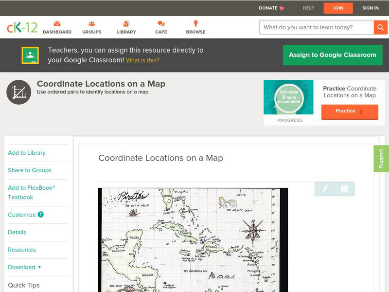
[Free Registration/Login may be required to access all resource tools.] Find points on a map using integer coordinates.
Texas Instruments
Texas Instruments: Getting Started With the Ti Navigator: Equations of My Road
This lesson introduces students to the use of a map of an area, a neighborhood, a favorite city, or an amusement park, to determine the slope of a specific road. Students will find the slope of a line using a coordinate plane.
Harvard University
Harvard University: Maps and Mapping
This site is provided for by Harvard University. Students follow a map on a scavenger hunt, create a map of their classroom and their town, learn how to read topographic maps, and discover latitude and longitude in these inquiry activities.
Rice University
Rice University: Cynthia Lanius: Mathematics of Cartography: What Are Maps?
Defines what maps are and provides illustrations and related links to a site devoted to cartography.


