Khan Academy
Khan Academy: Determine Rotations
Given a figure on the coordinate plane and a center of a rotation, find the angle for the rotation that maps one figure to the other. Students receive immediate feedback and have the opportunity to try questions repeatedly, watch a...
SMART Technologies
Smart: Latitude and Longitude
Try to locate famous landmarks using latitude and longitude coordinates in this interactive classroom activity.
University of Cambridge
University of Cambridge: Nrich: Treasure Island
See if you can find what the ordered pairs are for each of the items on the map. This one page website will help you practice plotting points on the grid. You can check the answers right on the website.
E-learning for Kids
E Learning for Kids: Math: Riksjas, Toek Toek: Position
Students will play an interactive game to explore maps, routes, and locations of objects.
E-learning for Kids
E Learning for Kids: Math: World of Fish: Position and Directions
Meet Calypso the fish and go to the underwater world to learn more about position on maps.
Texas Instruments
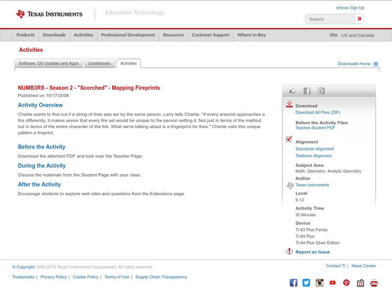
Texas Instruments: Numb3 Rs: Mapping Fireprints
Based off of the hit television show NUMB3RS, this diverse lesson has students perform linear regression analysis (to compare two fire variables), check three-dimensional points using a planar equation, and evaluate points to determine...
Texas Instruments
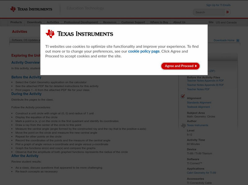
Texas Instruments: Exploring the Unit Circle
In this activity, students explore the properties of a unit circle and its mapping functions.
Khan Academy
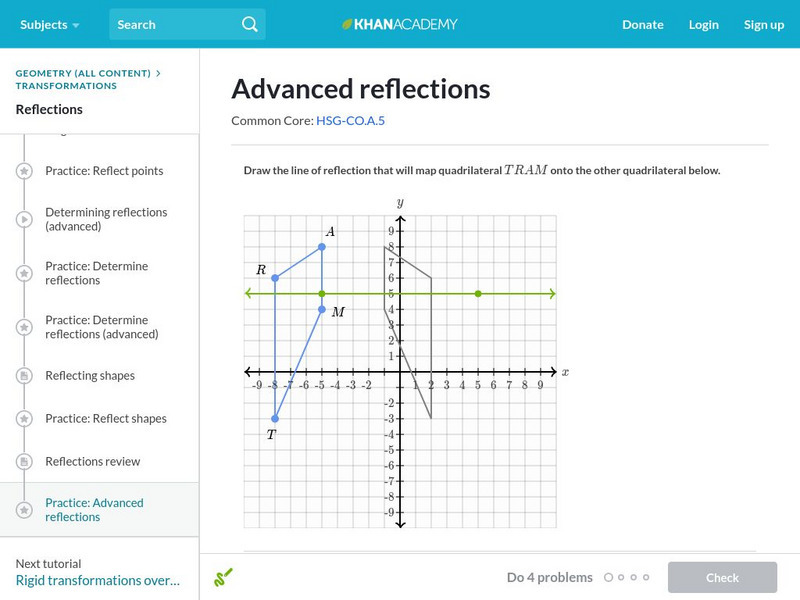
Khan Academy: Advanced Reflections
Find the reflection that maps a given figure to another and draw the image of a reflection. The lines of reflection in this exercise have a wide range of slopes. Students receive immediate feedback and have the opportunity to try...
TeachEngineering
Teach Engineering: Hurricane! Saving Lives With Reasoning & Computer Science
Students develop and apply the distance formula and an x-y coordinate plane on a hurricane tracking map, and then use a map scale to determine distance in miles. Then, using MATLAB computer science programming language, students help...
Texas A&M University
Wtamu Virtual Math Lab: Intermediate Algebra
This site is a tutorial for students in algebra 2 or for those who need a refresher. The site has explanations, definitions, examples, practice problems and practice tests are found covering topics such as linear equations, graphing,...
E-learning for Kids
E Learning for Kids: Math: World of Fish: Space
Join Otto at the Phantasia construction site. Will you help him build a new playground?
Texas Instruments
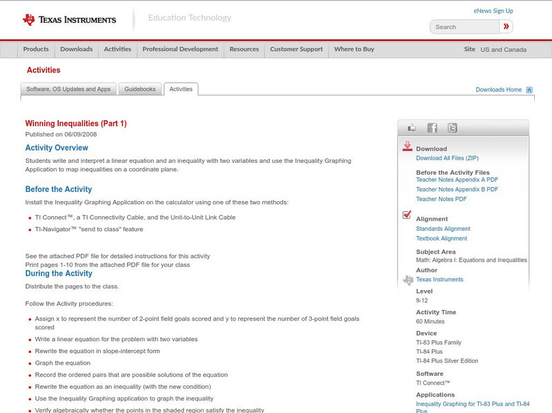
Texas Instruments: Winning Inequalities (Part 1)
Students write and interpret a linear equation and an inequality with two variables and use the Inequality Graphing Application to map inequalities on a coordinate plane.
Khan Academy
Khan Academy: Congruence and Transformations
Given a pair of figures in the coordinate plane, try to map one onto the other and determine whether they are congruent. Includes examples of glide reflections. Students receive immediate feedback and have the opportunity to try...
Khan Academy
Khan Academy: Determine Rotations
Given a figure on the coordinate plane and a center of a rotation, find the angle for the rotation that maps one figure to the other.
Massachusetts Institute of Technology
Mit: Open Course Ware: Courses: Modern Navigation
College-level planetary science course highlighting modern navigation. Course introduces the concepts and applications of navigation techniques using celestial bodies and satellite positioning systems (GPS). Course features include...


