Curated OER
Thanks for Your Service
Students thank their freedom fighters. In this Veteran's Day lesson, students honor members of the U.S. Armed Forces by designing a program to pay tribute to them. Students use technology tools to conduct interviews, take pictures, and...
Curated OER
Virus and Bacteriophage
Students examine the differences between a virus and a bacteriophage. They explore various websites, identify the parts of a virus and a bacteriophage, and construct a model of a virus or bacteriophage.
Curated OER
Listen Up! Swinging with some Big Band Music
Young scholars read about the music and life of Glenn Miller. They listen to Miller's "Jeep Jockey Jump" and analyze the piece for instrumentation, formal structure and stylistic characteristics.
Curated OER
Swing Your Partner! It's A Virtual Square Dance
Students explore the Wessels Living History Farm website and research how to do a square dance. They read a story, listen to an explanation of barn dances, and participate in various square dances.
Curated OER
Physics Park
Students research and design a playground for a park or school in their community. They explore the physics concepts that are present in the design and, if applicable promote their ideas to city or school officials.
Curated OER
China
Sixth graders become more aware of how land features, climate, and vegtation affect civilization. Students are divided into groups and research one of China's regions. They make a relief of their designated area.
Curated OER
Deep Blue: Exploring the Deep Ocean
Learners examine landforms. In this social studies lesson, students bounce a beach ball around in order to discover that seventy percent of the Earth is covered in water. Learners
Curated OER
Fictional Narrative Writing in Mathematics
Fifth graders discuss variety of fictional writing genres and connect each to familiar story that has been read, use creative and analytical skills to develop original piece of fictional writing that incorporates math skill, and share...
Curated OER
Location, Location, Location: Using a Grid to Determine Context
Seventh graders are introduced to making inferences about artifacts. Using a grid system, they locate the artifacts and determine where they originated from. They use this information to make conclusions about the way people lived...
Curated OER
Lesson Design Archaeology
Learners participate in their own excavation and measure and record as they go. In this archaeology lesson students divide into groups and solve the mystery of what they uncovered in their dig box.
Curated OER
New Hampshire and the Five Themes of Geography
Students explore the location, place, human-environmental interactions, movement, and regions of the New Hampshire landscape through the use of visual representations.
Curated OER
Arrays Hooray
Second graders write and solve story problems which involve whole numbers, using addition, subtraction, multiplication, or division. They solve multiplication problems by using strategies other than counting all. They interpret and solve...
Curated OER
Heritage: Make a Model of a Typical Utah Settlement
Fourth graders examine the different types of settlements used in Utah. They take a community map of Utah past and present and compare the two. They create a model of the early types of settlements used by pioneers in Utah.
Curated OER
Vectors
Students use both magnitude and direction to locate a place. They use locating techniques to make a temperature field of their classroom.
Curated OER
Why Archaeologists Dig Square Holes
Students examine how archaeologists establish and maintain the context of artifacts. They interpret a plan view of an archaeological site and explain the importance of the grid system.
Curated OER
Hardships of the Maine-land
Fifth graders examine the design of the Maine quarter reverse and identify the objects depicted. They compare the settlement at Popham, Maine with that at Jamestown, Virginia.They write journal entries and draw pictures about the Maine...
Curated OER
Bryant Creek Watershed Project - Making a Karst Dictionary
Young scholars explore the definitions relevant to Karst topography. They develop a Bryant Watershed Dictionary of the special words and terms that are used to talk about the topography and hydrology of the area they live in.
Curated OER
Hurricanes-Disasters In the Making
Sixth graders discover the proper methods for plotting hurricanes while developing their understanding of hurricanes by researching and gathering tracking data from technological sources. Students develop a newsletter about hurricanes,...
CK-12 Foundation
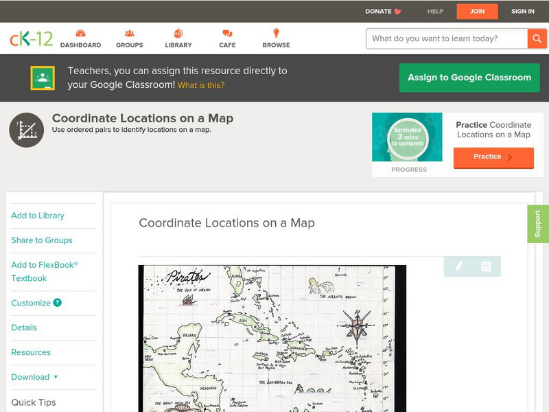
Ck 12: Algebra: Coordinate Locations on a Map
[Free Registration/Login may be required to access all resource tools.] Find points on a map using integer coordinates.
E-learning for Kids
E Learning for Kids: Math: World of Fish: Position on a Map
Students will play an interactive game to interpret simple maps by describing position, plotting points with coordinates, and drawing and following a path.
E-learning for Kids
E Learning for Kids: Math: Bus Station: Position on a Map
Help Jamal read maps, describe directions, and identify coordinates in this series of interactive exercises.
E-learning for Kids
E Learning for Kids: Math: Dinosaurs: Angles and Position on a Map
Students will play learning games to practice moving on a coodinate plane.


