Curated OER
Coordinate Grid: Mapping Archeological Sites
Fourth graders discover how to apply the Cartesian coordinate system by figuring out the length and width of their school playground. They determine that pacing is an important tool for the initial mapping of a site. Students conduct a...
Curated OER
MAP MAGNETIC FIELD OF A ROOM
Students map the magnetic field of a room (classroom or room at home -- recommend kitchen) at two or more heights. They create a coordinate grid within the room and make a relatively accurate map of the room to super impose the...
Curated OER
Grid it, Map it
Students participate in designing a city layout using grids and coordinates. They work on a city space and create a grid on a life size layout on the gym floor.
Curated OER
Coordinate Graphs
Students use coordinate graphs in order to identify objects and their locations. They are shown how to plot the x and y coordinates and then are given values to be plotted during guided and independent practice. Students are assessed on...
Curated OER
Mapping with a Compass: A Simulated Survey
Students use compasses and grids to map the locations of artifacts found in a simulated dig site. In groups, they role-play as future archeologists excavating a school site. Groups begin at their assigned datum and site the artifacts...
Curated OER
Earth on the Earth
Fourth graders plot points on a graph and transfer those coordinates onto a large scale model resulting in an outline of the Western Hemisphere. They identify the major geographical landforms of the Western Hemisphere.
Curated OER
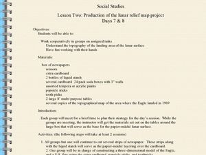
Production of the Lunar Relief Map Project
Students replicate the lunar surface. In this mapping skills lesson plan, students study the topography of the moon. Students then use craft materials to create topographic maps of the lunar surface where the Eagle landed.
Curated OER
Using Star Charts and Maps
Students study star charts and describe locations of objects. In this scientific models lesson plan students use coordinates and identify characteristics.
Curated OER
Hands On: Plot Points on a Coordinate Grid
In this solving coordinate grid word problem worksheet, students plot points, order pairs, identify horizontal and vertical lines, and find distances to solve problems. Students solve six problems.
Curated OER
Rubber Duckies and Ocean Currents
Students explore marine life by conducting a rubber duck experiment. In this water currents lesson, students practice identifying latitude and longitude coordinates on a map and define the currents of major oceans. Students discuss the...
Curated OER
Locating IIT Using Ordered Pairs
Students investigate ordered pairs. In this math lesson, students plot and locate ordered pairs in a coordinate plane and are exposed to how to read and create a map.
Curated OER
Integer: Tic-Tac-Toe Four In a Row!
Students explore the concept of the coordinate plane. In this coordinate plane lesson, students discuss integers and their place on the number line. Students discuss locating points on the coordinate plane. Students play tic-tac-toe by...
Curated OER
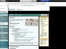
Grids
Take your study of coordinates online! Groups of students complete an online graphing introduction, plotting the points of virtual objects. A worksheet is included for extra practice.
Curated OER
Go West With Columbus
Young scholars play a board game where their tokens must move Columbus west. They choose cards which give commands to move in a coordinate direction. They practice moving west, north, east, south by playing the game.
Curated OER
What's Your Temperature?
Learners take a look at the local newspaper and focus on the weather section. They get into small groups, and each one looks at the same map, but of a different part of the country. They must prepare a presentation that shows how...
National Center for Case Study Teaching in Science
Mask of the Black God
Finally, an astronomy lesson for the high schooler! Explorers are able to read star maps for finding objects in the night sky by determining celestial coordinates. In particular, they locate the Pleiades and read about a Navajo legend...
Scholastic
Volleyball Road Trip
Review coordinate mapping with your young geographers by matching cities on a volleyball team's road trip itinerary to their appropriate coordinate locations.
Polar Trec
The Amazing Antarctic Trek
This resource provides two ways to engage learners in using latitude, longitude, and research skills. In pairs, or on their own, learners will locate several Antarctic regions on a map. They will write the name of the place and a few key...
Shakespeare in American Life
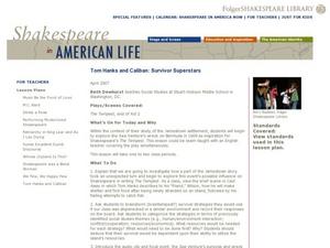
Tom Hanks and Caliban: Survivor Superstars
Here’s a clever way to combine language arts and social studies. Shakespeare’s The Tempest is believed to have been inspired by the wreck of the Sea Venture on Bermuda in 1609. The class views a brief scene from Castaway in which Tom...
Teach Engineering
Searching for Bigfoot and Others Like Him
Individuals create a GIS data layer in Google Earth that displays information about where one might find seven different cryptids. The class members research to find data on cryptid sightings they can include in their data...
Flipped Math
Rotations
Turn the class around. Scholars define rotations of multiples of 90 degrees and create algebraic mappings for them. After an introduction to symmetry, pupils determine which letters of the alphabet have rotational and reflectional...
EngageNY
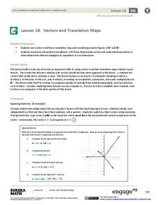
Vectors and Translation Maps
Discover the connection between vectors and translations. Through the lesson, learners see the strong relationship between vectors, matrices, and translations. Their inquiries begin in the two-dimensional plane and then progress to the...
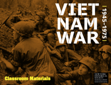
New York Historical Society
The Vietnam War: 1945-1975
Do pupils know that the Vietnam War spanned a period of 30 years? A war that long is bound to leave devastating effects. Help young historians develop a comprehensive understanding of the war through multiple units on the subject that...
Corbett Maths
Enlargements with Fractional Scale Factors
Enlargements make it bigger, right? A video shows viewers how to perform a basic dilation with a fractional scale factor. They learn how to use the scale factor to find the location of the transformed vertex by multiplying the horizontal...


