Other
Copper Development Association
This organization supports the promotion and expansion of the global copper industry through its efforts in developing markets, engineering, and providing information. Also provides educational resources.
PBS
Pbs Learning Media: Primary Source: Boomtimes: 20th Century Mining Mojave Desert
This collection uses primary sources to explore twentieth-century mining in the Mojave Desert.
Science Education Resource Center at Carleton College
Serc: Bot Ec: Percentage of Copper in Ore
Suppose that you are building a new house. It will take about 90 kg (198 pounds) of copper to do the electrical wiring. In order to get the copper in the first place, someone needs to mine solid rock that contains copper, extract the...
Curated OER
Wikipedia: Natl Historic Landmarks in Utah: Bingham Canyon Open Pit Copper Mine
The world's first and largest open-pit copper mine, Bingham Canyon was opened in 1904.
Other
Coppertown Museum: Coppertown Usa
On this page you will find general information about copper and the history of copper mining in Michigan.
Curated OER
Web Gallery of Art: The Copper Mine
An image of "The Copper Mine", created by Herri Met De Bles, c. 1540 (Oil on wood, 83 x 114 cm).
OpenStax
Open Stax: Making a Living in Gold and Cattle
In this section, students will learn about the major discoveries and developments in western gold, silver, and copper mining in the mid-nineteenth century. They will be able to explain why the cattle industry was paramount to the...
Northern Arizona University
Northern Arizona University: Forty Years at the Grand Canyon
Site features the life of Bert Lauzon (1911-1951 CE) who spent his working life in the National Park Service at the Grand Canyon. Wonderful historic photos chronicle the early days in Arizona.
Canadian Museum of Nature
Canadian Museum of Nature: Columbian Mammoth of Babine Lake
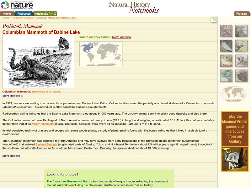
The finding of a Columbian Mammoth skeleton in a British Columbia copper mine is discussed here.
Curated OER
Unesco: United Kingdom: Cornwall and West Devon Mining Landscape
Much of the landscape of Cornwall and West Devon was transformed in the 18th and early 19th centuries as a result of the rapid growth of pioneering copper and tin mining. Its deep underground mines, engine houses, foundries, new towns,...
Curated OER
Unesco: Sweden: Mining Area of the Great Copper Mountain in Falun
The enormous mining excavation known as the Great Pit at Falun is the most striking feature of a landscape that illustrates the activity of copper production in this region since at least the 13th century. The 17th-century planned town...
Curated OER
Wikipedia: National Historic Landmarks in Alaska: Kennecott Mines
Site of discovery of copper in 1900 and subsequent mining activities.
University of California
Univ. Of California, Davis: Chapter 4: The Bronze Age
Use this site to learn about how bronze was made and how bronze, and its numerous uses, aided in the advancement of many groups of people. This detailed article adresses bronze use in China, Egypt, and the Mediterranean region. Site by...
Curated OER
Educational Technology Clearinghouse: Maps Etc: Alaska, 1919
A map of Alaska from 1914 showing the State capital at Juneau, cities, towns, ports, railroads, submarine telegraph lines, major rivers and lakes, mountains, coastal features, and islands. The map is keyed to show gold placers, gold and...
Curated OER
Wikipedia: National Historic Landmarks in Arizona: Jerome Historic District
Copper mining town.
Other
Minerals Education Coalition: Minerals Database
This resource provides photographs of and information about various minerals.
Virtual Museum of Canada
Virtual Museum of Canada: Community Stories: The Silver King From Discovery to Community
The founding and history of Nelson, B.C. is profiled. The discovery of rich mineral deposits led to a rush and the quick expansion and development of Nelson as well as a lasting impact on the entire area. Archival photographs and...
Curated OER
Educational Technology Clearinghouse: Maps Etc: Arizona, 1904
A map of Arizona from 1904. "Arizona was organized as a territory in 1863. Area, 112,290 square miles; population, 122,212. Of these 26,480 are Indians. About one-third of the white population are foreign born. Chiefly a mining Territory...
Curated OER
Educational Technology Clearinghouse: Maps Etc: Montana, 1904
A map from 1904 of Montana showing the capital of Helena, major cities and towns, railroads, rivers, and mountains. The boundaries of Yellowstone National Park, primarily in Wyoming, are shown. "Montana was organized as a Territory in...
Curated OER
Etc: Maps Etc: United States Economic Regions, 1900
A map from 1912 of the United States showing the principal industries of the region. The map is color-coded to show the areas of fishing grounds, industrial centers, coal mining areas, petroleum fields, and iron ore fields. This map...
Curated OER
Educational Technology Clearinghouse: Maps Etc: California, 1904
A map of California from 1904 showing the State capital of Sacramento, major cities and towns, railroads, mountain systems, lakes, rivers, and coastal features. "California, first settlement made in 1769 by the Spaniards. Gold was...
Curated OER
Educational Technology Clearinghouse: Maps Etc: Northeast China, 1971
"Northeast China - the provinces of Heilungkiang, Kirin, and Liaoning - is the most important region of the country and a nationally significant and still-developing center of agricultural production. Most of the Northeast remained...
Curated OER
Etc: Maps Etc: Physical and Cultural Geography of the German Empire, 1915
Six maps of the German Empire showing the average rainfall, the major climate zones, metal industrial products and mining (iron, coal, silver, copper, and salt), textile industrial products (silk, wool, cotton, and linen) ethnic groups,...
Curated OER
Educational Technology Clearinghouse: Maps Etc: Idaho, 1904
A map from 1904 of Idaho showing the capital of Boise City, counties, towns, railroads, mountain systems, lakes, and rivers. "Idaho was created as a Territory in 1863. Admitted to statehood in 1890. Gold discovered in 1860. Area, 84,290...


