Nations Online Project
Nations Online
This portal site offers quick access to a wide range of information about each country, continent and region of the world.
PBS
Pbs Learning Media: South America Interactive Map
This interactive map explores the continent and countries of South America. Through political, physical, population, and climate map layers and individual country views, learn about the boundaries that define the continent's 12 sovereign...
Geographyiq
Geography Iq
Detailed geographical information on any country is available at this site. Within the World Map section, you can get facts and figures about each country's geography, demographics, government, political system, flags, historical and...
Smithsonian Institution
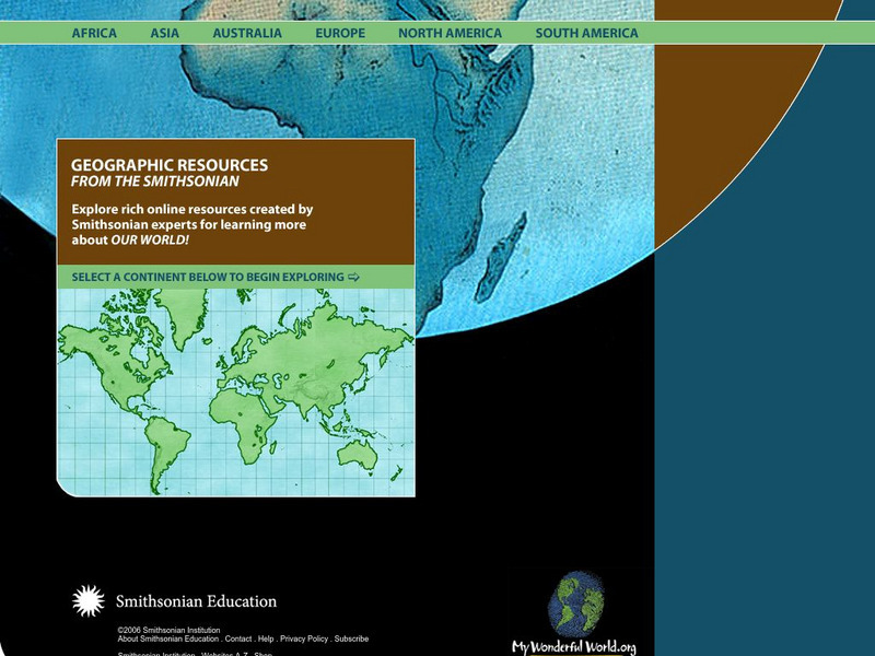
Smithsonian Education: My Wonderful World
Interactive map of the world in which students select a continent and begin exploring using online resources from the Smithsonian Institute.
InterKnowledge Corp.
Geographia
This resource offers images and descriptions of cultural landmarks, natural features, and cultural information of many foreign countries.
Other
Project Visa
A comprehensive internet resource guide to visa and embassy information for all countries around the world. Search by region or view the entire country list. Links to other travel, visa, and immigration sites.
Science Struck
Science Struck: The Number of Countries in the World
Discusses the disagreement over the exact number of countries in the world, although it is generally agreed that the number is just under 200. A list of 196 is presented here, organized alphabetically for each continent, along with their...
Science Struck
Science Struck: Hottest Country in the World
Discusses countries that have recorded the hottest temperatures and the one with the highest average temperature. Also lists the hottest countries for each continent and the hottest locations on Earth.
Mocomi & Anibrain Digital Technologies
Mocomi: Asia Continent : Facts and Information
Interesting facts and details about Asia, the largest and most diverse continent.
Other
Kids World Travel Guide: Continent Facts
Provides interesting and fun facts on the continents of the world.
Science Struck
Science Struck: Top 12 Coldest Countries in the World
Provides brief descriptions of the twelve coldest countries in the world.
ClassFlow
Class Flow: Continents
[Free Registration/Login Required] This flipchart identifies the 7 continents of the world and reviews with Activotes.
Ducksters
Ducksters: Kid's Games: Guess the Country
Guess the world country from a number of clues in this online game.
ABCya
Ab Cya: World Bingo
World Bingo is a great way for children and adults to test their knowledge on the different countries of the world! With questions ranging from things like capitals, flags, and landmarks, you're bound to learn something new!
Other
Canton Public Library: Countries
This public library resource allows users to access sites on the web devoted to geography topics for all ages.
Other
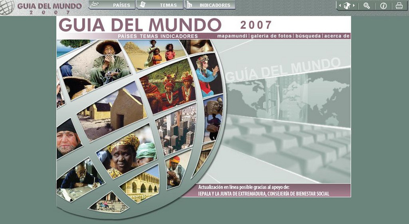
Guia Del Mundo
A valuable resource to help students find information about countries. It also provides an interactive atlas.
Nations Online Project
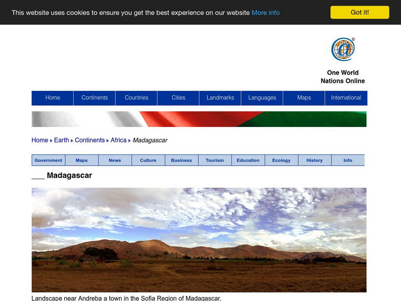
Nations Online: Madagascar
Offers an excellent online resource and country profile of the Southern African island of Madagascar, background overview, and numerous links to comprehensive information on the island's culture, history, geography, economy, environment,...
Enchanted Learning
Enchanted Learning: Explorers
Do you know who Afonso de Albuquerque was? Do you know where Robert de LaSalle was from or where Jacques Cartier sailed? Enchanted Learning's A-to-Z list of explorers lets you browse through a large collection of biographical notes on...
National Geographic
National Geographic: Places in the Park
Modeling the use of maps in and out of school can help young scholars to recognize the value of maps and gain confidence with them. Using maps of places that are familiar to students will strengthen their spatial thinking skills before...
World InfoZone
World Info Zone
Detailed, comprehensive information on countries and people all over the world. Great tool for discovering facts on world issues, seeing photos, and just exploring the world in general. Also includes quizzes based on the website's content.
University of Texas at Austin
Perry Castaneda Library Map Collection
Maps from all over the world can be printed from this site. Find historical maps of the world; thematic maps; and world, continent, country, state, and county maps for your use.
Other
Nation Master
A vast quantity of data has been collected here for comparing countries on, as the site says, 'just about anything.' There are over 300 countries, as well as over 40 groupings of countries based on their commonalities. There are...
Colorado State University
Colorado State University Libraries: Garst Collection: Animal Geography
Interactive map for discovering which animals live on which continent.
National Geographic
National Geographic: My Wonderful World: World Wall Maps (Pdf)
Make your own full color or black and white mosaic wall map on your own printer. World maps, continents, Asian regions, and oceans are available for downloading, printing, and assembling.


