Ducksters
Ducksters: Geography for Kids: Argentina
Investigate the history, capital, flag, climate, terrain, people, economy, and population of Argentina on this website.
Ducksters
Ducksters: Geography for Kids: Brazil
On this website, the history, capital, flag, climate, terrain, people, economy, and population of Brazil is discussed.
Geographyiq
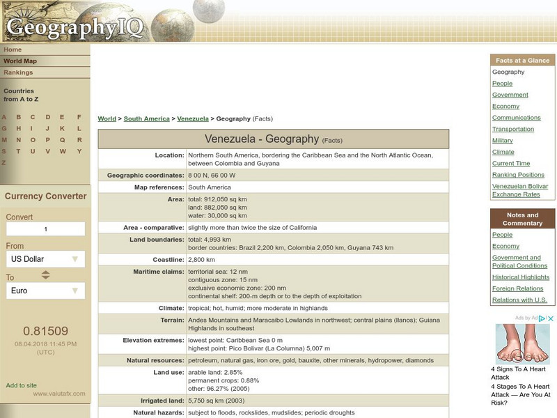
Geography Iq: Venezuela Geography
Provides a "Facts at a Glance" chart covering topics dealing with geography in Venezuela.
Geographyiq
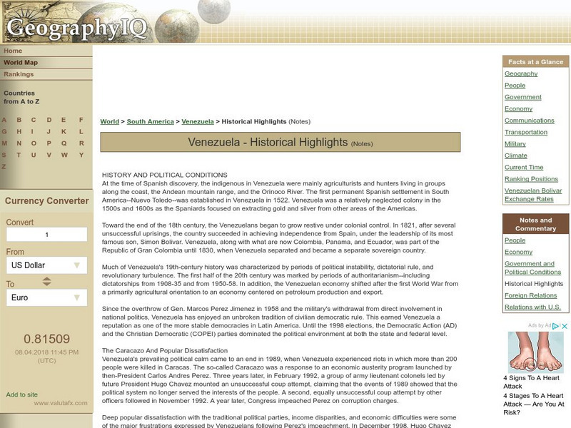
Geography Iq: Venezuela Historical Highlights
Examines highlights of the political conditions and history of Venezuela from the first colony established in 1522 to the election of 2004.
Geographyiq
Geography Iq: Uruguay Economy
Presents an overview of the economy in Uruguay with additional statistical information concerning GDP, poverty rate, labor force, household income, debt, currency, and more.
Curated OER
Unesco: China: Kaiping Diaolou and Villages
Kaiping Diaolou and Villages feature the Diaolou, multi-storeyed defensive village houses in Kaiping, which display a complex and flamboyant fusion of Chinese and Western structural and decorative forms. They reflect the significant role...
Curated OER
Unesco: Mexico: Historic Town of Guanajuato and Adjacent Mines
Founded by the Spanish in the early 16th century, Guanajuato became the world's leading silver-extraction centre in the 18th century. This past can be seen in its 'subterranean streets' and the 'Boca del Inferno', a mineshaft that...
Curated OER
Science Kids: Science Images: Peru Flag
The national flag of Peru, a country located on the western side of South America.
Curated OER
Science Kids: Science Images: Uruguay Flag
The national flag of Uruguay, a country located in South America.
Curated OER
Science Kids: Science Images: Venezuela Flag
The national flag of Venezuela, a country located at the northern end of South America.
Curated OER
Educational Technology Clearinghouse: Maps Etc: Oregon Controversy, 1792 1846
A map of the Oregon Territory between the time of exploration by George Vancouver (1792) and the Oregon Treaty of 1846. The map is color-coded to show the disputed claims of the British and United States, the Russian American line of...
Digital History
Digital History: Early Industrialization
Advances in technology affected manufacturing in the North and farming in the South. Read about how America turned from a country where most products were made in the home to an economic power that used factory production.
Curated OER
Peru
Take a virtual tour to the beautiful country of Peru and gather much information along the way. Click on the map to begin your journey.360 degree Quicktime movies of major destinations are featured. A great travel resource.


