E-learning for Kids
E Learning for Kids: Math: Eiffel Tower: Time, Area and Measurement
Take a tour of the Eiffel Tower with Marie-Clare and measure its area. Read and interpret time and look at cross-sections of 3D figures.
Maths Challenge
Maths challenge.net: Shaded Cross
Find the area of this tilted cross with your geometry skills.
Mayflower History
Mayflower history.com: Inside the Mayflower
Presents maps showing the layout of the Mayflower and explains the vocabulary used and what happened in each area of the ship.
TeachEngineering
Teach Engineering: Load It Up!
Students take a hands-on look at the design of bridge piers (columns). First they brainstorm types of loads that might affect a Colorado bridge. Then they determine the maximum possible load for that scenario, and calculate the...
TeachEngineering
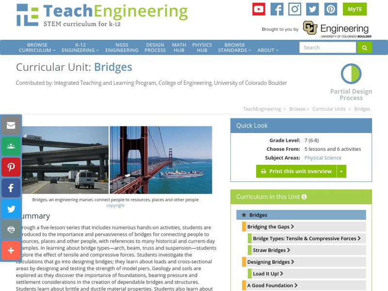
Teach Engineering: Bridges
Through a five-lesson series that includes numerous hands-on activities, students are introduced to the importance and pervasiveness of bridges for connecting people to resources, places and other people, with references to many...
CK-12 Foundation
Ck 12: Fourth Grade Science: Earth Science: Relative Ages of Rocks
[Free Registration/Login may be required to access all resource tools.] Looks at how stratigraphy can be used to determine the relative ages of rocks, how unconformities occur, ways to match rock layers in different areas, and how...
Science Education Resource Center at Carleton College
Serc: An Investigation Into Geologic Mapping: Quarry Park
In this geology field lab, students will map an area around Quarry 12 and Quarry 13 in Quarry Park. Using a field notebook, students will take field observations to later produce a basic geologic map, topographic map, and a...
Physics Aviary
Physics Aviary: Resistance of a Wire
This lab is designed to have students investigate the factors that affect the resistance of a wire. Students will be able to adjust the length of the wire, the diameter of the wire and the material from which the wire is constructed....
Incorporated Research Institutions for Seismology
Iris: New Madrid: Find the Faults Using Seismic Data
Raw seismic data gives us information about the ground beneath us. This interactive cross section shows faults beneath the New Madrid area.
Alabama Learning Exchange
Alex: How Old Is That Tree?
One of the best ways to learn about a tree is to look at its annual rings. Tree rings show patterns of change in the tree's life as well as changes in the area where it grows. For this lesson, students will trace environmental changes...
TeachEngineering
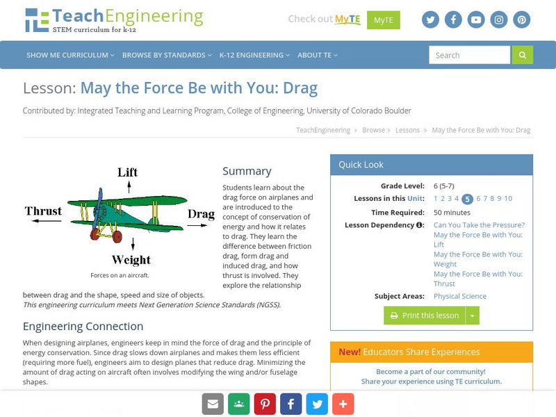
Teach Engineering: May the Force Be With You: Drag
This lesson explores the drag force on airplanes. The students will be introduced to the concept of conservation of energy and how it relates to drag. Students will explore the relationship between drag and the shape, speed and size of...
Curated OER
Educational Technology Clearinghouse: Maps Etc: Panama Canal, 1912
A map from 1912 of the Panama Canal showing the line of the canal, areas of navigable water, and areas of shallow water that have less depth than the canal. This map also shows the location of cities, dams, the Panama Railroad, and the...
Curated OER
Educational Technology Clearinghouse: Maps Etc: North America, Vegetation, 1911
A map from 1911 of North America, Central America, Greenland, and the Caribbean to Puerto Rico showing the areas of primary vegetation types for the region. The map is color-coded to show areas of forests, areas of woodland, grass, and...
Curated OER
Educational Technology Clearinghouse: Maps Etc: Drawing North America, 1872
A map exercise from 1872 for drawing North America. The map shows the general outline of the coasts, major waters and rivers, and a vertical profile cross-section of the continent from the San Francisco Bay area to Cape Hatteras....
Curated OER
Educational Technology Clearinghouse: Maps Etc: Pre Colonial Africa, 1872
A map of Africa showing the continent prior to the Berlin Conference of 1885, when the most powerful countries in Europe at the time convened to make their territorial claims on Africa and establish their colonial borders at the start of...
Curated OER
Etc: Maps Etc: Physical, Political, and Economic Asia, 1872
A map of Asia from 1872, showing physical features including mountain systems, deserts, lakes, rivers with direction of flow, coastal features, and ocean currents, political boundaries and foreign possessions at the time, and commercial...
Curated OER
Educational Technology Clearinghouse: Maps Etc: Panama Canal, 1906
A vertical cross-section chart from 1906 of the Panama Canal showing elevation and the location of locks. "The canal extends from a six-fathom line in Colon harbor on the Atlantic to a six-fathom line off Panama on the Pacific. The first...


