Curated OER
Earth's Land and Water
Learners describe physical characteristics of bodies of water and landforms. For this land and water lesson plan, students model land and water with modeling clay and also discuss why people live near bodies of water.
Curated OER
Rock Cycle
Third graders identify various types of landforms of the United States. They discuss earth movements that produce geologic structures and landforms and define cycle as it relates to rocks and soil. They demonstrate the processes forming...
Curated OER
Discovering the Local Community
Third graders create a mini-atlas of the human and physical characteristics of their local community, which includes landforms, climate, vegetation, population, and economics. They use nonfiction map-related resources to obtain ...
Curated OER
Plate Tectonics
Young scholars examine plate tectonics and landforms. In this plate tectonics lesson students complete an activity. Young scholars practice drawing maps that show different fault lines and the land formations that were caused.
Curated OER
Island formation
Students explain what an island is, and distinguish islands from similar landforms. They compare and contrast the different ways in which islands are formed.
Curated OER
Gilligan's Island
Students investigate topographical maps and match actual landforms to them. In this topographical maps lesson students create "Gilligan's Island" to scale then answer questions about it such as what the highest elevations is and what...
Curated OER
Mexico Geography
Fifth graders identify landforms, clothing, climate, transportation, vegetation, housing, and language through observation of pictures and group discussion.
Curated OER
Weather in the USA
Students identify the different types of weather conditions that occur in the United States. They discover how to adapt to weather and explain forecast and warning signals.
Curated OER
Where, Oh Where
Students use maps to explore several traditional regions of Native Americans. They research information on the regions' climate, resources, landforms, flora and fauna.
Curated OER
Delta, Delta, Where is the Delta?
Students explore several images of Earth from space. They identify parts of deltas. They observe, label, and measure delta images, taken from space. They consider how deltas form and why they differ in shape.
Curated OER
A Trip Around the World
Students role play the role of a travel agent. In groups, they must plan a trip around the world making stops in a different biome. They use the internet to discover the characteristics of each biome and create a travel brochure for...
Curated OER
Rosie's Walk
Students use maps and globes to locate and describe locations, directions and scale. Using the maps, they identify man made or natural features of different environments. They practice using geographical terms to describe a specific...
Curated OER
Landform Dictionary
Third graders use a word processing program to create a working dictionary, including definitions and pictures, of physical land forms used in the study of different regions of the world.
Curated OER
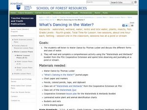
What's Dancing in the Water?
Students learn about watershed, as well as the different forms and uses of water. In this water forms lesson, students brainstorm water sources and uses. Students read the book Water Dance and discuss water examples. Students complete a...
Curated OER
Settlement Survival
Students fill out worksheets about the landforms and developments needed to form settlements like when the colonists settled. In this settlement lesson plan, students learn about how different land formations played a key role in where a...
Curated OER
Settlement Patterns of the United States
Students examine the conditions that affected the way people settled in the United States. Using maps, they examine the topography and climate of different locations and determine the factors that do and do not allow settlement to occur....
Curated OER
The Water Cycle: A Repeating Pattern in Nature
Students are introduced to the terms related to the water cycle in their native language. In groups, they describe the steps of the cycle using different materials found in their art classroom. They describe how energy helps water...
Curated OER
Deep Ocean Currents
Students observe the interactions of different temperatures of water using colored ice and a thermometer and then compare the results with global ocean current solar heating. They identify where floating ice would be found in the ocean,...
Curated OER
Introduction to Topographic Maps
Tenth graders create a topographic map and see how it represents different elevations. In this topographic maps instructional activity students read and interpret topographic maps.
Curated OER
Los Trenes de Espa¿¿a
High schoolers identify and read correctly the symbols of a Spanish train schedule. Using maps, they identify and locate major cities and landforms of Spain and practice using a twenty-four hour clock. Using the internet, they navigate...
Curated OER
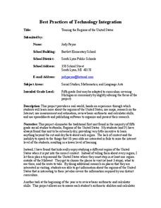
Touring the Regions of the United States
Fifth graders explore the regions of the United States. In this geography skills lesson, 5th graders examine the landforms, climates, and economies of the regions of the United States. Students conduct Internet research in order to...
Curated OER
Go Glacier Go!
Students create a model of a glacier and observe how it moves. In this landforms lesson, students learn what a glacier is, build a model glacier and observe how it moves in a manner that more closely resembles a liquid than a solid.
Curated OER
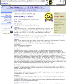
Salt Relief Map of Virginia
Fourth graders create a salt relief map of the four regions of Virginia. They indentify land forms and bodies of water, and summarize how they made their project.
Curated OER
What You Can Learn From a Map
Students discover how to interpret maps. In this geography skills lesson plan, students explore geographic themes as they complete worksheet activities regarding road maps, shaded relief maps, and topographic maps.


