Curated OER
Information Safari
Pupils go to the library and research animals using features in the text to help them organize information. In this locating information lesson plan, students complete this task in teams.
Curated OER
Eye Spy
Fourth graders examine how the human eye receives and transmits light from the environment. Through an activity, the students will discuss the importance of sight in our everyday lives.
Curated OER
Who IS That Woman?
Learners participate in a jigsaw reading activity about the contributions of Sacagawea to the Corps of Discovery. They also write a poem to reflect upon what they studied.
Curated OER
Seeing Sound and Sonar
Young scholars grasp how underwater animals can "see" using sound waves. They practice making inferences, and build a conceptual understanding of sonar radar.
Curated OER
Going to Extremes
Students recognize that our ability to explore the extremes of the ocean is directly related to the technology of remote sensing. Students will recognize the deep submergence vehicle, Alvin, and the advanced sensors on board as tools for...
Curated OER
Change & Conservation of City Landscape
Seventh graders participate in fieldwork by observing and photographing buildings.
Curated OER
Using the Internet Effectively: An Introduction
Students participate in a simulation activity to visualize what the Internet is and how it works. In groups, students work as information seekers, computers or messengers to simulate how computers work. After the simulation, students...
Curated OER
Oregon City: A Convergence of Endings
Students describe the activities that occurred in the Willamette Valley before the establishment of the Oregon Trail and agricultural settlement and explain the impact that American settlement had on the landscape and native groups who...
Curated OER
Count Down
Students are introduced to useing websites as a data source. Using bird population predictions, they test their predictions from various websites. They record, organize and graph the data and share their results with the class.
Curated OER
Environment: The Haves and the Have Nots
Students examine consumption habits in developed and developing countries and determine their effects on natural resources. In groups, they assess graphs on the Living Planet Report and observe the connection between consumption and...
PBS
Pbs Learning Media: Earth's Systems: Map It
Explore different types of maps and how different things are represented on maps in this media gallery from WGBH. Maps are used to help locate different places and different things. Map symbols are representations of larger things in the...
Mocomi & Anibrain Digital Technologies
Mocomi: Types of Maps
Details on the different types of maps, scale, and symbols.
National Endowment for the Humanities
Neh: Edsit Ement: Mapping Our Worlds
In this lesson, introduce your young scholars to the world of maps and discover a world of information online. Students learn how to identify different types of maps, comparing maps to the rooms of a house.
Read Works
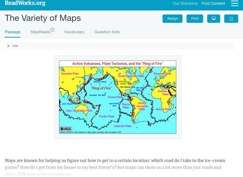
Read Works: The Variety of Maps
[Free Registration/Login Required] An informational text about many different types of maps and the people who make them. A question sheet is available to help students build skills in reading comprehension.
Other
Relief Web: Countries
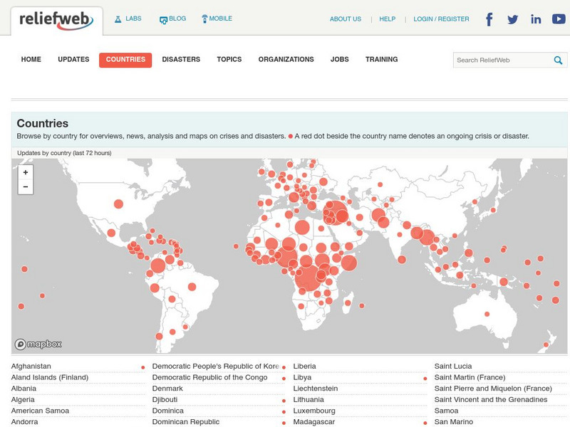
This resource provides information on countries throughout the world, current news, and different types of maps.
National Geographic
National Geographic: Mapping Marine Ecosystems
Marine ecosystems are examined in this lesson. Students identify examples of different types and locate them on a world map. Includes handouts, website links, and a vocabulary list with definitions.


