Other
Trail of Tears Assoc: The Story Trail of Tears National Historic Trail
Follow the early history of Native American and European contact in America. As more settlers moved west, a law was passed to relocate the Cherokee from Arkansas. The routes they followed and the cruelties they suffered came to be known...
Other
Simon Frasier University: A Journey to a New Land
This interactive site examines questions about early human migration to North America offers grade-level appropriate information for primary, elementary, middle, secondary and post-secondary levels. Teacher resources, simulations, video,...
Discovering Lewis & Clark
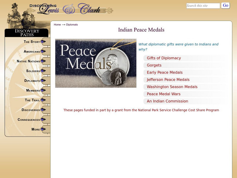
Discovering Lewis & Clark: Peace Medals
Discover the history of awarding peace medals to Indian chiefs. Lewis and Clark carried at least eighty-nine peace medals in five different sizes to be given out on their expedition in the early 1800s.
Discovering Lewis & Clark
Discovering Lewis & Clark: Blackbird Hill, Nebraska
Read William Clark's journal entry concerning the event that took place early on the morning of August 11, 1804, when Lewis and Clark visited the grave of Blackbird, one of the great leaders of the Omaha Nation.
Other
The Woodland/ Algonquian Tribes Before 1500 (Map)
A Map of the geographic regions of the various Native American tribes in northeastern North America.
Alabama Learning Exchange
Alex: Extra, Extra!! Mary Rowlandson's Captivity Newscast
This lesson will be an interdisciplinary lesson that involves both English Language Arts and Social Studies (History). The lesson will be primarily technology-based and also project-based that will have the students performing historical...
Curated OER
Etc: Maps Etc: The Location of the Eastern Indian Tribes, 1600s
A map from 1911 of eastern North America showing the general areas of early contact between the Native Americans and European settlers. The map is divided by groups (Algonquians, Iroquoians, Siouans, and Muskhogeans) and the principal...
Curated OER
Etc: Native American Delimitations, 1763 1770
A map of the American colonies and territories west to the Mississippi River between the end of the French and Indian War of 1763 and the beginnings of westward expansion of the trans-Appalachian colony proposed in the Vandalia Project...
Other
Pre Contact Culture Areas (Map)
This excellent map shows where different tribes were before first contact, links to related information.
Nebraska Studies
Nebraska Studies: Pedro De Villasur Sent to Nebraska
Concern over the French trading with the Native Indians, the Spanish commissioned Lieutenant-General Villasur to stop them in 1720.
Wikimedia
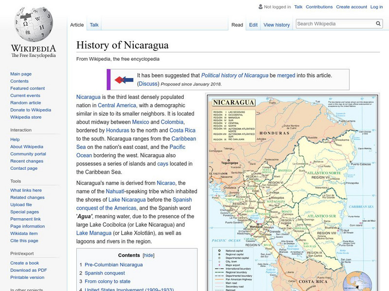
Wikipedia: History of Nicaragua
Delve into the rich history of this Central American country. Learn much about Nicaragua's early explorations, the Somozas, and America's involvement in the country.
Ducksters
Ducksters: Oklahoma State History for Kids
Students learn about the history and timeline of the state of Oklahoma including early explorers, Native Americans, Indian Territory, Trail of Tears, Land Rush, and pioneers on this site.
Internet History Sourcebooks Project
Fordham University: Modern History Sourcebook
A rich Fordham University site of primary source material that include full-text, and multimedia sites. There are additional study and research guides such as Modern History in the Movies.
Library of Congress
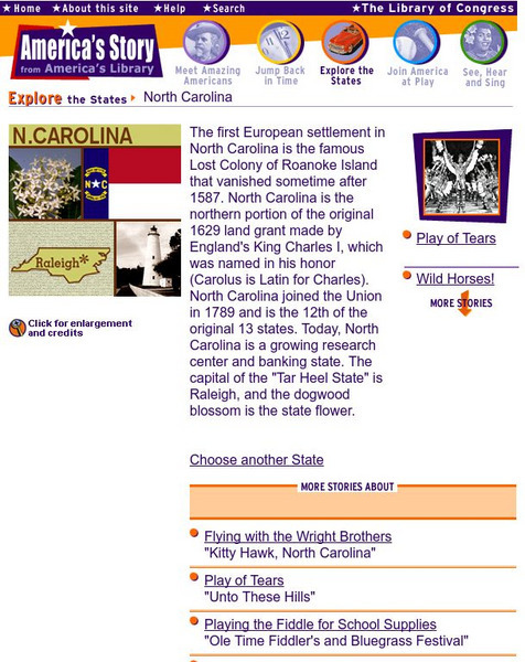
Loc: America's Story: North Carolina
Help discover more about "the story of the lost colony of Roanoke Island." Why did the Wright Brothers fly at Kitty Hawk? Learn more about North Carolina from the Library of Congress website.
Curated OER
Hesquiaht Woman From the Central Nootka Tribe, British Columbia, 1916
View aspects of the history of the aboriginal peoples of Canada through photographs. Culture, ways of life, and struggles can be examined in this database of primary source images (most from the late nineteenth and early twentieth century).
Curated OER
Photograph of an Aboriginal Man Standing in a Graveyard, Fort Qu
View aspects of the history of the aboriginal peoples of Canada through photographs. Culture, ways of life, and struggles can be examined in this database of primary source images (most from the late nineteenth and early twentieth century).
Curated OER
Man, Kneeling, in Traditional Clothing Portraying a 17th Century Aboriginal Man
View aspects of the history of the aboriginal peoples of Canada through photographs. Culture, ways of life, and struggles can be examined in this database of primary source images (most from the late nineteenth and early twentieth century).
Curated OER
Photograph of a Man Paddling a Kayak Off the Coast of Greenland, 1889
View aspects of the history of the aboriginal peoples of Canada through photographs. Culture, ways of life, and struggles can be examined in this database of primary source images (most from the late nineteenth and early twentieth century).
The History Cat
The History Cat: Us History: Louisiana Purchase
Covers two topics related to the growth of the new United States - the Louisiana Purchase and the settling of the Great Plains. How the Louisiana Purchase came about as a result of a decision by Napoleon is explained. The Great Plains...
Curated OER
Etc: Maps Etc: British Possessions in North America, 1775
A map showing the British possessions in North America in 1775, before the outbreak of hostilities during the American Revolutionary War. The map shows the boundaries of the British Colonies along the Atlantic, the Proclamation Line of...
Curated OER
Caption Below
A few maps and some good text on the topography and its importance during both the American Revolution and the French and Indian War.
Curated OER
Caption Below
A few maps and some good text on the topography and its importance during both the American Revolution and the French and Indian War.
Curated OER
Caption Below
A few maps and some good text on the topography and its importance during both the American Revolution and the French and Indian War.
Curated OER
Caption Below
A few maps and some good text on the topography and its importance during both the American Revolution and the French and Indian War.


