National Humanities Center
National Humanities Center: Toolbox Library: Hardships, American Beginnings: 1492 1690
Three English, a French, and a Spanish primary account of the staggering losses, misery, and deprivation that characterized early European settlement as well as the resilience needed to overcome those challenges.
University of South Florida
Exploring Florida: Jean Ribault Claims Florida for France
Find out about the early French settlements in Florida and South Carolina and the Spanish treatment of the settlers there. The site map will take you to many other articles about Florida history.
Texas A&M University
Sons of De Witt Colony Texas: Gutierrez De Lara: In Nuevo Santander
Jose Gutierrez de Lara, the first governor of Mexican Texas, was determined to free Mexico from Spain. Read about the early Texas settlement of Nuevo Santander, and how it was settled by Spanish American colonists.
Annenberg Foundation
Annenberg Learner: America's History in the Making: Colonial Designs [Pdf]
Scroll down through this unit for teacher facilitators to Appendix E and F to find maps of colonial settlement in eastern North America in 1600 and 1660. From Oregon Public Broadcasting.
Library of Congress
Loc: Exploring the Early Americas: Competition for Empire
Part of a larger site, the primary sources here deal with the competition among the European countries in establishing a foothold in the New World.
National Humanities Center
National Humanities Center: Toolbox Library: Go Ahead, American Beginnings: 1492 1690
A Spanish, an English, and a French account of the enormous challenges in maintaining a colonial presence in North America and of the potential national loss-of pride, wealth, and possibility for expansion-if nations abandoned these...
University of Groningen
American History: Outlines: The First Europeans
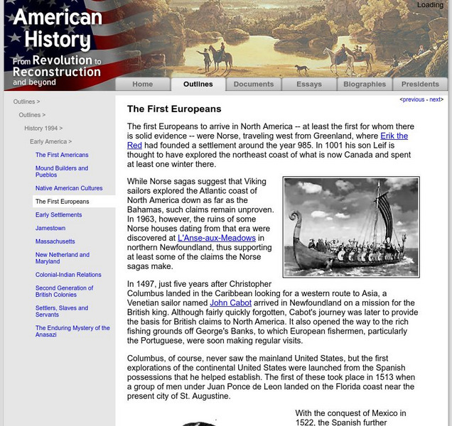
The first Europeans to arrive in North America -- at least the first for whom there is solid evidence -- were Norse, traveling west from Greenland, where Erik the Red had founded a settlement around the year 985. In 1001 his son Leif is...
Curated OER
Spanish Fort of San Agustin, 1589
A Spanish, an English, and a French account of the enormous challenges in maintaining a colonial presence in North America and of the potential national loss-of pride, wealth, and possibility for expansion-if nations abandoned these...
Annenberg Foundation
Annenberg Learner: United States History Map: Colonists
Use these interactive maps to see and read about the colonization of the New World by several European nations. When you are finished looking at the maps, test your skills with the European Colonies Challenge.
Curated OER
Etc: Attempts at Huguenot Settlements in Florida, 1562 1565
A map of the southern Atlantic coastline showing the early attempts by the French Huguenots under Jean Ribault to establish settlements in the Spanish territory of Florida. The map shows the sites of Charles Fort (Charlesfort) South...
Curated OER
Etc: Development of Early Carolina, 1663 1732
A map showing the development of the Carolinas from the land grant of Charles II in 1663 to the establishment of the Province of Georgia by charter in 1732. The map shows the area of Carolina as established by the Patent of 1665...
Curated OER
Educational Technology Clearinghouse: Maps Etc: The Early United States, 1790
A map of the United States in 1790 showing the territorial claims of the states at the time, and the British and Spanish possessions and territory disputes. The map shows the frontier lines or extent of settlement from the coast of Maine...
Curated OER
Etc: Maps Etc: Early Possessions in Eastern North America, 1740
A map of eastern North America, Gulf of Mexico, and western Caribbean showing the European possessions and territorial claims in the region in 1740. The map is color-coded to show the French, Spanish, and British possessions at the time....
Curated OER
Insula Hyspana, 1494
Numerous visual images of artifacts from English settlements at Jamestown and at Plymouth, and from Spanish settlement in Hispaniola, and three original accounts of each of those early settlements that describe the possibilities and the...
Curated OER
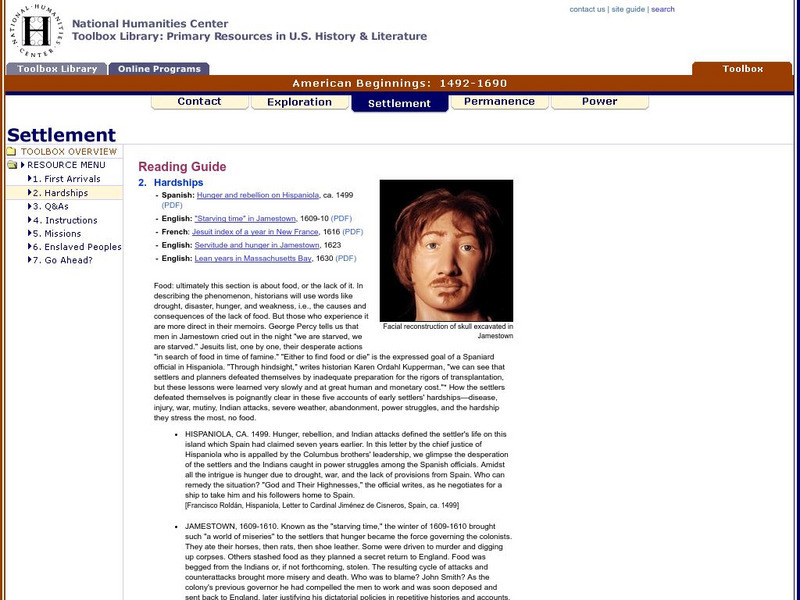
Facial Reconstruction of Skull Excavated in Jamestown
Three English, a French, and a Spanish primary account of the staggering losses, misery, and deprivation that characterized early European settlement as well as the resilience needed to overcome those challenges.
Colonial Williamsburg Foundation
Colonial Williamsburg: Numismatics: Coins and Currency in Colonial America
Valuable lessons in the history of Europeans' early exploration and settlement of America can be gained by following the money used in trade. Coins and Currency exhibition lets you examine evidence of Spanish, British, Dutch, French, and...
Curated OER
Usf: Jean Ribault Claims Florida for France
Find out about the early French settlements in Florida and South Carolina and the Spanish treatment of the settlers there. The site map will take you to many other articles about Florida history.
Curated OER
Educational Technology Clearinghouse: Maps Etc: Georgia Projected, 1732
A map of the coastal Carolinas, and part of the newly formed Georgia Colony, or Province of Georgia, in 1732. The map shows the earlier settlements of the Albemarle Sound (1653), Port Royal (1670), Charleston (1680), and the settlement...
Curated OER
Etc: The Territory of the Present Us During the French Indian Wars, 1755 1763
A map of North America showing the foreign possessions in the area of the present United States during the French and Indian Wars (1755-1763) between the French and English. This map is color-coded to show territorial claims at the time...
Curated OER
Educational Technology Clearinghouse: Maps Etc: The United States, 1800
A map of the United States in 1800 showing the territorial claims of the states at the time, the British and French possessions, and territory disputes. The map shows the frontier lines or extent of settlement from the coast of Maine to...
Curated OER
Educational Technology Clearinghouse: Maps Etc: Intercolonial Wars, 1689 1713
A map of eastern colonial North America showing the struggle for supremacy between England, France, and Spain in the region, from the King William's War (1689-1692) to Queen Anne's War (1702-1713), a period also known as the...
Curated OER
Etc: Maps Etc: British Possessions in North America, 1765
A map showing the British possessions in North America in 1765 after the French and Indian War, as defined by the Treaty of 1763, Proclamation of 1763, and the Royal Orders of 1764-1767. The map shows the British Colonies on the...
Curated OER
Etc: Colonies During the French and Indian Wars , 1754 1763
A map of eastern North America at the time of the French and Indian War (1754-1763). The map is color-coded to show the possessions of the British, French, and Spanish at the time. The map shows the British colony boundaries, major...
Curated OER
Etc: Maps Etc: Land Claims of the Thirteen Original States, 1783
A map of eastern North America showing the land claims of the original thirteen states after the American Revolutionary War, from the Atlantic coast to the Mississippi River, as well as the boundaries of the British and Spanish...


![Annenberg Learner: America's History in the Making: Colonial Designs [Pdf] Graphic Annenberg Learner: America's History in the Making: Colonial Designs [Pdf] Graphic](https://d15y2dacu3jp90.cloudfront.net/images/attachment_defaults/resource/large/FPO-knovation.png)


