Science Education Resource Center at Carleton College
Serc: Sea Ice Extension for the Earth as a System Learning Activity
The purpose of this lesson is for students to learn how the Earth's systems interact on a global level. They will examine global environmental data and compare this to data on the polar regions. In the process, they will develop an...
NOAA
Noaa: Weather Systems and Patterns
Imagine our weather if Earth were completely motionless, had a flat dry landscape and an un-tilted axis. This, of course, is not the case; if it were, the weather would be much different. The local weather that impacts our daily lives...
Other
Digital Library for Earth System Education: Teaching Box: Essentials of Weather
A suite of lessons focusing on the basic elements of climate and weather. Inquiry-based exploration of extreme weather events and the factors of weather including clouds, wind, air pressure, temperature, and the water cycle.
Other
Space Applications Centre: Geographical Information System Concepts
The introduction of this article explains why GIS data is so critical to a government being able to plan for natural resources development and management. The article goes on to explain key geographic concepts, what GIS is and why it...
American Geosciences Institute
American Geosciences Institute: Earth Science Week: Analyzing Hurricanes Using Web and Desktop Gis
In this activity, students research hurricane data to discover their behavior and patterns. They map them across decades to see whether their frequency is increasing. They study Hurricane Andrew and investigate the relationship between...
NASA
Nasa: Global Wind Patterns
This site from NASA lists and defines global wind patterns. It features a graphic of these patterns and a self-test with answers.
Read Works
Read Works: Weather: Air Patterns
[Free Registration/Login Required] An informational text about wind patterns and how they relate to clouds, storms, and lightning. A question sheet is available to help students build skills in reading comprehension.
CK-12 Foundation
Ck 12: Earth Science: Local Winds
[Free Registration/Login may be required to access all resource tools.] Descriptions of various types of local wind patterns.
American Geosciences Institute
American Geosciences Institute: Earth Science Week: Mapping Quake Risk
Students use GIS to observe worldwide patterns of earthquakes and volcanoes and analyze the relationships of those patterns to tectonic plate boundaries. Then they identify cities at risk.
The Wonder of Science
The Wonder of Science: Ms Ess1 1: Earth Sun Moon System
Develop and use a model of the earth-sun-moon system to describe the cyclic patterns of lunar phases, eclipses of the sun and moon, and seasons.
PBS
Pbs Learning Media: Global Weather Machine
In this illustrated essay from NOVA Online, explore the cyclical process of weather creation and the effects of El Nino on the global weather system.
Center for Educational Technologies
Cet: Exploring the Environment: Drought
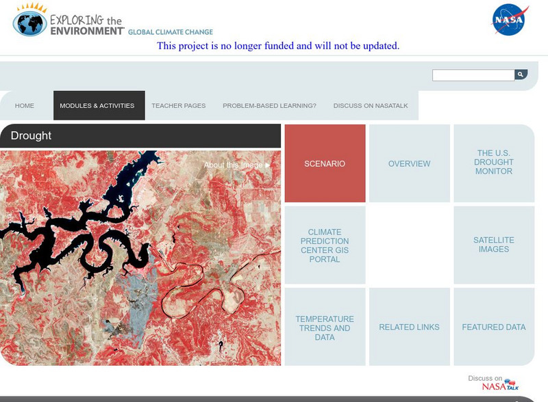
The U.S. National Park Service has asked students to advise it whether the drought that greatly impacted the Midwest and Southwest is a consequence of global climate change or just an abnormal weather pattern. In either case, they will...
Idaho State University
Global Wind Systems [Pdf]
A great description of the global scale circulation and heat energy. Discusses a single-cell model, a three-cell model, jet streams and more.
Science Education Resource Center at Carleton College
Serc: Analyzing Plate Motion Using Earth Scope Gps Data
In this chapter, you will access Global Positioning System (GPS) data from the Plate Boundary Observatory (PBO) and analyze the data in a spreadsheet to measure the motion of GPS stations in the Pacific Northwest. From your analyses, you...
ClassFlow
Class Flow: Space Solar System
[Free Registration/Login Required] In this lesson students will compare and contrast the attributes of star, star patterns and planets. Students will also have the opportunity to review facts about each planet and then complete various...
Science Education Resource Center at Carleton College
Serc: Lab 5: It's All Connected: Global Circulation
An investigation that is part of a series of lab lessons that expose students to Earth Systems through research, data, and visualizations. During this lab, students will focus on the pathways of wind and water to and from their location...
Science Buddies
Science Buddies: Kinesthetic Astronomy: Longer Days, Shorter Nights
This kinesthetic activity demonstrates to students that the Earth's tilt is what is responsible for shifting light patterns and the change in seasons.
PBS
Pbs Learning Media: What Causes the Gulf Stream?
This video segment adapted from NOVA uses satellite imagery to illustrate the Gulf Stream's path and animations to explain how atmospheric phenomena cause it to move. [1:51]
Weather Wiz Kids
Weather Wiz Kids: Wind
Wind is air in motion. It is produced by the uneven heating of the earth's surface by the sun. Since the earth's surface is made of various land and water formations, it absorbs the sun's radiation unevenly. Two factors are necessary to...
Massachusetts Institute of Technology
Mit: The Wind Swe Home Page
This is a technical site from MIT. It provides data and information from satellites which observe solar winds. Provide 3-D models of the heliosphere and uptodate plots of solar wind data.
ClassFlow
Class Flow: Tornados in the Us
[Free Registration/Login Required] Overview: In this lesson, students will learn the basics about how tornadoes are formed, and when and where they are most likely to occur. They will learn that the United States is the country most...
ClassFlow
Class Flow: Geographical Skills
[Free Registration/Login Required] In this lesson students understand how physical processes (weathering, erosion, climates, soils, and landforms) shape earth's surface patterns and systems.


