Curated OER
Roots of the Mariana Arc
Plumb the depths of the Submarine Ring of Fire and explore seismic waves with this lesson plan. Junior geologists simulate s-waves and p-waves, calculate their speeds, and then apply the data to discover the material that makes up inner...
Curated OER
Mapping Meteorites
After reading an article, "Cameras Capture a 5-Second Fireball and Its Meteorite's Secrets," space science superstars use the triangulation method to determine the location of a distant object. In-class activities and homework are...
Curated OER
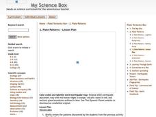
Plate Patterns
Students read about a volcano and use the latitude and longitude information to plot and describe the volcano on the map. They discuss patterns seen on the map. In addition, they color code a map according to zones, plates, etc.
Curated OER
Where Are We?
Students use Cartesian coordinates or degrees of latitude and longitude to locate important locations within their specific countries. They Use a grid to apply the concept of latitude and longitude, or positive and negative Cartesian...
Curated OER
Follow the Falling Meteorite
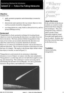
Students use triangulation method to locate meteorite landing site on the map. In this earth science lesson, students participate in a meteorite treasure hunt set up by the teacher. They explain how this method is used by scientists to...
Curated OER
Roots of the Hawaiian Hotspot
Students explain the processes of plate tectonics and volcanism that resulted in the formation of the Hawaiian Islands. They describe, compare, and contrast S waves and P waves. They explain how
Curated OER
Conducting Research
Sixth graders write research reports about trains. They focus on mechanical features of trains.
Curated OER
Follow The Falling Meteorite
Learners investigate the supposed traveling path of a meteorite. They use sound in order to triangulate the path. The results of the experiment are written on a map to display the path of the meteorite. The culminating activity is when...
Science Education Resource Center at Carleton College
Serc: Subduction Zone Earthquakes
For this lesson, young scholars manipulate a model, consisting of templates on a piece of paper and an overlaying transparency, in order to explore the characteristics of subduction zone earthquakes. In the process, they develop an...
Science Buddies
Science Buddies: Locating the Epicenter of an Earthquake
When an earthquake happens, how are scientists able to determine the original location of the quake? In this project, you'll use archived data from a network of seismometers to find out for yourself. You'll create your own seismograms...
National Association of Geoscience Teachers
Nagt.org: A Kinesthetic Demonstration for Locating Earthquake Epicenters
A kinesthetic activity for students to understand the technique for locating the epicenter of an earthquake. It is performed indoors and outdoors in three lessons.
Science Education Resource Center at Carleton College
Serc: An Earthquake Lab for Physical Geology
This article from the Journal of Geological Education describes an activity in which students locate the epicenter of several earthquakes, plot the trends of the two faults involved, and determine the sense of motion along the plane of...
Science Education Resource Center at Carleton College
Serc: The 2004 Sumatra Earthquake and Tsunami
Using real seismic recordings from a number of seismic stations, learners find the location of the epicenter of the 2004 Sumatra earthquake. They next determine the path of the tsunami triggered by it, and calculate how much lead time...
Incorporated Research Institutions for Seismology
Iris: Earthquakes, Like Ripples on Water?
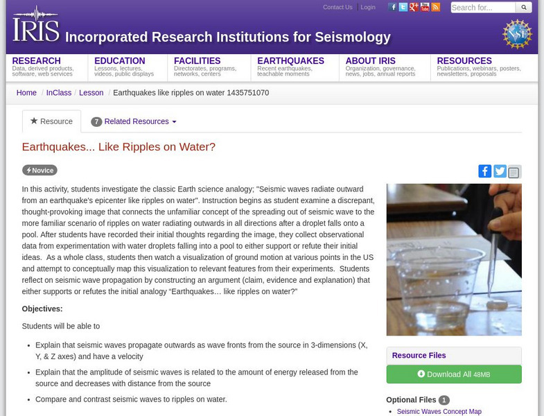
In this activity, learners investigate the classic Earth science analogy, "Seismic waves radiate outward from an earthquake's epicenter like ripples on water."
Science and Mathematics Initiative for Learning Enhancement (SMILE)
Smile: Earthquake Waves and Their Destructions
Looking for the epicenter of an earthquake and measuring the magnitude of waves are goals for students in this lesson plan for intermediate to middle school students. Students get to analyze the P and S waves.
Purdue University
Purdue University: An S and P Wave Travel Time Simulation
A classroom simulation modeling how earthquake waves travel through Earth at different speeds. A graph is constructed to demonstrate the relationship between the distance and time of travel of seismic waves, and then used to locate the...


