US Geological Survey
U.s. Geological Survey: Search Earthquake Catalog
Use this interactive map to find out about earthquakes which have happened around the world since about 1970.
Science4Fun
Science4 Fun: Earthquake
Information about earthquakes including causes and how they are measured.
Science Education Resource Center at Carleton College
Serc: Virtual Earthquake
An activity-based program designed to introduce the concepts of how an earthquake epicenter is located and how the Richter magnitude of an earthquake is determined.
Purdue University
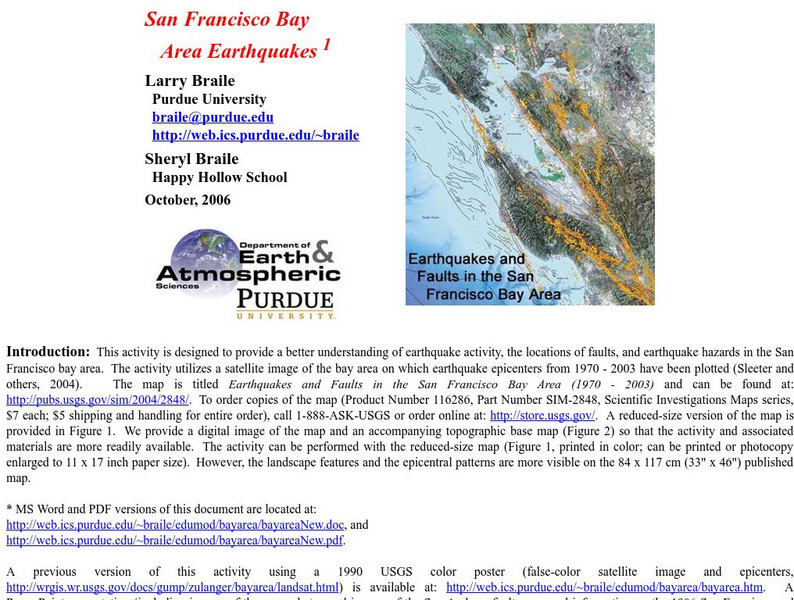
Purdue University: San Francisco Bay Area Earthquakes
Students use geologic fault maps of the San Francisco Bay Area to find relationships between tectonic plate fault lines and landscape features, topographic features, and epicenters of past earthquakes.
California Institute of Technology
Cal Tech: The Great 1857 Fort Tejon Earthquake
Basic information about the 1857 "Fort Tejon" Earthquake, along with comparison to other quakes, location of the epicenter, and faults involved.
Incorporated Research Institutions for Seismology
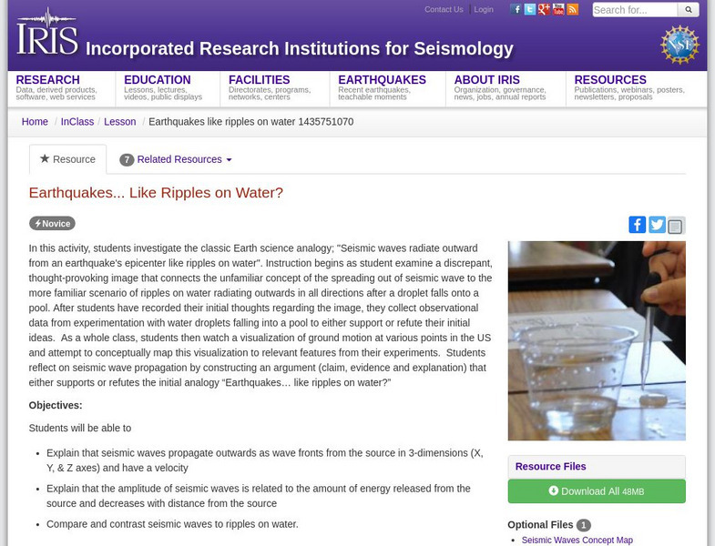
Iris: Earthquakes, Like Ripples on Water?
In this activity, learners investigate the classic Earth science analogy, "Seismic waves radiate outward from an earthquake's epicenter like ripples on water."
Incorporated Research Institutions for Seismology
Iris: How Are Earthquakes Located?
This illustrated fact sheet shows how S and P waves each travel at varying speeds and therefore arrive at seismic stations at different times.
Other
Vibrationdata: Alaska Earthquake 1964
Time, date, and size of the Alaskan 1964 earthquake. Photos of the damage caused by the quake and the tsunami, location of the epicenter, and a description of the landslides.
Michigan Technological University
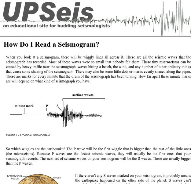
How Do I Read a Seismogram?
When you look at a seismogram, there will be wiggly lines all across it. So which wiggles are the earthquake? This site answers this question.
Science and Mathematics Initiative for Learning Enhancement (SMILE)
Smile: Earthquake Waves and Their Destructions
Looking for the epicenter of an earthquake and measuring the magnitude of waves are goals for students in this lesson plan for intermediate to middle school students. Students get to analyze the P and S waves.
Curated OER
Merriam Webster: Visual Dictionary Online: Earthquake
Labeled diagram illustrating key terms associated with earthquakes.
Science Buddies
Science Buddies: How Fast Do Seismic Waves Travel?
Here's a geology project that uses historical seismograph data that you can collect from the comfort of your own computer. You'll use a web interface to a network of seismometers run by the Northern California Earthquake Data Center, at...
University of California
U. Of California Berkeley: Can You Read a Quake?
Eight seismograms and instructions are provided to assist in the learning of how to locate the epicenter of an earthquake.
Purdue University
Purdue University: An S and P Wave Travel Time Simulation
A classroom simulation modeling how earthquake waves travel through Earth at different speeds. A graph is constructed to demonstrate the relationship between the distance and time of travel of seismic waves, and then used to locate the...
Oswego City School District
Regents Exam Prep Center: Earth's Interior
A basic overview of the earth's mantle, crust, inner core, and outer core. Also discusses how earthquake waves travel through the Earth.
Other
Matter Project: Seismic Waves
Seismic waves are studied to better understand the ground beneath us, the layers of Earth and points of interest for earthquakes. Better understand the types of waves, what substances they may travel through and how, and gain a clearer...
CK-12 Foundation
Ck 12: Earth Science: Earth's Tectonic Plates
[Free Registration/Login may be required to access all resource tools.] Earth's tectonic plates and how they move.


