US Geological Survey
U.s. Geological Survey: Did You Feel It?
Locate all the most recent earthquakes on this interactive map. Data includes location, magnitude and time of the quake.
Texas State Historical Association
Texas State Historical Association: Texas' Natural Environment
Presents information and data on all aspects of the geography, natural resources, and climate of Texas, including natural disasters and extreme weather events.
Woods Hole Oceanographic Institution
Woods Hole Oceanographic Institution: Tsunami: An Interactive Guide
A complete, interactive learning activity covering the science of tsunamis, preparedness, research, and historical tsunamis. Excellent animations and real, historical recordings of survivors allow the learner to experience what happens...
University of Washington
University of Washington: A Survey of Great Tsunamis
This resource opens up with a clickable map that will provide information on eight different tsunamis, such as the 1929 Grand Banks tsunami, the 1975 Hawaiian tsunami, and several others. Basic information and the damage caused by each...
Science Buddies
Science Buddies: How Fast Do Seismic Waves Travel?
Here's a geology project that uses historical seismograph data that you can collect from the comfort of your own computer. You'll use a web interface to a network of seismometers run by the Northern California Earthquake Data Center, at...
Curated OER
Etc: Earthquake Activity in the United States, 1872 1882
A map from 1888 of the United States showing the regions shaken by earthquakes since 1872 and the extent of the area in which the earthquake was felt. The month and year of each earthquake is indicated in its boundary line.
Curated OER
Wikipedia: National Historic Landmarks in California: James C. Flood Mansion
Mansion of James C. Flood, 19th century silver-baron; first brownstone building built west of the Mississippi River; one of the only buildings on Nob Hill to survive the 1906 San Francisco earthquake and fire; purchased by the...
Curated OER
Wikipedia: National Historic Landmarks in Ca: Mission San Miguel Arcangel
The 16th California Mission church remains well preserved and still in use today though under earthquake remediation construction. Inside are murals by Esteban Munras.
Curated OER
Wikipedia: National Historic Landmarks in California: Old United States Mint
Built for the San Francisco Mint in 1874 to handle the overflow from the California Gold Rush, this building is affectionately as The Granite Lady. It is one of the few that survivors of the great 1906 San Francisco earthquake and served...
A&E Television
History.com: When the Golden Gate Bridge Flattened by 7 Feet and Facts About the San Francisco Icon
The 1.7-mile-long Golden Gate Bridge has endured earthquakes, lead paint and record crowds since its historic construction in 1937. Check out the eight surprising facts about he Golden Gate Bridge.
Incorporated Research Institutions for Seismology
Iris: Seismic Waves Viewer
Visualize the propagation of seismic waves from historic earthquakes through Earth's interior and around its surface.
US Geological Survey
Usgs: Developing the Theory
This comprehensive overview of continental drift takes a historical look at the various types of evidence which led to the development of the theory.
Library of Congress
Loc: America's Memory: Montana
Who were the first white explorers to "set foot in Montana?" Find out more about the Native American population living in Montana. Draw on the experience of the Native American population.
Library of Congress
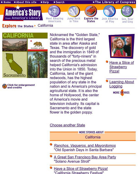
Loc: America's Story: California
What is happening in the "Golden State." Look for new and exciting things going on in California at this site. How big was the crack in the earth after the 1906 earthquake?
Science Buddies
Science Buddies: Ring of Fire 1: What Volcanoes Tell Us About Plate Tectonics
The Ring of Fire is a region of volcanic and earthquake activity that surrounds the Pacific Ocean. In this project you can explore the connection between plate tectonics and volcanic activity by mapping historical data.
Curated OER
Etc: Maps Etc: Mexico, Central America, and the West Indies, 1898
A map from 1898 of Mexico, Central America and the West Indies. The map includes an inset map of Cuba and the Isthmus of Nicaragua. "The surface of the Rocky Mountain highland in Mexico is quite similar to that of the great plateau...
Curated OER
Etc: Maps Etc: Physical Map of South America, 1898
A map from 1898 of South America showing the general physical features including mountain systems, prominent peaks and volcanoes, river and lake systems, plateaus, and coastal features. The map includes an insert of the Isthmus of...


