Curated OER
Traveling Through North America
Students identify places and landmarks in North America, specifically Canada and the United States, by using and constructing maps. Six lessons on one page; includes test.
Curated OER
Population and Population Density
Students read and interpret graphs. In this population lesson, students explore population and population density as they read several data graphs and respond to questions.
Curated OER
Rice: The Global Crop
Young scholars understand the uniqueness of the rice plant and how it grows. Students compare rice growing in Indonesia and California, observing the steps common to the process everywhere. Young scholars comprehend the concepts...
Curated OER
The Historical Geography of Mesopotamia
Students show how the geography of the Mesopotamia region has impacted the beginnings of civilization. They show how this area has long been the site of the rise and fall of great empires, and how the geography of this region has a lot...
Curated OER
Trade in the Silk Road Cities
Students use Google Earth to map cities along the Silk Road trade route. In this Silk Road trading lesson plan, students complete a worksheet examining production, transportation, and value of goods and research trade items. Students...
Curated OER
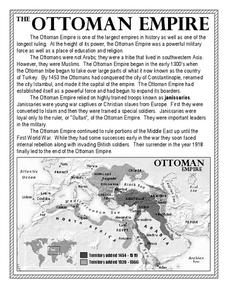
The Ottoman Empire
In this Ottoman Empire worksheet, students read a 1-page selection about the empire and examine a map. Students then respond to 5 short answer questions about the reading selection and the map.
Curated OER
Examples of Justice Systems and Practices in Western Africa
Tenth graders explore African belief systems. In this West African lesson, 10th graders research these belief systems. Students create a wooden figure that represents these beliefs.
Curated OER
A Caravan Of Camels
Fourth graders discuss the role the Silk Road had in trade and commerce practices in China during different Chinese dynasties. The lesson evaluation consists of individual student writing assignments.
Curated OER
The Roman Empire
Fourth graders identify the reasons behind the fall of the Roman Empire and describe the changes that occurred after the fall of the Roman Empire.
Curated OER
Regions of South America
Students explore facts about South America in the four lessons of this unit. Booklets are created from the materials produced as the class delves into the topic.
Curated OER
Landforms All Around
Students create a "Landform Dictionary". They develop an overlay map and participate in hands-on activities to identify the key characteristics of landforms. They discuss the plant and animal life of these areas. Handouts for the lessons...
Curated OER
Immigration and American Life on African-Americans
Young scholars examine how human migration started in Africa, and draw maps of Africa and place the names of the countries and capitals on the maps. They write essays on how Africans came to America.
Curated OER
Founding Documents of the Peace Corps
Learners examine United States foreign policy in the period immediately following World War II through the activities of the Peace Corps.
Curated OER
Drawing on Kenaf
Learners explore kenaf, a tree-free paper. In this environmental issues lesson, students draw pictures following a presentation about the origin and "eco-friendly" nature of kenaf.
Khan Academy
Khan Academy: East Asia
The complex and powerful states, dynasties, and civilizations that emerged in East Asia were strongly influenced by the environments in which they prospered. This article discusses the geographic features of China, Korea, and Japan.
Columbia University
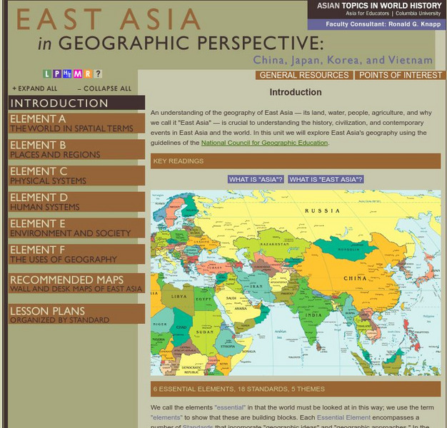
Columbia University: Asia for Educators: East Asia in Geographic Perspective
This teacher resource is devoted to teaching about the geographic history of East Asia. Includes standards information and links to related lesson plans. Also features a downloadable world map (PDF, requires Adobe Reader).
Massachusetts Institute of Technology
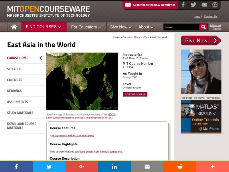
Mit: Open Course Ware: East Asia in the World
Drawing attention to relationships between East Asian countries and the rest of the world enhance lessons by introducing some of the resources mentioned.
Massachusetts Institute of Technology
Mit: Open Course Ware: East Asia in the World
Drawing attention to relationships between East Asian countries and the rest of the world enhance lessons by introducing some of the resources mentioned.
OpenStax
Open Stax: American Foreign Policy 1890 1914: Economic Imperialism in East Asia
As America's economic prowess grew, it was able to harness this power to expand its imperialistic arm into China. This mutually beneficial relationship lasted until after World War II when China became a communist country.
Columbia University
Columbia University: Characteristics and Spatial Distribution of Ecosystems
An understanding of the geography of East Asia - its land, water, people, agriculture, and why we call it "East Asia" - is crucial to understanding the history, civilization, and contemporary events in East Asia and the world. In this...
BBC
Bbc: Country Profile: East Timor
Use this resource to find out about East Timor, the first new country of the 21st century. You can read about its history and its struggles to become and remain independent. From BBC News. There are links to recent news, videos, and a...
Other
University of Connecticut: Asian History: Emperor Jimmu's Conquest of the East
Website on Asian history features information on the Emperor Jimmu and the conquest of the East.
University of Groningen
American History: Outlines: The Cold War in Asia and the Middle East
Overview outlining the Cold War conflict spread as Communist government's took over in China, Korea and the Middle East.
Metropolitan Museum of Art
Metropolitan Museum of Art: Timeline of Art History: Japan: a.d. 500 1000
Interactive timeline allows visitors to view representative works of Japanese art in a segmented chronology that extends from AD 500 to 1000. Includes examples from different periods in Japanese history and from all geographical regions....


