NOAA
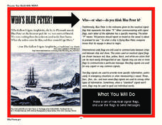
Who’s Blue Peter?
Scholars discover who Blue Peter is and how sailors used nautical signal flags on the open waters in order to create their own set of nautical signal flags and send messages to peers.
Curated OER
Pilgrims and Puritans
With graphic organizers galore, learners will follow the changes of church and state in early colonial America. They look at the differences between the pilgrims and the puritans in terms of beliefs and life ways. Myths and...
Curated OER
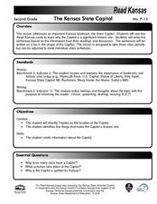
The Kansas State Capitol
Second graders research the Kansas state capitol building. In this historical landmark lesson, 2nd graders explore the Kansas state capitol. Over three days students explore the Governor's office, Senate and House of Representatives, and...
Curated OER
Educational Technology Clearinghouse: Maps Etc: Plymouth, 1919
A road map of Plymouth, Massachusetts, from the Official Automobile Blue Book (1919), showing Plymouth Harbor, the major roads, railroads and station, Plymouth Rock, cemetery, and major landmarks.
Curated OER
Educational Technology Clearinghouse: Maps Etc: Plymouth Harbor, 1620
A map of Plymouth Harbor showing the landing site of the Mayflower, the Plymouth Rock, and the earl settlement site of the Pilgrims.


