Curated OER
Immigration in Massachusetts, 1880-1920
Learners, in groups, research immigration in America at the turn of the century. They put together a series of original written essays, letters, newspaper columns, etc. that show what it was like to live as an American citizen and as an...
Curated OER
Biomes: Extreme Climate
Students discuss the causes of global warming. In this earth science instructional activity, students examine how global warming is connected to the arctic and world climate. They write a paragraph about their interconnection.
Curated OER
How Warm is the Water?
Pupils research how surface sea temperature changes throughout the year. They draw a time series of sea surface temperatures for each month of the year and a depth profile for a summer and winter month using an OceanExplorer Profiler tool.
Curated OER
Regions of South America
Students explore facts about South America in the four lessons of this unit. Booklets are created from the materials produced as the class delves into the topic.
Curated OER
Landforms All Around
Students create a "Landform Dictionary". They develop an overlay map and participate in hands-on activities to identify the key characteristics of landforms. They discuss the plant and animal life of these areas. Handouts for the lessons...
Curated OER
Home Sweet Home-Far From Home
Students observe slides of U.S. coastal geography. They study topography and vegetation maps for one region. They gather geographic facts on a guided worksheet. Students pretend to be colonists. They decide what kind of economic system...
Society for Science and the Public
Science News for Students: Climate Change Could Stall Atlantic Ocean Current
When carbon dioxide levels rise, the currents slow, which leads to temperatures dropping because of the lack of water movement. Europe could suffer as a result of this change.
BBC
Bbc: Atlantic Charter
This primary source article discusses the development of the Atlantic Charter and its provisions for self-determination in Europe.
Other
West Chester University: The Trans Atlantic Economy in 1800
This short but good article examines the state of trade as it existed in 1800 between Europe, the Americas and Africa. There is a nice discussion on the slave trade as well as the need for the Europeans to acquire more markets for their...
OpenStax
Open Stax: World War Ii 1941 1945: Origins of War: Europe, Asia and United States
Examines the conditions that fostered the rise of Fascism and Nazism, the events during the lead-up to the outbreak of war, and what Roosevelt did to help affected nations yet still keep the United States neutral.
Other
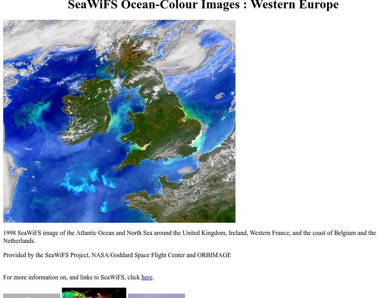
Sea Wi Fs Ocean Colour Images: Western Europe
If you need a great color image of the sea near Western Europe for a project, make sure you look at this page. It has a beautiful satellite image of Europe and its ocean.
Curated OER
Educational Technology Clearinghouse: Maps Etc: Vegetation in Europe, 1898
A map showing Vegetation in Europe as of 1898. "The great agricultural regions are (1) the northern lowland from the Atlantic eastward through southern Russia, and (2) the broad fertile valleys of the Danube, the Po, the Rhone, and the...
Curated OER
Educational Technology Clearinghouse: Maps Etc: Drainage Basins of Europe, 1916
A map showing the Atlantic, Mediterranean, Arctic, and Caspian drainage basins or watersheds of Europe. The map includes major river systems and the bodies of water they flow into.
Curated OER
Etc: Maps Etc: Physical Features of Europe, 1901
A map from 1901 of Europe, showing the physical features of the region. This map is color-coded to show general elevations from sea level to over 6,500 feet, mountain systems, drainage divides, lakes, rivers, coastal features, and the...
Curated OER
Educational Technology Clearinghouse: Maps Etc: Europe (Physical), 1868
A map from 1868 of Europe, showing the physical features, climate, and commercial resources of the region. Mountain chains are represented by lines of varying thickness, with the broader the line, the greater the elevation. The highest...
Curated OER
Educational Technology Clearinghouse: Maps Etc: Outline Map of Europe, 5,000 Bce
An outline map of Europe at a time when sea levels were lower than present, with Iceland, the British Isles and Scandinavian Peninsula a part of the mainland, and the Mediterranean, not connected to the Atlantic Ocean, split into two...
Independence Hall Association
U.s. History: America in the Second World War
A brief description of the course of World War II in both Europe and the Pacific. Read about the new technologies developed for the military by both the Allies and Axis powers, and find out about the millions who died as a result of the...
Independence Hall Association
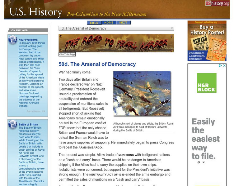
U.s. History: The Arsenal of Democracy
Although Americans remained isolationist in their thinking, President Roosevelt understood that the European allies needed help against the Germans. Read about the incremental ways America became involved in World War II in Europe...
PBS
Pbs: American Experience: Fdr: Robert Dallek, Historian
An interview with Robert Hallek who discusses the foreign policy decisions made by Franklin Roosevelt prior to World War II. Read about the commitment Roosevelt made to Winston Churchill to fight against the Nazis in Europe.
Independence Hall Association
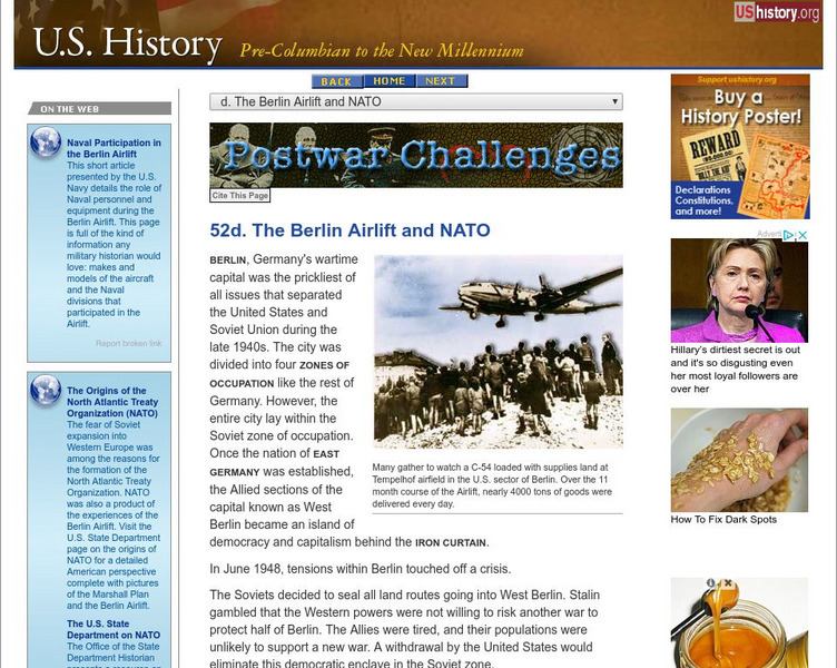
U.s. History: The Berlin Airlift and Nato
President Harry Truman was determined to contain the Soviet sphere of influence in Europe. See how the United States and Great Britain stood up to Stalin's attempt to take over West Berlin by blockading access to the city. Understand why...
Siteseen
Siteseen: American Historama: Nato
The NATO Treaty formed in 1949 during the Cold War to create a mutual defense pact aimed at containing possible Soviet expansion into Europe.
Other
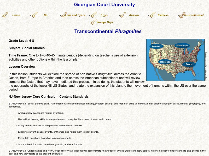
Transcontinental Phragmites
For this lesson, students will examine the spread of Phragmites, an invasive species, across the Atlantic from Europe to the United States, and look for connections to human navigation patterns, while applying their knowledge of American...
Steven Kreis, PhD
The History Guide: The Origins of the Cold War
A lengthy lecture-format page with key points of the development and emergence of the Cold War. Includes many useful links within the content.
BBC
Bbc: News: Country Profile: Faroe Islands
The BBC presents a general overview on the Faroe Islands, an autonomous region of Denmark. Provides historical, geographical, and cultural facts, information on political leaders and the news media, and a timeline of key events.


