Curated OER
Traveling Through North America
Students identify places and landmarks in North America, specifically Canada and the United States, by using and constructing maps. Six lessons on one page; includes test.
Curated OER
Getting to Know My World
Students participate in hands-on activities using maps and globes to identify geographical features. Students use map legends to identify direction. Students locate oceans, continents, countries, states and cities. Handouts and...
Curated OER
Africa 1500-present: The Big Picture
In this African history study guide worksheet, students read a brief overview pertaining to the history of Africa from 1500 to the present.
Curated OER
Ponce de Leon
Fifth graders explain that the discoveries of Ponce de Leon were important, both in and of themselves and to the destinies of Europeans and Native Americans. They write an essay highlighting two of his important discoveries.
Curated OER
The Roman Empire-Map Activity
In this Roman Empire worksheet, students complete a map activity in which they label and color civilizations, countries and physical features as instructed. There are no maps included.
Curated OER
Regions of South America
Students explore facts about South America in the four lessons of this unit. Booklets are created from the materials produced as the class delves into the topic.
Curated OER
Landforms All Around
Students create a "Landform Dictionary". They develop an overlay map and participate in hands-on activities to identify the key characteristics of landforms. They discuss the plant and animal life of these areas. Handouts for the lessons...
Other
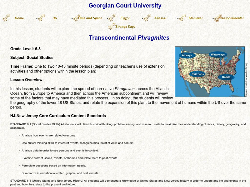
Transcontinental Phragmites
For this lesson, students will examine the spread of Phragmites, an invasive species, across the Atlantic from Europe to the United States, and look for connections to human navigation patterns, while applying their knowledge of American...


