Annenberg Foundation
Annenberg Learner: Us History Map Assessment: Test Your Skills
Test how much you know about major U.S geographic features, Indian tribes, states and regions, European colonists and territorial expansion. View your correct and incorrect answers, and print out your assessment.
A&E Television
History.com: How Toussaint L'ouverture Rose From Slavery to Lead the Haitian Revolution
Pushing back aggressions by Europe's greatest powers, Haiti's 'founding father' set the stage for the world's first sovereign Black state. How did Toussaint L'ouverture born into bondage in the French colony of Saint-Domingue...
Curated OER
Educational Technology Clearinghouse: Maps Etc: Colonial Africa, 1914
A map of Africa in 1914, showing the presence of European powers, including British, French, German, Portuguese, Spanish, Italian, and Belgian possessions. Native states, major cities and major railways are also shown. This map reflects...
Curated OER
Educational Technology Clearinghouse: Maps Etc: Pre Colonial Africa, 1858
Map of Africa in 1858, prior to the extensive European colonization of the continent established at the Berlin Conference of 1885. This map shows the European possessions of the Cape Colony, Natal, and Orange River Free State, and the...
Curated OER
Educational Technology Clearinghouse: Maps Etc: Colonial Africa, 1903
A political map of Africa, as it was in 1903, showing European land claims after the Berlin Conference in 1885. The lack of natural boundaries, that is, boundaries along rivers, mountains, or native lands, shows the European system of...
Curated OER
Educational Technology Clearinghouse: Maps Etc: Colonial Africa, 1899
Map of Africa in 1899 showing the colonial possessions of European powers on the continent established at the Berlin Conference of 1885. This map shows major cities and trade centers, railroad routes and canals, major river systems, and...
Curated OER
Educational Technology Clearinghouse: Maps Etc: Pre Colonial Africa, 1885
A map of the African continent prior to the Berlin Conference of 1885, when the most powerful countries in Europe at the time convened to make their territorial claims on Africa and establish their colonial borders at the start of the...
Curated OER
Educational Technology Clearinghouse: Maps Etc: Pre Colonial Africa, 1872
A map of Africa showing the continent prior to the Berlin Conference of 1885, when the most powerful countries in Europe at the time convened to make their territorial claims on Africa and establish their colonial borders at the start of...
Curated OER
Etc: Maps Etc: Pre Colonial Central Africa, 1883
A map of central Africa in 1883, prior to the Berlin Conference when European powers established their colonial territories on the continent.
Curated OER
Educational Technology Clearinghouse: Maps Etc: Colonial Georgia, 1732 1763
A map of Colonial Georgia, showing the proclamation line of the original United States established at the end of the American Revolutionary War in 1763, the boundary when Georgia was established from the Carolinas as a buffer between the...
Curated OER
Educational Technology Clearinghouse: Maps Etc: Colonial Africa, 1912
Map of Africa showing European colonies and independent countries. Also shows waterways, railroads, and cities. Includes an insert map of Cape Verde Islands.
Curated OER
Educational Technology Clearinghouse: Maps Etc: Colonial Africa, 1897
Map of Africa in 1897 showing the European land claims established by the Berlin Conference of 1885. This map also shows major cities and towns, mountain regions, deserts, and river systems.
Curated OER
Educational Technology Clearinghouse: Maps Etc: Political Colonial Africa, 1916
A political map of the African continent in 1916, showing the European territorial claims established at the Berlin Conference in 1885. This map also shows the territorial enclaves of British Walfish Bay in German Southwest Africa,...
Curated OER
Etc: Maps Etc: Colonial Southern Africa and Madagascar , 1906
Map of Southern Africa and Madagascar in 1906 showing the European land claims established at the Berlin Conference of 1885 from approximately the Equator south to the Cape of Good Hope.
Jamestown-Yorktown Foundation
History Is Fun: Cultures at Jamestown [Pdf]
A six-page discussion of the mix of cultures that converged in the colony of Jamestown and the challenges this presented. These cultures were the English settlers, the indigenous Powhatan people, and the African slaves. Despite many...
Countries and Their Cultures
Countries and Their Cultures: Asians of Africa
The Asian population of Africa is a small but significant minority. Whereas there have been Asians, primarily merchants, who lived on the east coast of Africa for hundreds, if not thousands, of years, a great influx of Asians came to...
National Humanities Center
National Humanities Center: Toolbox Library: Failed Colonies, American Beginnings: 1492 1690
Three European accounts of the disappointments, challenges, and outright failures to establish early successful colonial outposts in North America.
The History Place
The History Place: American Revolution
The History Place provides this timeline broken into six different sections that highlight the important events from the early European exploration of America through to the United States becoming a country. Features include informative...
Khan Academy
Khan Academy: Us History: 1491 1607: Environmental/health Effects in New World
European arrival in the Americas decimated both indigenous people and previously-flourishing ecosystems.
Cengage Learning
Literature of Discovery and Exploration
Teaching approach that examines the writings of European New World explorers from the late 1400s through the 1600s. Includes Christopher Columbus, Alvar Nunez Cabeza de Vaca, Rene Goulaine de Laudonniere, Pedro Menendez de Aviles, Fray...
PBS
Pbs: About All You Can Eat: A Feast at Plimouth Plantation
A lesson plan in the culinary delicacies of the Plymouth Plantation in 1627. In this integrated lesson plan, students examine the history of foods eaten during this colonial era and prepare an actual meal based on what they have learned....
National Humanities Center
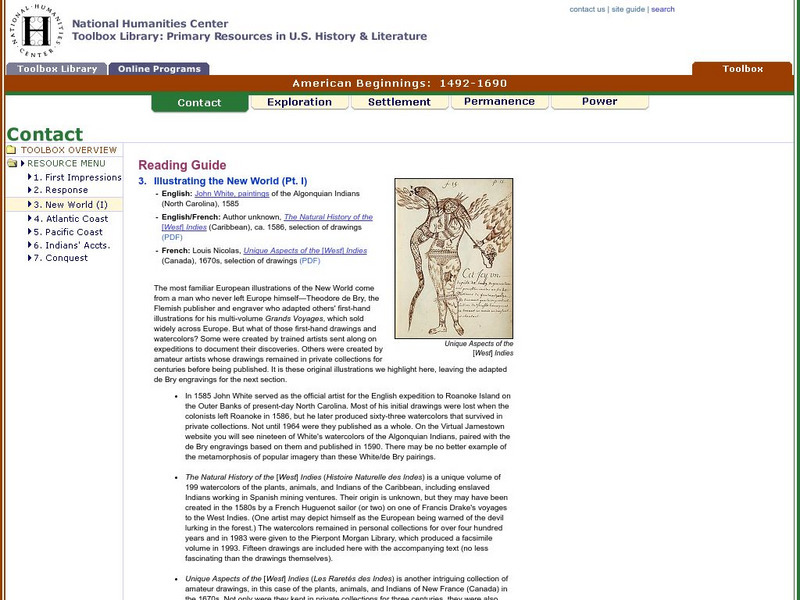
National Humanities Center: Toolbox Library: New World: Part I: American Beginnings: 1492 1690
A variety of paintings and drawings that display European images of their first encounters with the land, plants, animals, and native peoples of the western hemisphere. With questions for discussion.
National Humanities Center
National Humanities Center: Toolbox Library: Questions & Answers, American Beginnings: 1492 1690
An online exhibition of images of European settlement to accompany two English, a French, and a Dutch set of promotional accounts that offer advice, encouragement, and occasional warning to prospective immigrants to newly settled areas...
National Humanities Center
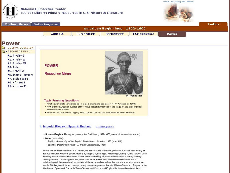
National Humanities Center: Toolbox Library: Power, American Beginnings: 1492 1690
Fifty seven primary sources-historical documents, literary texts, and visual images-and one secondary historical account that explore imperial conflict, European economic rivalry, and the impact of colonial rule on native peoples.


