Enchanted Learning
Enchanted Learning: Marco Polo
A brief account of the voyages and travels undertaken by Marco Polo who was one of the first Europeans to travel from Italy across Asia to China.
Curated OER
Etc: Early Explorers of the Atlantic Coast, 1492 1620
A map of the Atlantic coast of North America from the Labrador Peninsula and Gulf of St. Lawrence south to the Santee River in the Carolinas, showing the European explorations and settlements in the region between 1492 and 1620. The map...
Curated OER
Etc: Maps Etc: Egypt, Abyssinia, Et Cetera, 1904
"Egypt is another of those countries whose prehistoric ages are wrapped in mystery as impenetrable as the sources of her Nile, whose exact location ling baffled the most enterprising of explorers. Great interest attaches to the country's...
British Library
British Library:northwest Passage: Early Approaches, a Historical Account
Read about the early attempts to find a way through the Northwest Passage. Included are portraits and early maps of the explorers.
EL Education
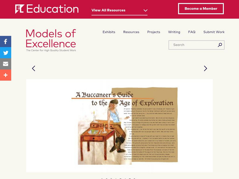
El Education: A Buccaneer's Guide to the Age of Exploration
A Buccaneer's Guide to the Age of Exploration depicts European world-wide exploration and exploitation through a collage-style book of text, hand-drawn and water-colored illustrations, maps, timelines, and diagrams. The book chronicles...
Curated OER
Etc: Early Voyages of Spaniards in the West Indies, 1512 1580
A map of the Gulf of Mexico and Caribbean showing the voyage routes of the early European explorers in the region between 1512 and 1580. The map shows the routes of Alonzo de Ojeda to Darien Colombia, Balboa to the Pacific, Juan Ponce de...
National Humanities Center
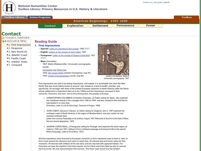
National Humanities Center: Toolbox Library: Contact: First Impressions
English, Spanish, and Portuguese maps and letters of about the voyages of Christopher Columbus, John Cabot, and Portuguese explorer, Gaspar Corte Real, which describe impressions of the lands explored.
National Humanities Center
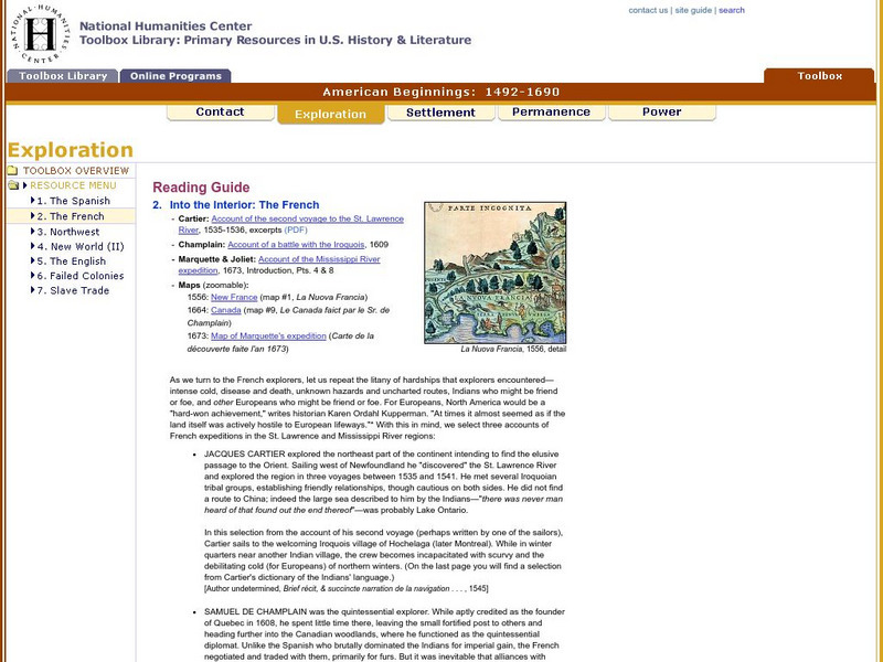
National Humanities Center: Toolbox Library: The French, American Beginnings: 1492 1690
Three maps reflecting French exploration along rivers in North America and three French explorers' accounts of the astonishing hardships they endured and the possibilities for trade with natives they opened.
Houghton Mifflin Harcourt
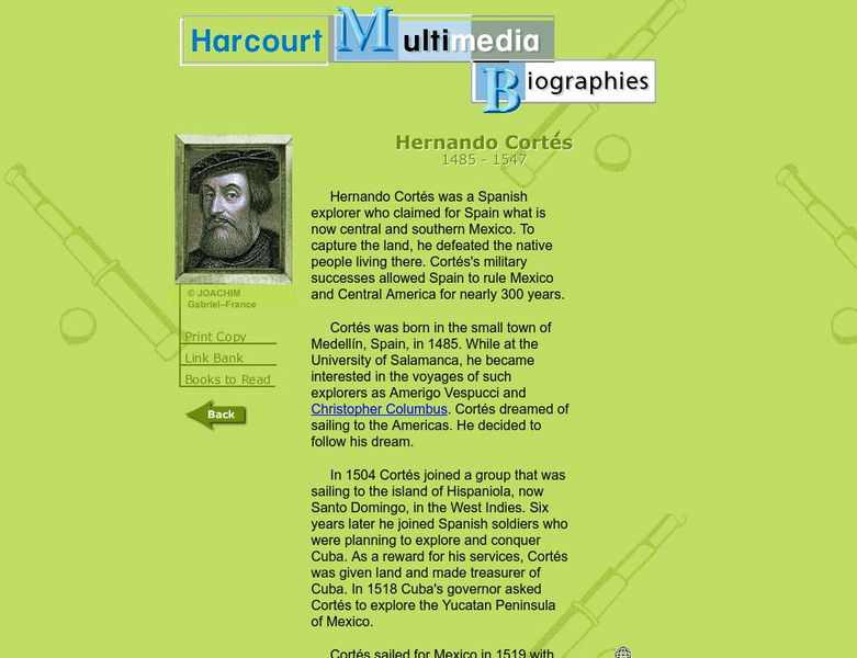
Harcourt: Biographies: Hernando Cortes 1485 1547
Furnished is a brief summary of the life and explorations of Spanish explorer, Hernando Cortes. Take a look at the photos and maps of his journey of what today is called Mexico.
British Library
British Library: Discovering Literature: Travel, Trade and Exploration in the Middle Ages
Medieval Europeans were fascinated by the lands that lay beyond their own continent. This article looks at the real and imaginary travels of explorers and tradesmen through works including The Book of John Mandeville, The Travels of...
National Humanities Center
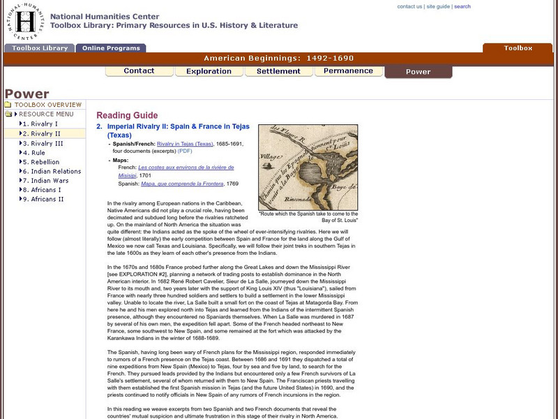
National Humanities Center: Toolbox Library: Rivalry Ii, American Beginnings: 1492 1690
Two eighteenth-century maps and four accounts of the mutual perceptions, suspicions, and observations between Spanish and French explorers on the Gulf Coast.
Curated OER
Etc: Dev of Colonies and Early Western Explorations, 1700 1775
A map of eastern North America showing the early development of the European colonies and westward exploration to the Mississippi River. The map shows the routes of several early explorers with dates of exploration, including La Salle,...
Curated OER
Graphical Element: Iroquois Showing Cartier the Cure for Scurvy
Exploration and mapping of Canada's wilderness was made easier and natural remedies saved many settlers thanks to the knowledge Native groups shared with European explorers.
Curated OER
Educational Technology Clearinghouse: Clip Art Etc: Captain James Cook
A British explorer who made detailed maps of Newfoundland before he achieved the first European contact with the eastern coastline of Australia and the Hawaiian Islands.


