Massachusetts Institute of Technology
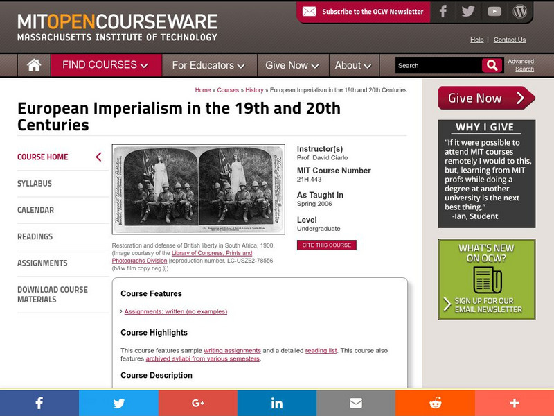
Mit: Open Course Ware: European Imperialism: Nineteenth and Twentieth Centuries
Access university-level course materials compiled for course on European imperialism.
Open Door Team
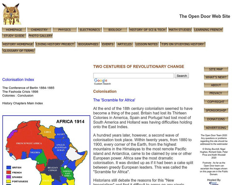
Open Door Web Site: Africa 1914
A colorful map depicting the European claims established in Africa by 1914.
Other
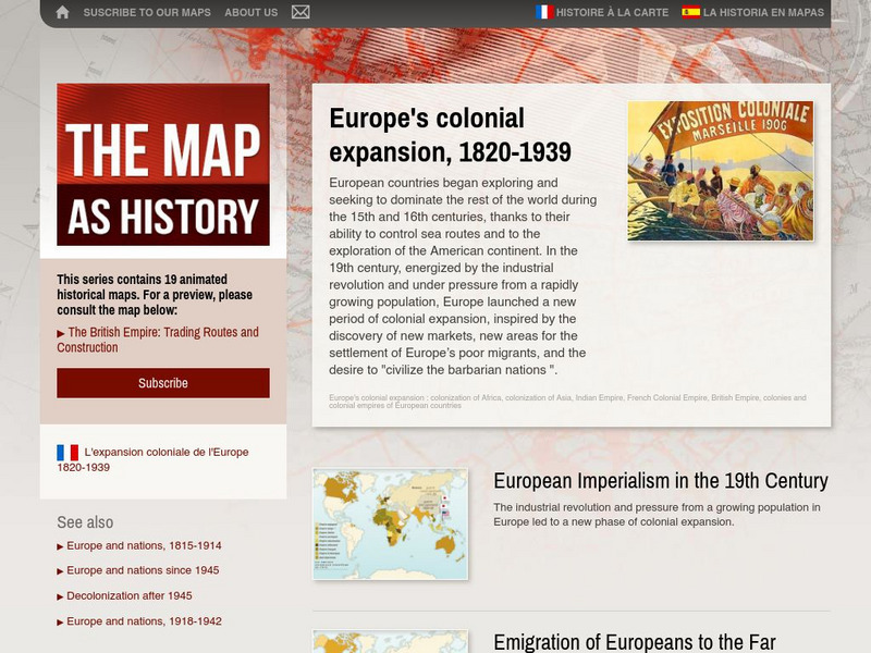
The Map as History: Europe's Colonial Expanision 1820 1939
European countries began exploring and seeking to dominate the rest of the world during the 15th and 16th centuries, thanks to their ability to control sea routes and to the discovery of the American continent. In the 19th century,...
Open Door Team
Open Door Web Site: Scramble for Africa: Belgium
Briefly describes Belgium's role in the Scramble for Africa and provides a little longer explanation of King Leopold's ruthless rule of the African Congo Basin.
Curated OER
Etc: Maps Etc: Africa Before the Berlin Conference, 1884
This is an interesting map of Africa showing the continent before the Berlin Conference of 1885, when the most powerful countries in Europe at the time convened to make their territorial claims on Africa and establish their colonial...
Open Door Team
Open Door Web Site: White Man's Burden
Describes the results of colonization, focusing on the lack of economic profit and more on the civil/social motivations and results. Also contains Rudyard Kipling's commentary on colonization as expressed in his poem "White Man's Burden."
Curated OER
Educational Technology Clearinghouse: Maps Etc: Colonial Africa, 1914
A map of Africa in 1914, showing the presence of European powers, including British, French, German, Portuguese, Spanish, Italian, and Belgian possessions. Native states, major cities and major railways are also shown. This map reflects...
Curated OER
Etc: Maps Etc: Africa Before the Berlin Conference, 1882
A map of Africa as it was known in 1882 before the Berlin Conference of 1885, when the most powerful countries in Europe at the time convened to make their territorial claims on Africa and establish their colonial borders at the start of...
Curated OER
Educational Technology Clearinghouse: Maps Etc: Pre Colonial Africa, 1872
A map of Africa showing the continent prior to the Berlin Conference of 1885, when the most powerful countries in Europe at the time convened to make their territorial claims on Africa and establish their colonial borders at the start of...
Curated OER
Educational Technology Clearinghouse: Maps Etc: Post Wwi Africa, 1918
This map is of Africa after World War I. The scramble by Italy, Belgium, and Germany to create colonies in order to keep up with the British, French, and Spanish Empires was played out in Africa, the last remaining continent yet to be...
Curated OER
Educational Technology Clearinghouse: Maps Etc: Pre Colonial Africa, 1885
A map of the African continent prior to the Berlin Conference of 1885, when the most powerful countries in Europe at the time convened to make their territorial claims on Africa and establish their colonial borders at the start of the...
Curated OER
Maps Etc: The Colonization of Africa, 1870 1910
A map showing the European colonization of the African continent before and after the Berlin Conference of 1885, when the most powerful countries in Europe at the time convened to make their territorial claims on Africa and establish...


