Enchanted Learning
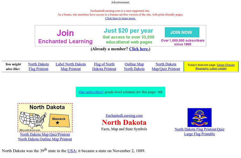
Enchanted Learning: North Dakota
This site has a colorful display of information about North Dakota. It contains a map, pictures, a list of state symbols, and links to related information.
Enchanted Learning
Enchanted Learning: South Carolina
This site from Enchanted Learning provides a colorful display of information about South Carolina. It contains a map, pictures, a list of state symbols, and links to related information.
Enchanted Learning
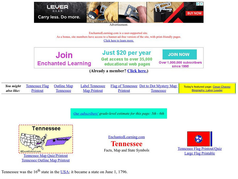
Enchanted Learning: Tennessee
This site has a colorful display of information about Tennessee. It contains a map, pictures, a list of state symbols, and links to related information.
Enchanted Learning
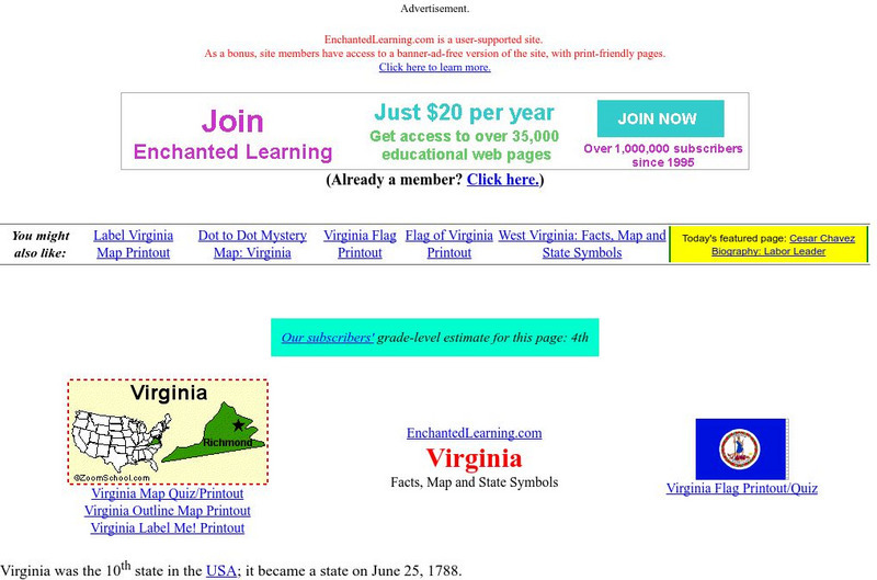
Enchanted Learning: Virginia
This site has a colorful display of information about Virginia. It contains a map, pictures, a list of state symbols, and links to related information.
Enchanted Learning
Enchanted Learning: Washington
This site has a colorful display of information about Washington. It contains a map, pictures, a list of state symbols, and links to related information.
Enchanted Learning
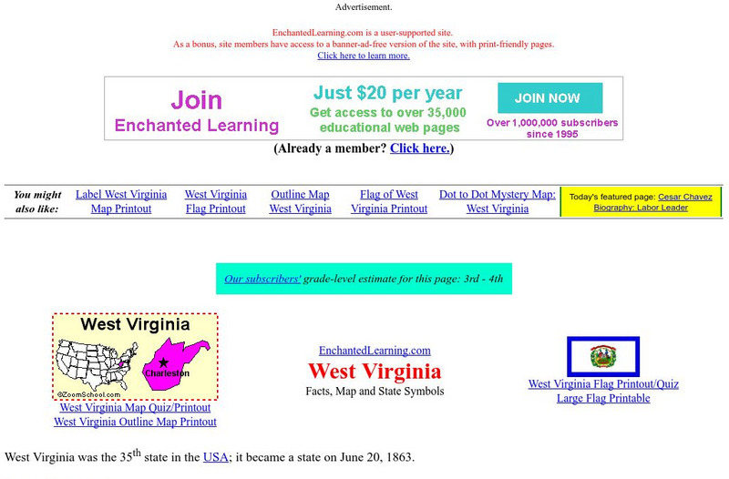
Enchanted Learning: West Virginia
Learn about West Virginia with a colorful map, pictures, and a list of state symbols and links to related information.
Enchanted Learning
Enchanted Learning: Wyoming
A colorful display of information about Wyoming. Contains a map, pictures, a state symbols list, and links to related information.
Enchanted Learning
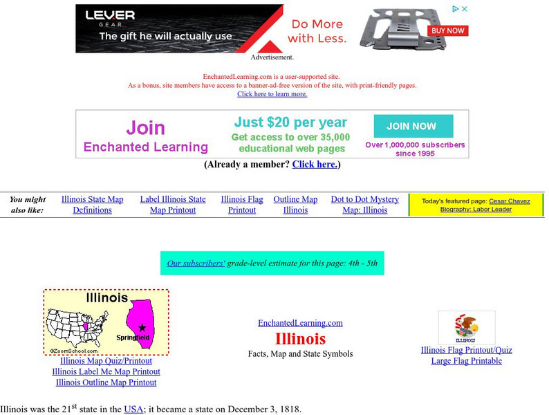
Enchanted Learning: Illinois
This site has a colorful display of information about Illinois. It contains a map, pictures, a list of state symbols, and links to related information.
Virtual Museum of Canada
Virtual Museum of Canada: Community Stories: Papertown, the Dalhousie Story
The story of Dalhousie, New Brunswick is profiled. It grew from a fishing village to a prosperous town dependant on one industry, the paper mill. Archival materials are included in the exhibit.
Virtual Museum of Canada
Virtual Museum of Canada: Community Stories: Norris Arm: Those Pine Clad Hills
The history of Norris Arm, Newfoundland is profiled. Over the years, many different industries thrived..from salmon fishing and lumbering to the railway and the military. Archival photographs of the people and businesses are included.
Curated OER
The Crew of the Trawler Shannon M
An intriguing look at trawling for groundfish. A fascinating video accompanies this site.
Enchanted Learning
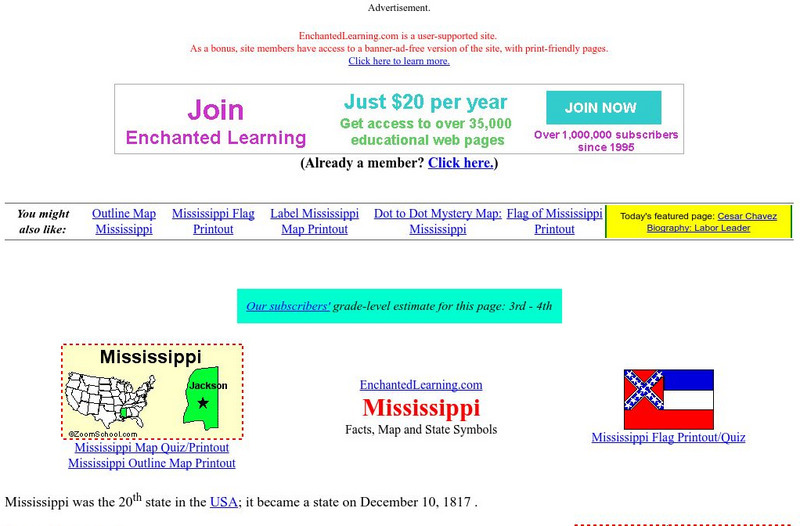
Enchanted Learning: Mississippi
This site has a colorful display of information about Mississippi. It contains a map, pictures, a list of state symbols, and links to related information.
Travel Document Systems
Tds: Senegal: Economy
Learn about Senegal's changing economy from this information from the U.S. State Dept. Background Notes.
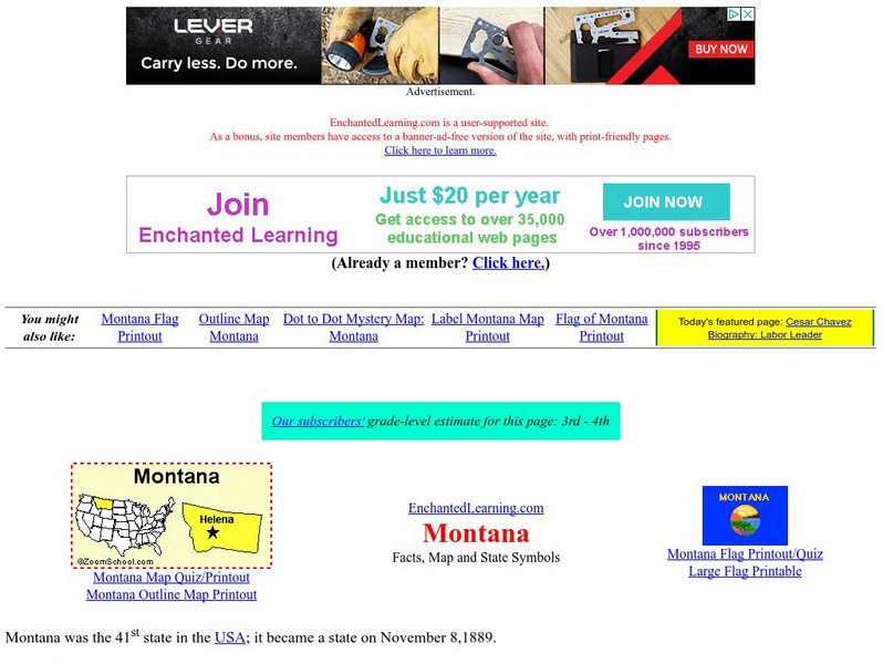
Enchanted Learning
Enchanted Learning: Montana
This site from Enchanted Learning provides a colorful display of information about Montana. It contains a map, pictures, a list of state symbols, and links to related information.
CK-12 Foundation
Ck 12: Earth Science: Uses of Water
[Free Registration/Login may be required to access all resource tools.] Describes how humans use water today.
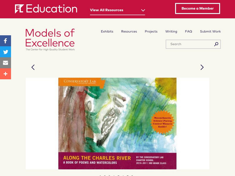
EL Education
El Education: Along the Charles River
Third grade students at Conservatory Lab Charter School in Brighton, MA, created this illustrated book of poetry as part of a three-month expedition on the Charles River. During this expedition, students learned how the Charles River...
Curated OER
Educational Technology Clearinghouse: Maps Etc: Economic Map of Europe, 1910
A map showing the chief industries and industrial districts, coal fields, agricultural and fishing districts, major cities, navigable rivers and principal railways throughout Europe in 1910. Chief industries are indicated by letter, with...
Curated OER
Educational Technology Clearinghouse: Maps Etc: Oregon, 1904
A map from 1904 of Oregon showing the capital of Salem, principal cities and towns, railroads, stage lines, mountains, rivers, and coastal features. "Oregon - Organized as a Territory in 1848; became a state in 1859. Area, 96,030 square...
Curated OER
Educational Technology Clearinghouse: Maps Etc: Washington, 1904
A map from 1904 of Washington showing the capital, Olympia, principal cities and towns, Indian reservations, railroads, mountains, rivers, and coastal features. "Washington - Organized as a Territory in 1853. Admitted to statehood in...
NOAA
Noaa: Endangered Whales
"There are currently seven species of cetaceans in U.S. waters that are protected under the Endangered Species Act." This site provides links to each species as well as provides colorful and engaging pictures.
Other popular searches
- Fisheries and Forestry
- Fisheries Management
- Global Fisheries
- Fisheries Act
- Salmon Fisheries
- Fisheries Data
- Game Fisheries
- Common Fisheries Policy
- Fishing Industry in Canada
- Science Fisheries
- Fisheries Conservation
- Fisheries and Oceans


