Curated OER
Primary Sources and Archaeology in the Study of Ancient Mediterranean Trade
Tenth graders begin the instructional activity by plotting trade routes, major empires and items traded. Using primary sources, they examine their own values regarding trading items for royality. They participate in a role-play...
Curated OER
The Letter Ff: Alphabet Theme
Students complete several cross-curricular activities to learn the letter Ff. In this letter recognition lesson, students complete activities that include geography, music, physical education, science, seasonal, space science, and online...
Curated OER
Does One Tree a Forest Make?
Students take a walk around the schoolyard looking at and identifying the trees. One leaf for each tree is collected. A chart is developed that represents the population of trees on the school ground. They keep journals and write an essay.
Curated OER
Geographic Luck
Students examine why some countries are rich while others remain poor. They view a video on the website, Guns, Germs and Steel, analyze primary sources to conduct research about plants and animals, and create a game based on their research.
Curated OER
Geography Made Fun with Technology
Students incorporate knowledge box into their classroom activities. In this technology integration lesson, students fill out a graphic organizer using Glossopedia to analyze a new subject.
Curated OER
Exploring 'Wild' Places With GIS
Students explore "wild" places. For this technology lesson students use ArcGIS Explorer to investigate wild places near them in their neighborhood. Students view the landscape from both above and the ground.
Curated OER
Geography
First graders recall names and placement of 7 continents. They recall cardinal directions. They identify and locate 3 oceans.
Curated OER
The Breathtaking Nature of the Urban Explosion, Part 2
Students explore ozone levels. They measure the concentrations of ground-level ozone in the atmosphere. Students observe changes in the concentrations of ozone over time. Students complete a data sheet to record ozone readings over a...
Curated OER
Geographic Information Systems
Students examine the concept of geographic information systems (GIS) and its basic components. They explore an application program using GIS technology and list the various uses for GIS.
Read Works
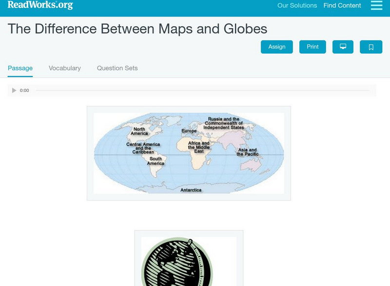
Read Works: The Difference Between Maps and Globes
[Free Registration/Login Required] This informational text passage shares the difference between maps and globes. This passage is a stand-alone curricular piece that reinforces essential reading skills and strategies and establishes...
ClassFlow
Class Flow: Maps and Globes
[Free Registration/Login Required] This flipchart reviews map and globe features. The seven continents, four oceans, and city-county-state-country relationships are also explained. Student assessment on directions is included.
ClassFlow
Class Flow: Maps Globe Skills
[Free Registration/Login Required] This flipchart discusses landforms, mapping and the Compass Rose. Students can practice using Cardinal Directions and use Activotes.
Alabama Learning Exchange
Alex: Tech Tours Using Google Earth
Grab your passport and head around the world as K-2 young scholars become reporters using Google Earth and podcasting to learn and share about maps, globes, people and places around the community, state and world. Tools featured include:...


