Science Education Resource Center at Carleton College
Serc: Investigating the Ocean Algal Blooms
This NOAA computer-based activity is designed to teach students in grades 9-12 how satellite imagery and remote sensing can be used to monitor harmful algal blooms (HABs). This lesson teaches students how to read and interpret satellite...
TeachEngineering
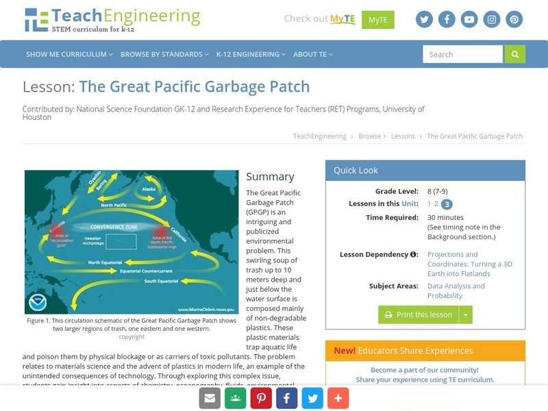
Teach Engineering: The Great Pacific Garbage Patch
The Great Pacific Garbage Patch (GPGP) is an interesting and somewhat publicized environmental problem. A swirling soup of trash up to 10 meters deep and just below the water surface is composed mainly of non-degradable plastics. These...
Geographyiq
Geography Iq
Detailed geographical information on any country is available at this site. Within the World Map section, you can get facts and figures about each country's geography, demographics, government, political system, flags, historical and...
PBS
Pbs Newshour: The Gi Bill's Legacy
Jim Lehrer, on his NewsHour program, offers an extensive interview with several historians discussing the impact of the GI Bill in transforming American society. Read what Stephen Ambrose, Doris Kerns Goodwin, Haynes Johnson, and Michael...
University of Colorado
University of Colorado: Error, Accuracy, and Precision Exam
A university exam on the topics of error, accuracy, and precision. Includes essay, short answer, and multiple-choice. Links to lecture and discussion notes. Answers to short essay and multiple-choice are provided.
Science Buddies
Science Buddies: Science Careers: Mapping Technician
Mapping technicians, also called surveying technicians, as their name suggests, use many different tools to make maps of many kinds. This Science Buddies site lays out the requirements needed to become a mapping technician, as well as...
TeachEngineering
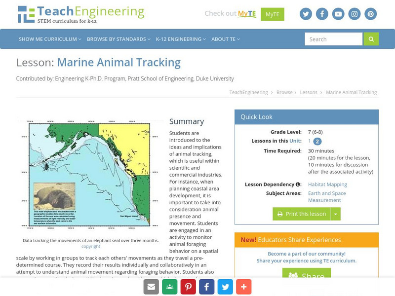
Teach Engineering: Marine Animal Tracking
This lesson engages students in an activity to monitor animal foraging behavior on a spatial scale. The students will break into groups and track each other's movements as they move through a pre-determined course. The results will be...
Ibis Communications
Eyewitness to History: Tokyo Rose
Students investigate ?Tokyo Rose? the name given by American GIs to nearly a dozen women of American descent who broadcasted propaganda for the Japanese during World War II. The resource consists of an audio clip of Tokyo Rose broadcasts...
52 Stairs Studio
Scribble Maps
Easily draw on maps and then share them with others. Simple enough to be used by students but powerful enough to be used by GIS professionals.
Information Technology Associates
Cia World Factbook: Slovakia Geography 2008
General geographic information on Slovakia, including natural resources and environmental issues.
Geographic
Geographic: Netherlands Economy
Provides a highly readable overview of the economy of the Netherlands packed with economic facts & statistics. Information is from the CIA World Fact Book.
Other
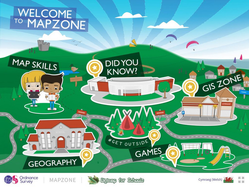
Ordnance Survey: Map Zone
All kinds of fun and interesting ways to learn about maps and acquire mapping skills.
Other
Environmental Science: Environmental Science Careers
Explore this list of close to fifty science careers with a connection and focus on environmental science. Also compare average salaries of each.
Science Education Resource Center at Carleton College
Serc: Detecting El Nino in Sea Surface Temperature Data
Through data analysis and observations of patterns, students learn about normal seasonal sea surface temperature variation as well as extreme variation, as in the case of El Nino and La Nina events, in the equatorial Pacific Ocean.
BBC
Bbc: Bitesize Geography: Os Map Skills
A short tutorial on mapping tools and how to read maps. Covers features of maps, symbols, the compass, scale, distance, how height is represented, and grid references. Includes multiple-choice quiz at the end.
Travel Document Systems
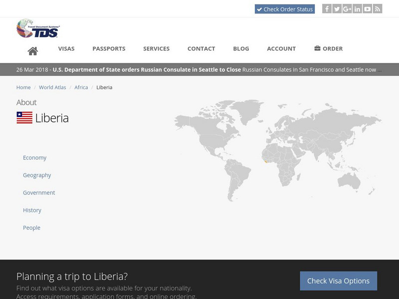
Tds: Liberia: Geography
A graphic showing geographical information about Liberia. You can find out about its size, climate, land use, and terrain. Information is from the CIA World Fact Book.
Other
Swiss World
This site from the Swiss government contains extensive geographical, cultural, historical, economic, social and political information about this mountainous, multilingual country. It contains extensive links to authoritative outside...
ClassFlow
Class Flow: Gps and Mapping
[Free Registration/Login Required] Learn about how GPS works and how it is used in the world. There are key questions and links to websites for further research.
Travel Document Systems
Tds: Sweden: Geography
Geographical and environmental information about Sweden. Information is from the CIA World Fact Book.
Other
Ggmap: Spatial Visualization With Ggplot2 [Pdf]
In spatial statistics the ability to visualize data and models super imposed with their basic social landmarks and geographic context is invaluable. ggmap is a new tool which enables such visualization by combining the spatial...
Travel Document Systems
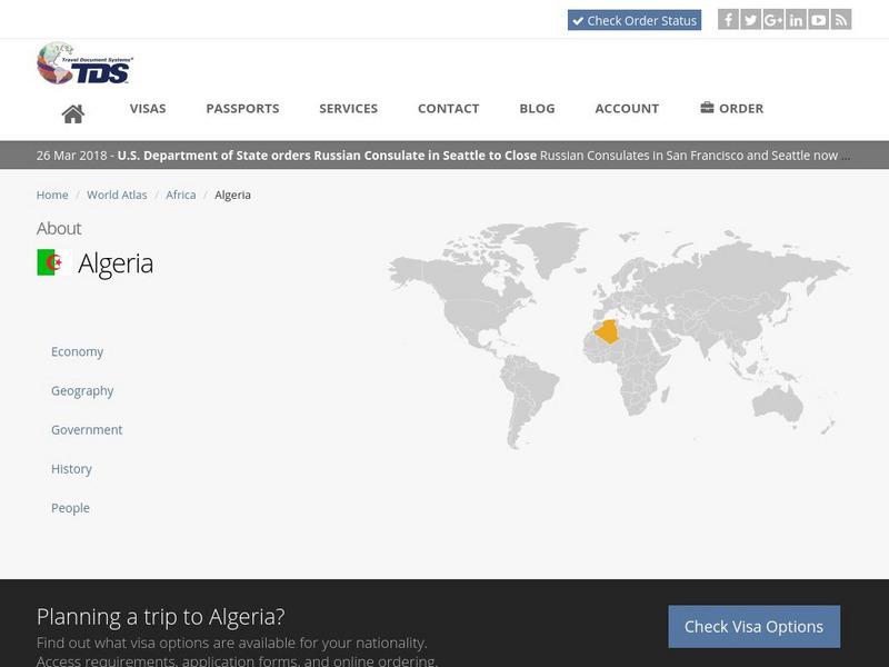
Tds: Algeria: Geography
A discussion of the geography of Algeria. You can read about the three distinct geographic regions, the climate, and the natural hazards. Information from the CIA World Fact Book.
Travel Document Systems
Tds: Egypt: Geography
Overview of the geography of Egypt with information from the CIA World Fact Book. Learn about the terrain, climate, natural resources, environment, and importance of its geographic location.
Other
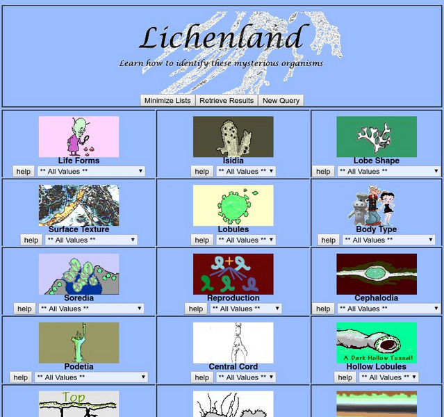
Lichenland: Discover the World of Lichens
This informative site serves as a primer for learning about lichens. Physical characteristics, types of reproduction, surface texture, and more are discussed.
Travel Document Systems
Tds: Gibraltar: Geography
This listing of geographic facts about Gibraltar gives information on the size, natural resources, climate, terrain, and strategic importance. From CIA World Fact Book.
Other popular searches
- Gis Data
- Gis Map
- Gis Software
- Gis Environment
- Gis and Gps Technology
- Gis Gps
- Gis and Remote Sensing
- Gis Data Map
- Geography, Gis
- Gis Lesson Plans
- Gps/gis
- Gis Water










![Ggmap: Spatial Visualization With Ggplot2 [Pdf] Article Ggmap: Spatial Visualization With Ggplot2 [Pdf] Article](https://d15y2dacu3jp90.cloudfront.net/images/attachment_defaults/resource/large/FPO-knovation.png)
