Curated OER
Earth on the Earth
Fourth graders plot points on a graph and transfer those coordinates onto a large scale model resulting in an outline of the Western Hemisphere. They identify the major geographical landforms of the Western Hemisphere.
Curated OER
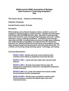
Eastern Europe: Passport to Understanding
Seventh graders explore Eastern Europe. They analyze data on select countries. Students prepare a short oral presentation on the country they researched. They locate their country using an interactive map.
Curated OER
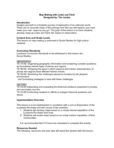
Map Making with Lewis and Clark
Students develop maps based on a virtual internet expedition of The Louisiana Purchase land area. They create the maps based on an actual outdoor expedition of their communities. Student create two maps, one based on the Louisiana...
Curated OER
Leapin' Landmarks: Locating 10 Man-made Landmarks Around the World
Third graders label continents, oceans, and major mountain ranges on maps and use the maps to write an informational report about landmarks. In this landmarks lesson plan, 3rd graders write about 1 major landmark.
Curated OER
Daily Life in Ancient Greece
Sixth graders discover what everyday life was like for Ancient Greeks. In this Greek history lesson, 6th graders examine the cultural diversity of Ancient Greece and how it affected daily life for its citizens.
Curated OER
The Hopi Indians
Fourth graders read and look at maps of the Hopi Indians and compare and contrast their lives with the Hopi Indians. In this Hopi Indians lesson plan, 4th graders learn about different cultures and answer short answer questions.
Curated OER
Investigating Our Place in the World
Students study the concept of geography in a year long unit. In this geography unit, students participate in different activities that explain the spatial sense of the world, the physical landmasses and bodies of water, geographic...
Curated OER
The Desert Alphabet Book
Students explore world geography by researching a science book with their classmates. In this desert identification lesson, students utilize a U.S. map to locate the geographical locations of deserts. Students create an oral report based...
Curated OER
Mesopotamia
Young scholars map Mesopotamia. In this Geography lesson, students are introduced to Ancient Mesopotamia. Young scholars use an atlas to label the defining features and areas of Mesopotamia on a map.
Curated OER
Putting the World in Perspective
Students work in small groups to: make a mental map of the world by tearing paper shapes of the seven continents and locating them on a flat surface in their relative positions, compare their finished mental map to a reference world map,...
Curated OER
Surveying our First President
Students act as surveyors. In this George Washington lesson, students read transcriptions from Washington's surveying journal and then try surveying skills on their own.
Curated OER
Tooling Around Arizona: Reading Arizona Maps
Students study geography. For this Arizona maps lesson, students develop their map reading skills. They have class discussions and work independently with various copies of Arizona maps to practice those skills. This lesson mentions...
Curated OER
Geography: Mapping Newspaper Coverage
Students examine the locations of stories appearing in newspapers and determine where to assign reporters. Using various maps, they connect the stories to the correct maps and create charts of the story locations. Students explain their...
Curated OER
Winter Wonderland: Internet Literature Project
Young scholars, using the Internet, communicate with peers around the world about winter-themed books. They study authors, write book reviews, re-write endings, interview book characters, create scene dioramas, paint murals, and write...
Miama-Dade County Public Schools
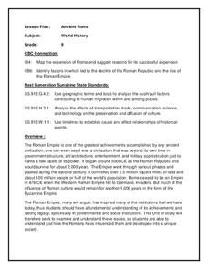
Ancient Rome
This resource outlines several general activities for a study of Ancient Rome, and includes guiding questions, a handout on the story of Romulus and Remus, and ideas for incorporating mapping and timeline activities into your review.
Curated OER
Canada's Geographic Position
Ninth graders investigate the characteristics of the geographic position of Quebec and Canada in the World. They study Canada's land and water boundaries, surface area and time zones.
Curated OER
Virginia's Five Geographic Regions
Tenth graders study the products and industries of five major geographic regions in Virginia. They use web based resources to examine maps of Virginia and to make a large classroom map which they label with the products and industries....
Curated OER
The borders of Europe. Geographically location or cultural artifice?
Twelfth graders discuss where they regard the boundaries of Europe to be. They raise their awareness that "Europe" may be more of a cultural construct than geographical defined continent.
Curated OER
U.S. History: What Happened Here?
Learners apply the global positioning system to create maps of local historical sites. By collaborating with local historical groups, they research events and relate them to broader, national history. In addition to writing essays...
Curated OER
Geographical Distance Skating
Learners get a cardiovascular workout while applying geographical concepts and processes by keeping track of mileage traveled from location to location until reaching the state capital.
Curated OER
Mapping and Excavating a Jello Mold
Fifth graders, in groups, map the three layers of different colored jello layers in molds and note the placement of fruit in them. On the grid paper they draw each grape, raisin, or other object and carefully remove each layer. After...
Curated OER
The Grand Excursion GPS Map
Eighth graders investigate the uses of a global positioning system. They create waypoints and have to find them using the system. Students must review the geographical concepts of latitude and longitude. The media requirements of the...
Curated OER
Controlling the Flow of the Colorado River: A Study of Dams
Students research and map the Colorado River and its dams and predict the effects of a dam on an area. They suggest reasons a dam would be built and compare the Colorado River system with other major river systems within the US and...
Curated OER
Studying the States!!!
Students explore the fifty states of America. They also learn the capitals and locations of the states. They also study the population, mottos, flags, and interesting historical facts about each state.


