Curated OER
G'Day Mate
Students understand that Australia is the smallest continent, locate it on a map and sing about the continents. In this Australia lesson, students listen to facts about Australia and complete a book about information they have learned.
Curated OER
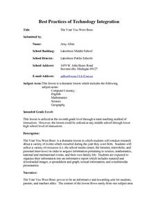
The Year You Were Born
Students research a variety of events that occurred during the year they were born. They conduct Internet research, conduct interviews, and organize their research information into a report using HyperStudio.
Curated OER
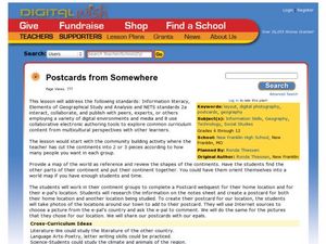
Postcards from Somewhere
Learners correspond with e-pals about their community. In this cross curriculum geography, technology, and literacy lesson, students complete a postcard webquest about their home location including local photographs. Learners e-mail...
Curated OER
"Where in the World is my School?"
Students learn new vocabulary and discuss what GPS is and does. They locate their school using the equipment.
Curated OER
The World (With an emphasis on the United States)
Fourth graders recognize the different continents. They are introduced to longitude and latitude and how to find locations using these measurements. This series ends with an emphasis on the fifty states of the United States and their...
Curated OER
The 21st Century Lewis and Clark Trail
Students create a better route through the Rocky Mountains for the Lewis and Clark expedition after tracing the original path.
Curated OER
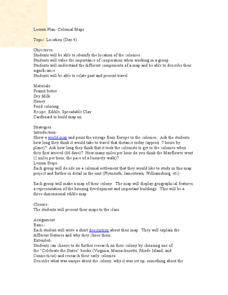
Colonial Maps
Students discover the history of America by identifying the traditional colonies. In this U.S. history lesson plan, students examine a world map and identify where the voyagers left from Europe to arrive at the United States. Students...
Curated OER
It's Happening, Where? Find the Absolute and Relative Location of News Articles
Pupils read newspaper articles. In this social studies instructional activity, students locate the latitude and longitude of the location where the news article takes place. Pupils write a summary of the news article.
Curated OER
How Can We Locate Specific Places On Earth?
Second graders discover how to use longitude and latitude to locate specific sites on Earth. They compare old and new ways of locating specific places, and discover how latitude and longitude coordinates are used to locate places on Earth.
Curated OER
Earth Matters
Students identify Earth's equator, prime meridian, lines of latitude, lines of longitude, parallels, and meridians.
Curated OER
Mapping Out Summarization
Students summarize a selected piece of text using a a six step process. After reviewing the correct way to read silently, students read a selected piece of nonfiction text. They write a summary paragraph using the six step process...
Curated OER
Using Charts and Graphs to Study East Asia's Modern Economy
Students examine East Asia's modern economy. In groups, classmates use the internet to compare the resources, products, and economy of specified countries. After collecting the data, pupils create charts, tables and graphs. They...
Curated OER
Shoes and the Backyard Landscape
Your shoes get a lot of mileage in familiar places. Represent the places you have traveled the most with an art project based on a print of Indian People Wear Shoes and Socks by Juane Quick-to-See Smith. Kids trace their shoes and draw...
Curated OER
Welina's World
Students living in Hawaii draw a picture of themselves in their neighborhood. They draw their neighborhood in relation to their district and then in relation to the island they are from. They compare their pictures to their classmates'...
Curated OER
Treasure Hunters
Students design an on campus treasure hunt to find various architectural vocabulary words which they then create definitions for on the blog page on the Environmental Design website.
Curated OER
Native Pottery Replicas
Students study ancient Native American traditions and practices. They select one type of Native American pottery to duplicate in a hand-made replica. Afterward, they create a map of the United States and label where indigenous peoples...
National Wildlife Federation
Get Your Techno On
Desert regions are hotter for multiple reasons; the lack of vegetation causes the sun's heat to go straight into the surface and the lack of moisture means none of the heat is being transferred into evaporation. This concept, and other...
California Academy of Science
Optimal and Sustainable: Renewable Energy Revamp
More than 100 cities around the world have shifted from fossil fuels to renewable energy sources. Scholars investigate a city wanting to make this switch, but needs help determining how to make the shift. Groups consider all options,...
Curated OER
Any Town, USA
Young scholars launch an investigation of their home town by creating a mental map and examining the livability factors from their perspective. After completing their map, students write a brief description of their town
Curated OER
Teaching Modeling Water Quality
Students explore the basics of interpreting RUSS temperature and oxygen profile data. They are introduced to the Geographic Information Systems (GIS), particularly with respect to interpreting maps.
Curated OER
From Pirates to Pilots to Spies
Sixth graders enjoy this introduction to the world of map projections, globes, aerial photographs, and satellite images. This lesson instructs students on the advantages and disadvantages of each earthly representation.
Curated OER
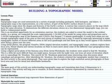
Building a Topographic Model
Young scholars explore Mount Shasta and various locations on Mars to examine ways geographical data can be represented. They study topographic maps and translating data from 2-Dimensions to 3-Dimensions.
Curated OER
How Do You Know Where You Are?
Seventh graders are introduced to geographic thinking, setting the stage for the creation of a map showing distance, direction, location and symbols from their residences to school.
Curated OER
Map-Making Basics
Students study maps. In this geography and art lesson, students create their own map of the classroom.


