Curated OER
Arctic cleanup
Ninth graders examine pollution problems and how it affects the community. In this arctic cleanup lesson students study ocean currents and how they affect pollution.
Curated OER
Understanding Canadian Weather Extremes
Students research and analyze the causes and sources of Canada's extreme weather conditions. They conduct an experiment, complete a worksheet and predict the most likely locations for extreme weather conditions.
Curated OER
Historical Indian Treaties and Aboriginal Population
Sixth graders navigate an online atlas of Canada and compare the land area of of historical Aboriginal peoples in Manitoba to present-day figures.
Curated OER
Mapping the Halifax Explosion
Young scholars research the Halifax Explosion using historical maps.
Curated OER
Mapping Population Changes In The United States
Students create a choropleth map to illustrate the population growth rate of the United States. They explore how to construct a choropleth map, and discuss the impact of population changes for the future.
Curated OER
Treasure of the Tar
Students, using an atlas, locate the region known as the "Tar Sands" in the Central Plains of Canada. They hypothesize about the future economic potential of this natural resource. They create a poster about the Tar Sands industry in...
Curated OER
Aboriginal Societies of Canada
Fourth graders study Aboriginal Societies in Canada and do an oral presentation to the class.
Curated OER
So -- What's Happening Here, On This Old Christmas Tree Farm?
Students review their prior knowledge on biomes and ecosystems. At a local Christmas tree farm, they work together in groups to identify the changes occuring in the area. They participate in solving a mystery in which they determine the...
Curated OER
The Dust Bowl and the Ogallala Aquifer
Students research the characteristics of the Great Plains as an agricultural area. They examine farming techniques from the past and how those farming techniques are used today. They investigate the present uses of the Ogallala Aquifer.
Curated OER
Geotagging in school
Students create a digital photo map of the world. In this digital photo map lesson plan, students pick topics such as the Olympics, natural disasters, or trip planning and create a photo map on the computer.
Curated OER
Sandscapes to Landscapes
Students explore landscapes and create their own in a creative project.
Curated OER
Various Industries to Help Hawaii's Economy
High schoolers identify various industries in Hawaii and where those products/services are exported to. They create a timeline which highlights important dates and events of those different industries. Finally, they identify on a map...
Curated OER
Sam Houston for President...Again
Fourth graders discover the political career of Sam Houston. In this Texas history lesson, 4th graders research primary resources and create a modern-day version of Sam Houston's political campaign of the 1840s.
Curated OER
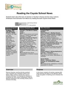
Reading the Coyote School News: Lives of Ranchers in Southern Arizona
Fourth graders examine the effects of Mexican-American ranching on life today.
Curated OER
Recycle, Reduce, Reuse and Save a Tree
Students examine how to save and protect trees. In this conservation lesson, students read books about the usefulness of trees, write ideas in their journals about how trees can be used, and make a book of ways to protect trees.
Curated OER
Regional Landforms and Native People
Third graders study the Native American tribes of Maidu and Miwok by studying Internet artifacts, culture, language, music, storytelling, architecture, food, clothing, crafts and geology.
Curated OER
Amazonian Travel Brochure
Young scholars create a brochure. In this Amazon research lesson, students research a tourist attraction in the Amazon and develop a travel brochure.
Curated OER
Topography of Africa
Students study Africa's diverse landscape and investigate how these features impact the available water supply, food sources, and population distribution of the continent. They compare topographical features and
their affect on each...
Curated OER
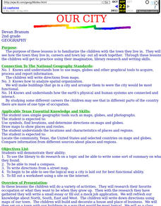
Our City
Second graders familiarize themselves with the town they live in by practicing their imagination, library research and writing skills.
Curated OER
World Continents
Students identify the continents of the world. In groups, students create a three-dimensional clay representation of their assigned continent. Using KidPix software, they draw and color their continent. Students research their continent...
Curated OER
Aboriginal Peoples And The Universals of Culture
Sixth graders research specific features of a province or territory of Canada. In this Canadian history lesson, 6th graders identify aboriginal culture areas on a map, identify cultural features represented in their region, and create...
Curated OER
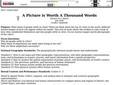
A Picture Is Worth A Thousand Words
Students complete a population pyramid for a city they are studying. They may complete a population pyramid for their city and another one for the country in which the city is located. They compare and contrast the results of the two...
Curated OER
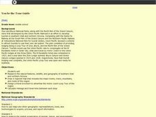
You be the Tour Guide
Students research the natural features and wildlife of Arizona and Utah. They draw a map of the region that includes rivers, towns, mountains and roads. They work together to create a travel brochure of the area.
Curated OER
The Rise of the City States in Greece
Sixth graders examine Ancient Greece and its development of democracy. In this Greek History lesson, 6th graders explore the rise of city-states in Greece and its overall effect on the development of democracy. The class continues with...


