Curated OER
Word Groups 4
In this word groups worksheet, students put words that are together into a group. Students put 9 problems of words into a group on this worksheet.
Curated OER
Traveling the Silk Road
Pupils take a virtual trip down the Silk Road. Using a map, they trace the location of the trade route and others that were developed later. They use different spices and goods to trace how they came to the Americas. They answer...
Curated OER
Population and Population Density
Students read and interpret graphs. In this population instructional activity, students explore population and population density as they read several data graphs and respond to questions.
Curated OER
Religions of the World
Second graders explore the part that religion plays in a culture. They explore how many different religions there are in the world and where they're located.
Curated OER
Outlining Transportation#139
Students examine how people, products, and ideas travel. They create an outline using the proper format after completing a class brainstorming session about means of transportation.
Curated OER
Metalling in Around the World
Third graders explore the important leaders in different cultures by researching coinage. Through this process, they also recognize the cultural universality on coinage and currency.
Curated OER
Lorna Doone
Students examine life in the early 17th century by viewing a film called "Lorna Donne". They identify the politcal scene at the time while noting the major characters. They practice using new vocabulary as well.
Curated OER
Multiculturalism Through African Folk Tales And Mayan Myths
Students study the myths of various African cultures and of the Mayan people. They identify unique characteristics of African myths and Mayan myths. They define and recognize the style and tone of the Mayan myths and create their own...
Curated OER
The Life and Death of the Byzantine Empire
Ninth graders understand the state of the world around the year 1000 AD as it pertains to the Byzantine Empire. They analyze and discuss the characteristics of the Byzantine Empire.
Other
The Roman World 509 b.c. To a.d. 180
This narrative site provides great overview to life in ancient Rome and Roman history. The geography, early settlers, Roman monarchy, Roman conquest of Italy are all mentioned.
Stanford University
Orbis: The Stanford Geospatial Network Model of the Roman World
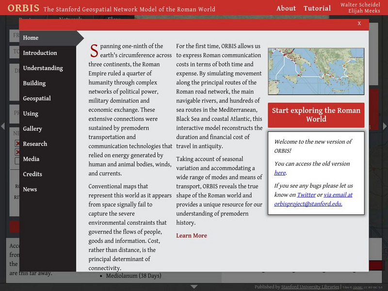
A geospatial model mapping the roads and trade routes of the Roman world reconstructs the time and cost associated with travel and trade around 200 CE.
Franco Cavazzi
Roman Empire: The City of Rome
At this site from the Roman Empire, The Forum is explained, from its early beginnings to the later days of the Republic. This site colorfully describes the people, shops, markets, and the "Subura."
Franco Cavazzi
Roman empire.net: Roman Empire Map
This site from Roman-Empire.net provides an interactive map of the Roman Empire. The expanse of the empire can be viewed by dates. The site can be searched by Provinces, Territories, Tribes, Towns, Cities, or Barbarian Incursions.
Other
Maps of Ancient Rome
This ancient history site features maps of Rome from just the "seven hills" to the entire city plan with the areas labeled in Latin.
Other
Ministry of Culture and Communication: Paris, a Roman City
Explore the history of Paris (or Lutetia, as the ancient Romans called it) by following archaeological remnants and still-extant traces of its earlier inhabitants. Paris, A Roman City, focuses principally on the Roman phase of the city's...
Forum Romanum
Outlines of Roman History: Introduction the Land and the People
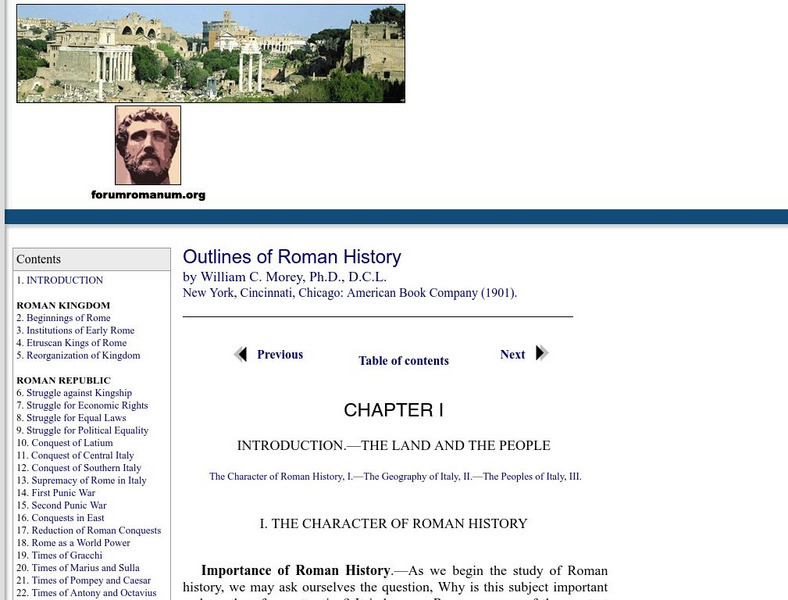
This is the introductory chapter of Morey's 1901 textbook on Roman History. It sets out the geography of Italy and the Italic tribes who lived there. The text is old, but surprisingly easy to read and packs in a lot of information.
Loyola University Chicago
De Imperatoribus Romanis: Rome and Its Seven Hills
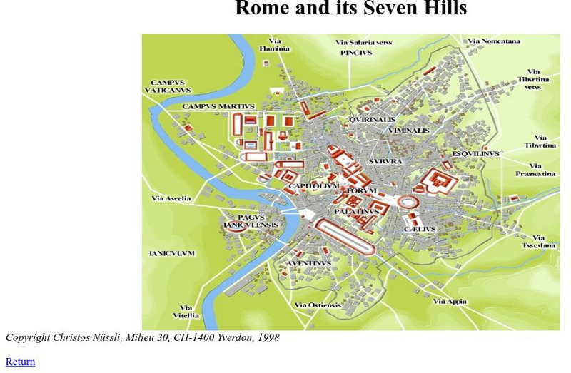
This online map shows Rome, the seven hills, the roads that lead into Rome, and major buildings. Labeled in Latin, but easy to figure out.
PBS
Pbs: The Roman Empire of the 1st Century: Mapping an Empire
In this instructional activity, students will compare a map of the Roman Empire in 44 BC with one of the Roman Empire in 116 AD. Using these two maps as a reference, students will use critical reading skills to learn about the expansion...
Hofstra University
Hofstra University: Transport Geography: Roman Road Appian Way
Hofstra University offers an excellent image and several paragraphs of information on the Appian Way, a road that set the standard for road construction throughout Roman territory.
Forum Romanum
Outlines of Roman History: Beginnings of Rome: The Situation of Rome
The seven hills of Rome are shown on two maps, showing the hills and their relation to neighboring lands on the Italian peninsula. There is a brief discussion on the geographic importance of the hills.
University of Calgary
University of Calgary: Roman Domination of the Mediterranean
This map, which is provided for by the University of Calgary, displays the extent of the territories governed by the Roman Republic in 86 BC.
Other
Edublog: Dalton School: Rome Project
Looking for data about Classical Rome, check out the resources provided by The Dalton School.
Franco Cavazzi
Roman empire.net: Roman Italy Map
This site from Roman-Empire.net is an interactive map of Roman Italy. Areas, Regions, Tribes, Towns, Cities, Rivers, Lakes, and Mountains can be searched for with pull-down menus.
Friesian School
Fresian School: Animated History of Rome and Romania
This animated graphic, which is provided by the Fresian School, allows you to see how Rome grew and shrank between 300 BC and 1453 AD. The map changes in increments of about 50 years.


