Radford University
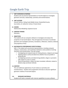
Google Earth Trip
Travel the world instantly—and learn about math along the way. Using pictures of famous places taken from Google Earth, scholars look for parallel and perpendicular lines based on slope and angle measurements. They also calculate...
TeachEngineering
Teach Engineering: Digital Mapping and Geographic Information Systems (Gis)
Geographic information systems (GIS), once used predominantly by experts in cartography and computer programming, have become pervasive in everyday business and consumer use. This unit explores GIS in general as a technology about which...


