Curated OER
Western Civilizations, Chapter 23: Modern Industry and Mass Politics, 1870-1914
Looking for an interactive way to supplement your western civilization course? Check out this comprehensive website, designed to accompany the Western Civilizations text (although it is valuable independently). Scholars investigate...
Curated OER
Finding Meaning in the Badge
Children who are three to five years old study two rank badges from the Qing dynasty to develop an understanding of social rank, language skills, and symbolism. The lesson plan is discussion-based and requires learners to compare and...
Curated OER
Survival or Democracy?
Learners take a closer look at Pakistan today. In this current events lesson, students visit selected websites to discover a history of the country, the cultural values of its citizens, and structure of the of the government there.
Curated OER
Introduction to the Civilization of Ancient Greece
Students realize Greece's location in relation to the previously learned civilizations and learn the vocabulary needed for this unit of study. They use the interactive SMART board to locate places and learn necessary information of...
Curated OER
What Does Bird Flu Mean to Students?
Students consider the far-reaching effects of the avian flu. In this personal health lesson, students visit selected websites to discover information about the flu, viral infections, and intensive farming. Students...
Curated OER
The Big City
Students explore structures in a big city. In this big city lesson, students become familiar with vocabulary about big cities through songs graphs, and hands-on art. Students practice phonic sound /M/.
Curated OER
Boom Town/Gold Rush
Learners discover the history of California by researching the Gold Rush. In this economics history lesson, students participate in a class discussion about the book Boom Town, and the value of gold in California. Learners...
Other
Edte.ch: Maths Maps
Maths Maps is a collaborative project where participants use Google maps to choose a location within one of the cities highlighted, then create a Math problem about the site. The problems are marked on the map with various colors...
Google
Google Maps: Great Barrier Reef, Australia
With these vibrant and stunning photos, you don't have to be a scuba diver-or even know how to swim-to explore and experience the Great Barrier Reef.
TeachEngineering
Teach Engineering: Digital Mapping and Geographic Information Systems (Gis)
Geographic information systems (GIS), once used predominantly by experts in cartography and computer programming, have become pervasive in everyday business and consumer use. This unit explores GIS in general as a technology about which...
Other
Map Channels: Dual Maps
"Dual maps combine Google Maps, Google Street View and Microsoft Bing Maps into one embeddable control" that allows the user to customize to fit their needs.
Other
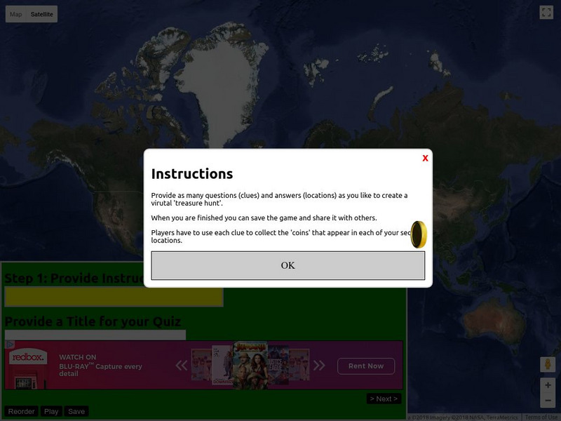
Classtools.net: Map Treasure Hunt
Use this tool to create a 'treasure hunt' based on Google maps. The teacher provides clues and locations, then saves the game and shares it with students and/or others. Players use the clues to collect the 'coins' that appear at each...
Google
Google Earth Explore, Search and Discover
Find a specific location in the world. View exotic locations, famous buildings, and even your own home! See the terrain and buildings in 3D. Search for restaurants, hotels, parks and schools within a certain area.
Google
Google Earth Explore, Search and Discover
Find a specific location in the world. View exotic locations, famous buildings, your own home! See the terrain and buildings in 3D. Search for restaurants, hotels, parks and schools within a certain area.
Sophia Learning
Sophia: Urban Models in the Real World
By using Google Earth and city road maps, students will compare the layout of their city to one of the three North American urban models and see which one is the best fit.
Other
Hey Math: Math Trail
Powered by Google Maps, these exciting trails take you to locations connected by a theme. Test your Math and geography skills along the way.
Other
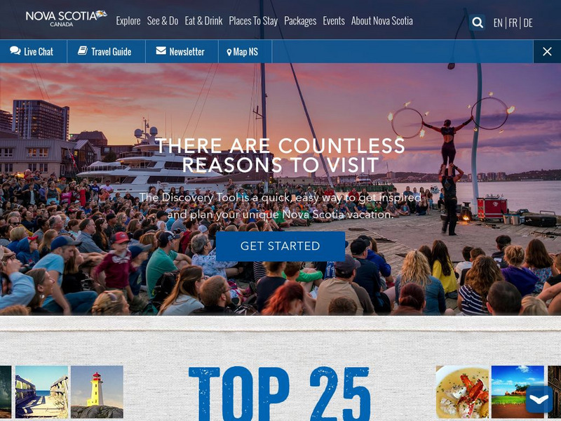
This Is Nova Scotia
This is the home of Nova Scotia's Official Tourism Website. Find much useful information about this beautiful Canadian province including learning about its history, culture, music, climate, and geography. Capture its charm while viewing...
Curated OER
Geology.com: Madagascar Map Madagascar Satellite Image
Check out this great satellite image of Madagascar from Google Earth. Scroll past the informative political map to see the image. There is more information about the country below the satellite map.
Curated OER
Geology.com: Kazakhstan Map Kazakhstan Satellite Image
Check out this great satellite image of Kazakhstan from Google Earth. Scroll past the informative political map to see the image. There is more information about the country below the satellite map.
Curated OER
Geology.com: Kyrgyzstan Map Kyrgyzstan Satellite Image
Check out this great satellite image of Kyrgyzstan from Google Earth. Scroll past the informative political map to see the image. There is more information about the country below the satellite map.
Curated OER
Geology.com: China Map China Satellite Image
Check out this great satellite image of China from Google Earth. Scroll past the informative political map to see the image. There is more information about the country below the satellite map.
Curated OER
Geology.com: Kuwait Map Kuwait Satellite Image
Check out this great satellite image of Kuwait from Google Earth. Scroll past the informative political map to see the image. There is more information about the country below the satellite map.
Curated OER
Geology.com: Albania Map: Albania Satellite Image
Check out this great satellite image of Albania from Google Earth. Scroll past the informative political map to see the image. There is more information about the country below the satellite map.
Curated OER
Geology.com: Angola Map Angola Satellite Image
Check out this great satellite image of Angola from Google Earth. Scroll past the informative political map to see the image. There is more information about the country below the satellite map.


