Curated OER
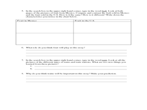
Read a Transportation Story
Third graders research the building of a transcontinental road. In this railroad history lesson plan, 3rd graders discuss past and present transportation. Students look at historical photos and compare and contrast photos from today.
Curated OER
Map Lesson Plan
Fourth graders locate and label major sites related to the Revolutionary War in the Hudson River Valley. They examine topographical features of each site and list a few of these features and list two advantages of each military site.
Curated OER
Recreate the Race
Learners research and find the route of the Alaskan dog sled race.In this Iditarod race instructional activity students find the checkpoints for the Iditarod on a map. Learners research information in pairs about each one of the...
Curated OER
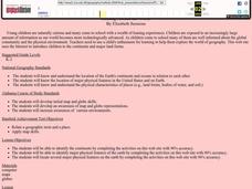
Explore Your World--Geography Takes You Places
Young scholars examine how the world around them is constantly changing. In groups, they travel between centers in their classroom to role play the role of explorers in Washington D.C. They share their experiences with their classmates...
Curated OER
Esperanza Rising - Anticipation Guide
Learn about Mexican culture while simultaneously strengthening reading, writing and computer skills. In order to get the most out of Esperanza Rising, pupils should have prior knowledge of Mexican culture. Therefore, there are links to a...
Curated OER
Beyond Demographics
Students study the Dominican Republic through watching and discussing a video about the country and its people. They explain life in the Dominican Republic and describe the emerging picture of the Dominican Republic as viewed through...
National Geographic
Rescuing, Relocating, and Rehabilitating Wildlife
Bring up the Deepwater Horizon (BP) oil spill that occurred in the Gulf of Mexico in 2010. Display the colorful diagram of the coastal and marine organisms living in the area. Show a video about relocating the eggs of the Gulf's sea...
Curated OER
Community Map of The Giver
Students read "The Giver" after finishing the unit on inventions and inventors. Using the information in the novel, they develop a geographic map illustrating the community in the story. They identify human and physical features and...
Curated OER
George Washington Teaches Map Directions
Students follow teacher given directions, either oral or written to plot points on a grid to create a profile of George Washington. They apply cardinal and ordinal directions to find the points on the grid.
Curated OER
Equator, North Pole, and South Pole
Students identify the Equator, North Pole, and South Pole on the globe. In this map skills lesson, students use a globe marker to locate specific locations on the globe. Students find where they live in relation to the Equator.
Curated OER
Latitude and Longitude
Fifth graders study latitude and longitude. They estimate the latitude and longitude of their hometown and find the latitude and longitude of other cities using a map. They use a website to find out the cities' actual latitude and...
Curated OER
Winter Holidays Around the World
How much do you know about the holidays around the world? Second graders put their knowledge to the test with a 14-day lesson about global celebrations. They read informational text, employ KWL charts, and compare and contrast the many...
Curated OER
Tracking Satellites Using Latitude and Longitude
Students, viewing an Internet site, plot the path of several satellites using latitude and longitude over the course of an hour. They learn the four basic types of satellites and their purpose.
Curated OER
The Fabric of Our World
Students discuss cultural diversity, and examine how the community reflects the cultural background of the inhabitants. They read the book, People, take a community walk, create a rainbow chart, and research other states for relocation...
Curated OER
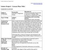
Longitude & Latitude
Seventh graders role play as ship's captains to study longitude and latitude.
Curated OER
SpellO': An Orienteering Lesson
Young scholars participate in hands-on activities to practice orienting maps. Given activity cards, students accurately read maps and locate specific stations. Young scholars collect information from the maps to spell a message when...
Curated OER
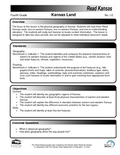
Kansas Land
Fourth graders discover the geographic regions of Kansas. In this geography lesson plan, 4th graders explore the different regions of Kansas and determine how the different geography affects daily life in Kansas.
Curated OER
Utah Becomes a State—1890
Students read about and discuss the geography and statehood of Utah. In this Homestead Act lesson, students read the Homestead Act and discuss its effects. Students analyze a precipitation map and work in pairs to answer discussion...
Curated OER
My Community
Students identify how their school has changed. In this local community lesson, students listen to a brief history of their town and school and interview someone that graduated from their school. Students then create a map of their...
Curated OER
Reading Around the World
Students use the internet to identify the seven continents. Using maps, they locate and identify major physical features of Earth. They are read different books by various authors on the Earth and answer questions related to it. They...
Curated OER
Mapping My Community
Ninth graders are introduced to GPS technology. They complete fieldwork as they visit a specific area of their community to identify and map types of land use in the surveyed area. They use the collected data to create a digital map.
Curated OER
Come One, Come All
High schoolers analyze information from core map and other sources and construct routes from New York and Boston to Cincinnati as they might have existed in 1835.
Curated OER
East Asia Country Project
Get your young historians thinking about East Asian culture and history during this partner research project, in which they analyze a variety of East Asian aspects to prepare for a presentation. After an initial "what do we already know"...
Curated OER
What's In a Name?
Students explore the relationship between names and certain cultures and locations. In this identity lesson, students create family migration or immigration maps. Students read excerpts from When My Name was Keoko and Lost Names: Scenes...


