Curated OER
Where In the World Am I?
Learners identify their location in the world after studying latitude, longitude, relative location, and absolute location. They use assigned web site to find information to make a flipbook that answers questions about their location in...
Curated OER
Breaking News English: Iraq
For this Iraq worksheet, students read the article, answer true and false questions, complete synonym matching, complete phrase matching, complete a gap fill, answer short answer questions, answer discussion questions, write, and more...
Curated OER
Athabaskan & Navajo Migration
Students examine the migration patterns of the Athabaskan and Navajo tribes. After taking notes on a lecture, they compare and contrast the two groups. To end the lesson, they write their favorite Navajo story in their journals.
Curated OER
Physical Location; How a Border Town Might Develop
Students speculate how a location can develop into a large town. They investigate the physical resources and how populations can grow. There are guiding questions to help students through the research and class discussion. Students make...
Curated OER
Colors Crackle, Colors Roar
First graders engage in a reading of poems in colorful language. They become with the interrelation of using Spanish and English words interchangeably in a text. The lesson also builds multicultural appreciation for young students.
Curated OER
Native Americans - People of the Plains
Students explore Plains Indians and practice computer skills by reading creation and migration stories on People of the Plains CD-ROM, and watching Plains video. Students examine village life of Plains Indians, and view different...
Curated OER
Lorna Doone
Students examine life in the early 17th century by viewing a film called "Lorna Donne". They identify the politcal scene at the time while noting the major characters. They practice using new vocabulary as well.
Curated OER
Colonies and Revolution: Comparing US and Mexican History
Young scholars examine the emergence of the United States and Mexico as independent nations. They compare the colonial history of the two countries and discover the emergence of social classes.
That Quiz
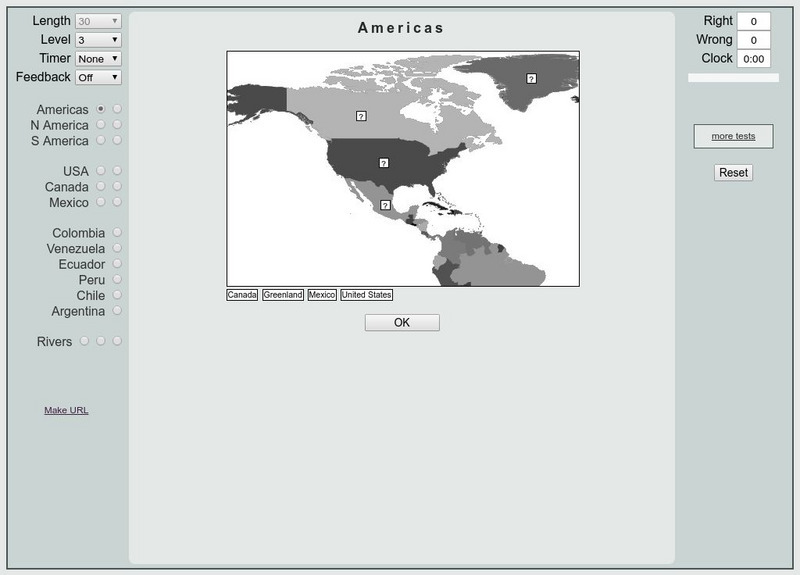
That Quiz: Practice Test: Americas
This resource provides a practice test which allows users to test their geographical knowledge of the Americas.
World Atlas
World Atlas: North America
Features maps and a description of the geography and history of North America with links to information on its countries, famous people, flags, symbols, and much more.
Read Works
Read Works: This Is North America
[Free Registration/Login Required] Intended to support early elementary students' reading comprehension, geographical information about North American is provided in this informational text. Questions that assess multiple reading skills...
Library of Congress
Loc: Maps of Cities and Towns
Looking for old maps of somewhere in the United States? Check out this huge collection of maps! Search by the name of a city or town, another keyword, subject, title, or geographic location.
Ducksters
Ducksters: Geography Games: Capital Cities of North America
Play this fun geography map game to learn about the capital cites of the countries of North America.
Central Intelligence Agency
Cia: World Factbook: Regional and World Maps
Maps of major areas of the world can be downloaded here. The maps have excellent detail and are in color.
Other
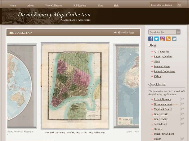
The David Rumsey Historical Map Collection
"The David Rumsey Historical Map Collection focuses on rare 18th and 19th century North and South America cartographic history materials. Historic maps of the World, Europe, Asia, and Africa are also represented. The collection...
Ducksters
Ducksters: Geography for Kids: North American
Learn about North American countries and geography. The flags, maps, exports, natural resources, and languages of North American are found on this website.
Other
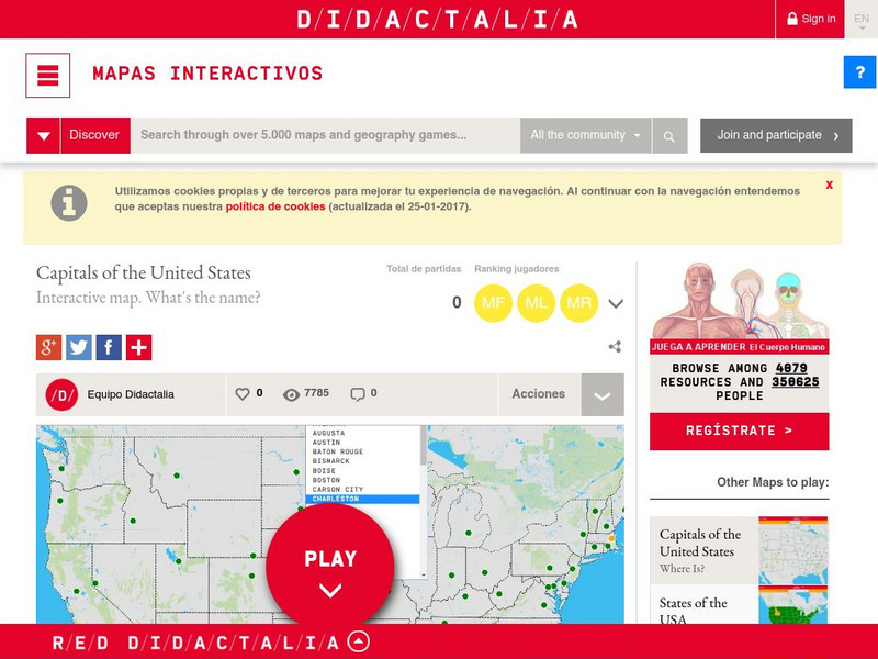
Didactalia: Interactive Map: Capitals of the United States
Interactive map and game to identify capitals of the U.S. states.
Other
Seterra: North and Central America: Countries Map Quiz Game
Test your knowledge and see if you can place all the countries in North America in their correct spot!
Ducksters
Ducksters: Geography Games: Flags of North America
Play this fun geography map game to learn about the flags of the countries of North America.
Enchanted Learning
Enchanted Learning: Geography
At this site from Enchanted Learning, you can take a quiz, printout a map of the United States of America, and see where the Middle East is located in the world. Links are also provided for additional information.
Geographic
Map of Canada
Basic map of Canada. Includes major cities, coastlines, major lakes and rivers, and bays.
Kidport
Kidport: United States of America Geography
This site contains a fun way to learn about the states within the United States. Click on the state that you want to learn more about and it provides facts, geographic landmarks, points of interest, major industries, a quiz and more.
US Government Publishing Office
Ben's Guide to u.s. Government: Our Nation
Cartoon Ben Franklin guides students through a simple geography lesson about the seven continents, North America, the fifty states, and Washington, D.C.


