Curated OER
We've got the whole world in our hands
Students explore spatial sense in regards to maps about the globe. In this maps lesson plan, students label oceans, locate the continents and poles, follow directions, and explain the symbols on a map.
Curated OER
Yo-ho, Yo-ho a Viking's Life for Me
Students complete a unit of lessons on the Vikings. They analyze maps, read and discuss myths, summarize the main ideas from resource materials, watch videos, sing a song, draw a picture to illustrate Norse mythology, and define key...
Curated OER
Coral Reef Conservation
High schoolers conduct discussions on current threats to coral reefs around the world and write letters to conservation organizations urging support for coral reef protection.
Curated OER
Where In the World Am I?
Learners identify their location in the world after studying latitude, longitude, relative location, and absolute location. They use assigned web site to find information to make a flipbook that answers questions about their location in...
Curated OER
Topography of Africa
Students study Africa's diverse landscape and investigate how these features impact the available water supply, food sources, and population distribution of the continent. They compare topographical features and
their affect on each...
Curated OER
Passport to Stories Around the World
Students read stories from various cultures and create a passport indicating the completion and comprehension of the story. The template for the passport is included. The instructional activity can be used for a broad range of ages...
Curated OER
How to Celebrate the 800th Anniversary of the Mogol Empire
Students research information on the Mongolian Empire from various readings and online videos of primary sources and create a poster for oral presentation. Students connect history with the current day, while incorporating geographical,...
Curated OER
Traveling Through North America
Students identify places and landmarks in North America, specifically Canada and the United States, by using and constructing maps. Six lessons on one page; includes test.
Curated OER
Getting to Know My World
Students participate in hands-on activities using maps and globes to identify geographical features. Students use map legends to identify direction. Students locate oceans, continents, countries, states and cities. Handouts and...
Curated OER
Who Dropped What into the Melting Pot?
Students show the movement of people to the United States from other countries on maps. They study the geographic cultural roots of foods that contribute to the melting pot of food in America. They research where an ingredient comes from...
Curated OER
The Lesson: Bio-fuels
Students explore the pros and cons of bio-fuel use. In this environmental stewardship activity, students visit selected websites to discover what bio-fuels are and the effect they may have on the environment.
Curated OER
Disaster Strikes
Learners examine the devastation caused by the tsunami of 2005. In this current events lesson, students consider the effects of natural disasters as they research tsunamis and the worldwide response to the December 26, 2005 tsunami....
Curated OER
Old World and New World - Why Contact Took So Long
Students use a globe to determine why contact between the old world and the new world took a long time. In this map skills lesson, students analyze routes between regions to determine why it took so long for the old world and the new...
Curated OER
Landforms All Around
Students create a "Landform Dictionary". They develop an overlay map and participate in hands-on activities to identify the key characteristics of landforms. They discuss the plant and animal life of these areas. Handouts for the lessons...
Georgia Department of Education
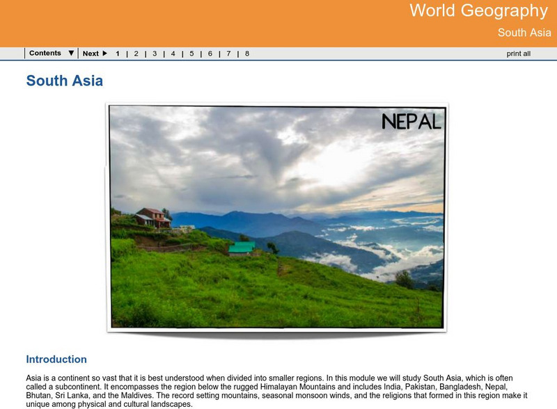
Ga Virtual Learning: World Geography: South Asia
World Geography learning module on South Asia guides students through course materials using multi-media resources, assignments and assessment.
University of Pennsylvania
University of Pennsylvania: An Agrarian History of South Asia
A lengthy essay that fully describes agrarian history in South Asia, along with political connections.
History Teacher
Historyteacher.net: Global Studies: The Geography of South Asia Quiz
This 9-question multiple choice quiz is immediately scored and examines your understanding of the geography of South Asia.
Other
Harper College: South Asia Physical Geography
This is a map quiz of the physical features of South Asia. It contains lists of land bodies, rivers, and water bodies to be matched to a map of South Asia. It can be used as a study tool.
National Geographic Kids
National Geographic Kids: South Korea
Welcome to South Korea ! Follow this interactive overview of the country's history, geography, people, government, nature, and more. A map and video are included.
Science Struck
Science Struck: A Complete List of All the Countries in Asia
Lists the 49 countries in Asia and their capitals, organized by geographical region.
BBC
Bbc: News: Country Profile: Maldives
BBC News offers a general overview of the South Asia islands of Maldives. Focus is on history, country facts, political leaders, and news media. Provides access to a timeline of key events, recent news articles, and related internet...
BBC
Bbc: News: Country Profile: Sri Lanka
BBC News features a general overview of the South Asia island of Sri Lanka. Focus is on history, country facts, political leaders, and news media. Provides access to a timeline of key events, recent news articles, and related internet...
National Geographic Kids
National Geographic Kids: Nepal
Nepal lies between China and India in South Asia. The country is slightly larger than the state of Arkansas. Nepal has the greatest altitude change of any location on Earth. The lowlands are at sea level and the mountains of the...
Nations Online Project
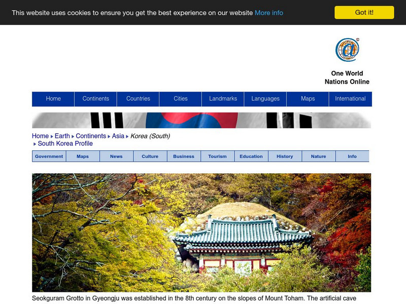
Nations Online: South Korea
Presents a travel guide and country profile for South Korea including a background overview and numerous links to comprehensive information on the country's culture, history, geography, economy, environment, population, news, tourism,...


