Other
Guardian's Egypt: Map of Egypt
Print out this very detailed map of Lower Egypt, Upper Egypt, and Nubia with ancient Egyptian cities and geographic features.
Tom Richey
Tom Richey: The Nation of Israel: C. 1200 586 b.c.
Learning module in which AP history teacher, Tom Richey, tells the story of the ancient Israelites illuminating the significant impact they had on the region and the world. Includes unit material, lecture notes, videos and primary sources.
Read Works
Read Works: China Today: China's Biggest Cities
[Free Registration/Login Required] An informational text about Beijing and Shanghai, two large cities in China. A question sheet is available to help students build skills in reading comprehension.
SMART Technologies
Smart: Ancient Egypt Religion
Topics discussed: creation, symbols, polytheism, Book of the Dead, Mummification, Cartouche, Curse of the Mummy, pyramids, and the Riddle of Sphinx. Very Interactive!!! - Make your own cartouche, explore a tomb, and make your own mummy.
Library of Congress
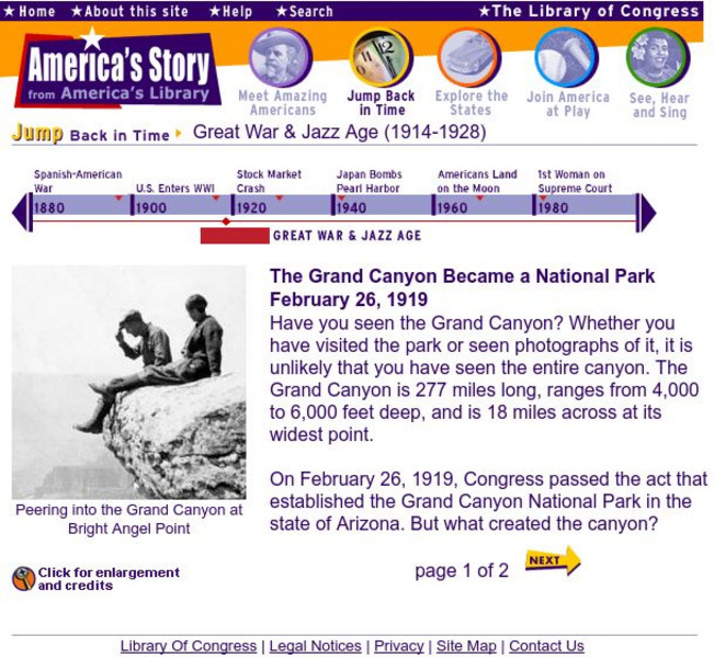
Loc: America's Story: Grand Canyon Became a National Park
The Grand Canyon officially became a National Park on February 26, 1919. This article features actual photos and a description of this historic event.
Encyclopedia Britannica
Encyclopedia Britannica: Qin Mountains
This site from Britannica.com has a brief description of the Qin Mountains, also known as Tsinling Mountains. The article in full is only available with a subscription.
China State Council Information Office and the China International Publishing Group
Travel in China: The Plains
A very informative look at the Plains of China.
CRW Flags
Flags of the World: Central African Republic
Flags of the World offers a large flag of Central African Republic with a description of the flag and coat of arms.
Texas State Historical Association
Texas State Historical Association: Water Resources [Pdf]
An activity guide where students refer to the Texas Almanac, which is free to download, for information needed to complete assigned tasks. In this lesson, they learn the difference between primary and secondary streams, then research and...
Other
International Lake Environment Committee Foundation: Lake Biwa (Japan)
See a map of Lake Biwa, and a brief description of the biggest lake in Japan.
Curated OER
Educational Technology Clearinghouse: Maps Etc: Barlow's Map, 1785
An English facsimile of a map issued by Joel Barlow in Paris (1787) of the area north of the Ohio River, showing the essential parts of a map with his proposals to induce immigration, but the legends are turned into English from the...
Curated OER
Photo Globe: Venezuela
Presents many general country specific facts about Venezuela in a well organized chart form. Content includes: geography, people, government, economy, communications, transportation, military, and transnational issues. This site is...
Other popular searches
- Ireland Geography Rivers
- Rivers and Lakes Geography
- Geography Rivers Year 3
- Geography Rivers Fieldwork
- Geography Rivers and Floods
- Geography Rivers Poems
- Geography Rivers of Canada
- Geography Rivers Thames
- Geography Rivers in Texas
- U. S. Geography Rivers
- U S Geography Rivers


